 UKLakeDistrict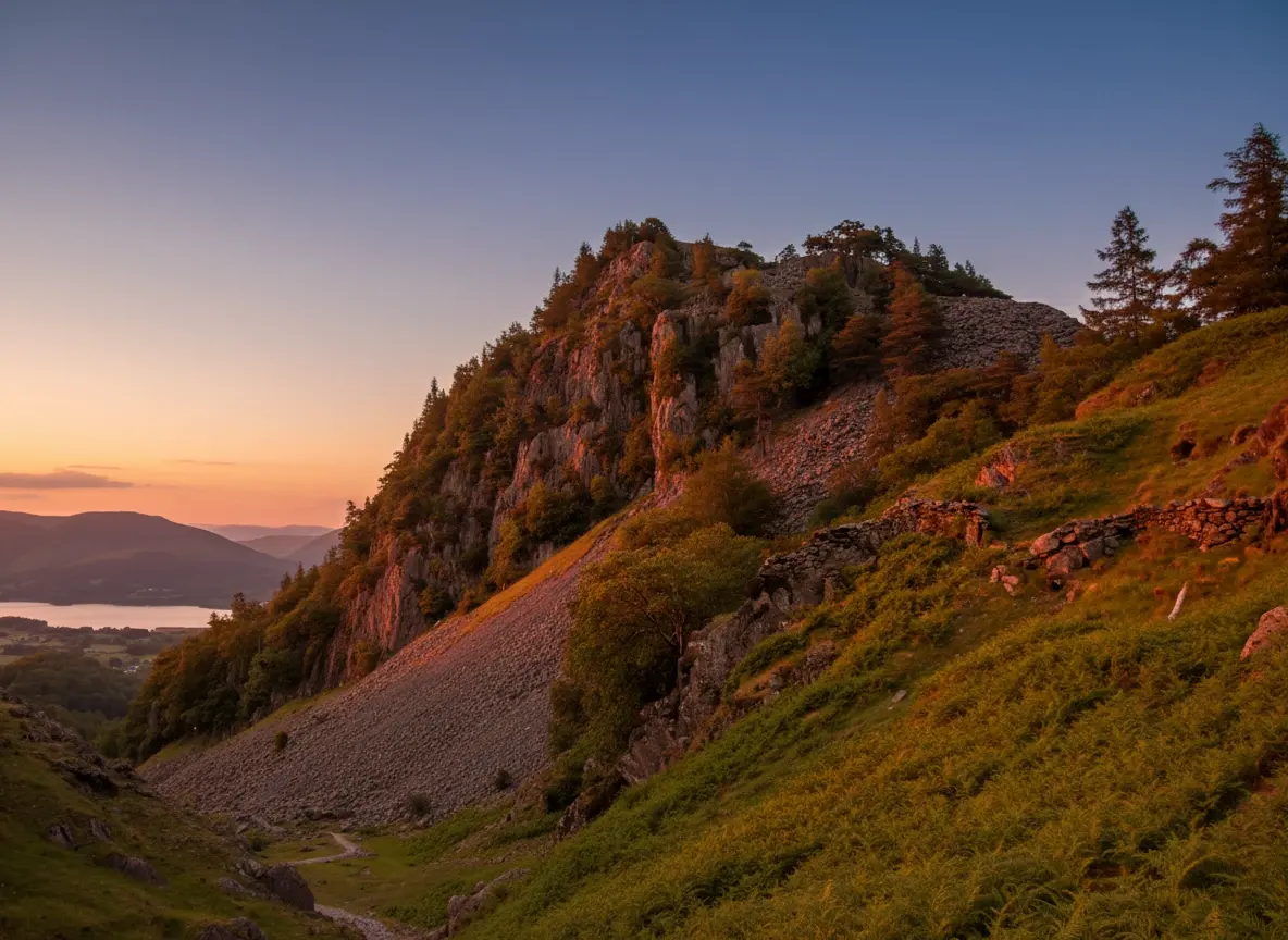
Castle Crag Walk — Borrowdale's Smallest Wainwright Guide
Wainwright · North Western Fells · 290m · The Smallest Wainwright
Wainwright · North Western Fells · 290m · The Smallest Wainwright
The Castle Crag walk in full — a short, steep circular from Rosthwaite to the smallest Wainwright, with Borrowdale views, slate quarries and a cave. Free GPX and tips.
Walk Description
The Castle Crag walk proves that the smallest of the 214 Wainwrights can deliver one of the biggest rewards in the Lake District. At just 290 metres — the only Wainwright under 1,000 feet — this rugged little rock peak rises from the wooded jaws of Borrowdale like a natural fortress, and its summit hands you a view down Derwentwater to Skiddaw that Alfred Wainwright rated among the very finest in the valley. This circular from Rosthwaite is a gem of a half-day: a gentle riverside approach beside the crystal River Derwent through the ancient oakwoods of the Borrowdale temperate rainforest, then a dramatic final climb up a zig-zag path carved through slate spoil heaps, past a cave once lived in by an eccentric 'Professor of Adventure'. The summit itself is a poignant place, given to the nation as a First World War memorial. Small in stature but huge in character, Castle Crag is the perfect low-level fell for a shorter day, for families with older children, or for a memorable finale to any Wainwright round.
Rosthwaite & the River Derwent
From the National Trust car park at Rosthwaite, walk through the pretty hamlet and take the lane and path west towards the river. Cross the River Derwent — here running clear and shallow over pale stones — and turn to follow its wooded bank upstream. This opening stretch is gentle and idyllic, winding through the mossy, lichen-draped oaks of the Borrowdale rainforest, one of England's rare fragments of temperate rainforest. There are pebble beaches and pools along the way, and the great bulk of Castle Crag looms ahead, its quarried flank unmistakable. Follow the clear path as it leads towards the foot of the fell near Low Hows Wood.
Into the Woods & Millican Dalton's Cave
The path leaves the river and begins to climb through woodland on the flank of the crag. As you gain height, look out on the western side for the caves of Millican Dalton — a set of old slate quarry chambers where, in the 1920s and 30s, this self-styled 'Professor of Adventure' spent his summers living wild. You can explore the two-tier cave and find the inscription he carved: 'Don't waste words, jump to conclusions.' It's an atmospheric and slightly eerie spot, and a genuine hidden gem of Borrowdale history. Take care on the loose ground near the workings before returning to the main path.
The Slate Ascent
Now comes the walk's dramatic finale. The path zig-zags steeply up through vast slate spoil heaps — the shattered grey debris of the quarrying that shaped this fell — on a surprisingly stiff climb for such a small hill. The loose slate can be slippery, especially when wet, so take it steadily and follow the engineered path rather than cutting corners. Near the top the route swings up onto the final rocky knoll. It's short-lived effort, but it earns its name: the summit rears up like a keep, and the last few metres feel genuinely mountainous despite the modest height.
The Summit (290m) & Its Memorial
Castle Crag's little summit is one of the most moving tops in the Lakes. It was gifted to the National Trust in 1920 as a memorial to the men of Borrowdale who fell in the First World War, and a plaque set into the rock records the dedication. Despite standing only 290 metres high, the all-round view is superb: north, the length of Derwentwater draws the eye to Keswick and the great whaleback of Skiddaw; south, the rugged fells crowd the head of Borrowdale. Wainwright thought it one of the finest viewpoints in the valley, and few who climb it disagree.
The Descent & Riverside Return
From the summit, descend carefully back down the zig-zag slate path — this is where the loose ground demands most care — and rejoin the woodland trail. Rather than simply retracing every step, you can follow the path down and around to complete a loop back towards the river and the hamlet of Rosthwaite. On the return, the several pebble beaches along the Derwent make an irresistible spot for a paddle or a very bracing wild swim on a warm day, before an easy final stroll back through the fields to the car park.
Route Essentials
- Parking: The National Trust car park at Rosthwaite (CA12 5XB) is the best and most direct start. It's a popular hub for Borrowdale walks, so arrive early. There's an overflow field in peak season, and the Borrowdale bus (78 from Keswick) is a great car-free alternative.
- Don't underestimate it: It may be the smallest Wainwright, but the final slate path is steep and slippery when wet. Sturdy boots with good grip are essential for the loose ground.
- Millican Dalton's cave: The caves are well worth exploring, but the ground around the quarry workings is loose and unfenced — keep children and dogs close and don't venture into unstable tunnels.
- The River Derwent: The riverside has lovely pebble beaches ideal for a picnic or a (very cold) dip. Never swim alone and be aware the river rises fast after heavy rain.
- Facilities: Rosthwaite has the Flock-In tearoom (Yew Tree Farm) and toilets; Grange-in-Borrowdale nearby has a café. Keswick, a short drive north, has full facilities.
- Combine it: Castle Crag pairs well with a stroll to Grange or an onward walk along the Derwent — a perfect low-level day when the high fells are in cloud.
- Safety Notice: The GPX file and route information on this page are for general guidance only. Always carry an OS map and compass, check the weather forecast, and tell someone your plans before setting out. You walk at your own risk.
Gallery
Route Map
Video Guide
What to Bring
- Sturdy boots with good grip (loose slate)
- Waterproof jacket and a warm layer
- Water and a picnic for the riverside or summit
- OS Explorer OL4 map
- Phone with the OS Maps app
- A torch to explore Millican Dalton's cave
- Camera for the Derwentwater panorama
- Towel and footwear for a river dip (optional)
- Dog lead for the farmland and quarry sections
- Sun protection on clear days
Best Time to Visit
Castle Crag is a superb all-year, all-weather walk and a brilliant choice when cloud sits on the higher fells — the summit is low enough to stay clear on many a dull day. Autumn is glorious, with the Borrowdale oakwoods turning gold and the light low over Derwentwater. Spring brings fresh green and quieter paths, while warm summer days tempt walkers into the river pools on the return. Even in winter it's a rewarding short outing, though the slate zig-zags can be icy — take extra care on the steep descent.
Local Weather (yr.no)

Forecast provided by yr.no
Safety Information
Important: The GPX file and route description on this page are for general guidance only and should not be relied upon as a sole means of navigation. GPX tracks are approximate and may not reflect current ground conditions, path diversions, or seasonal changes.
Always carry an Ordnance Survey map and a compass, and know how to use them. Check the weather forecast before setting out, tell someone your planned route and expected return time, and wear appropriate footwear and clothing for the conditions.
UKLakeDistrict.com accepts no responsibility for any loss, injury, or damage arising from the use of route information or GPX files provided on this site. You walk entirely at your own risk.
Route Essentials
Frequently Asked Questions
Where do you park for Castle Crag?
The best place to park is the National Trust car park at Rosthwaite (CA12 5XB) in the heart of Borrowdale, a short, direct start for the circular walk across the River Derwent. It's free for NT members and fills early on fine days. If it's full, there's limited parking at Grange-in-Borrowdale, or take the 78 Borrowdale bus from Keswick for a car-free day.
How long does it take to walk Castle Crag?
The circular walk from Rosthwaite takes most people 2.5 to 3.5 hours, covering around 5.8 km (3.6 miles) with 254 m of ascent. Although it's the smallest Wainwright, the steep slate climb near the top is slower going than the distance suggests. Allow extra time to explore Millican Dalton's cave and to linger by the river on the way back.
Why is Castle Crag the smallest Wainwright?
At just 290 metres (951 feet), Castle Crag is the only one of Alfred Wainwright's 214 fells that stands under 1,000 feet, making it the lowest on the list. Wainwright included it not for its height but for its outstanding character and its remarkable summit view down Derwentwater — proof that a great fell isn't measured in metres alone.
What is the cave on Castle Crag?
It's an old slate-quarry chamber known as Millican Dalton's cave, on the western flank of the fell. In the 1920s and 30s the eccentric Millican Dalton — a self-styled 'Professor of Adventure' who left London to live simply outdoors — spent his summers here, guiding visitors and camping in the cavern. You can explore the two-tier cave and find his carved inscription, making it one of Borrowdale's most characterful hidden gems.
Is Castle Crag suitable for children?
Yes, it's a great little adventure for families with reasonably steady older children, thanks to the short distance, the exciting cave and the river beaches. The one thing to watch is the steep, loose slate path near the summit and the unfenced ground around the quarry workings — hold younger children's hands on these sections and keep everyone on the main path.
What are the views like from the top of Castle Crag?
Superb, and far bigger than the 290-metre height suggests. The summit looks north down the whole length of Derwentwater to Keswick and the mighty Skiddaw, and south into the rugged heart of Borrowdale. Alfred Wainwright rated it one of the finest viewpoints in the valley, and its isolated, fortress-like position gives an uninterrupted panorama in every direction.
Is Castle Crag dog friendly?
Yes — it's a popular walk for dogs, with a lovely riverside section they'll enjoy. Keep your dog under close control or on a lead through the Rosthwaite farmland (livestock graze the fields) and near the loose ground around the quarry workings and cave. The steep slate path is manageable for most dogs; the river offers plenty of fresh water on a warm day.
Which map covers the Castle Crag walk?
The walk is covered by OS Explorer OL4 (The English Lakes — North Western area), which shows Borrowdale, Rosthwaite and Derwentwater in detail. You can also download the free GPX file from this page for your GPS device or phone app, and follow the interactive route map above. As always on the fells, carry the paper map and a compass as your primary navigation.
Related Walks
Scafell Pike Walk — Wasdale Route, Parking & Guide
The complete Scafell Pike walk guide from Wasdale Head — the shortest route to England's highest summit. Free GPX, parking, the Brown Tongue climb, timings and safety.
Read Guide →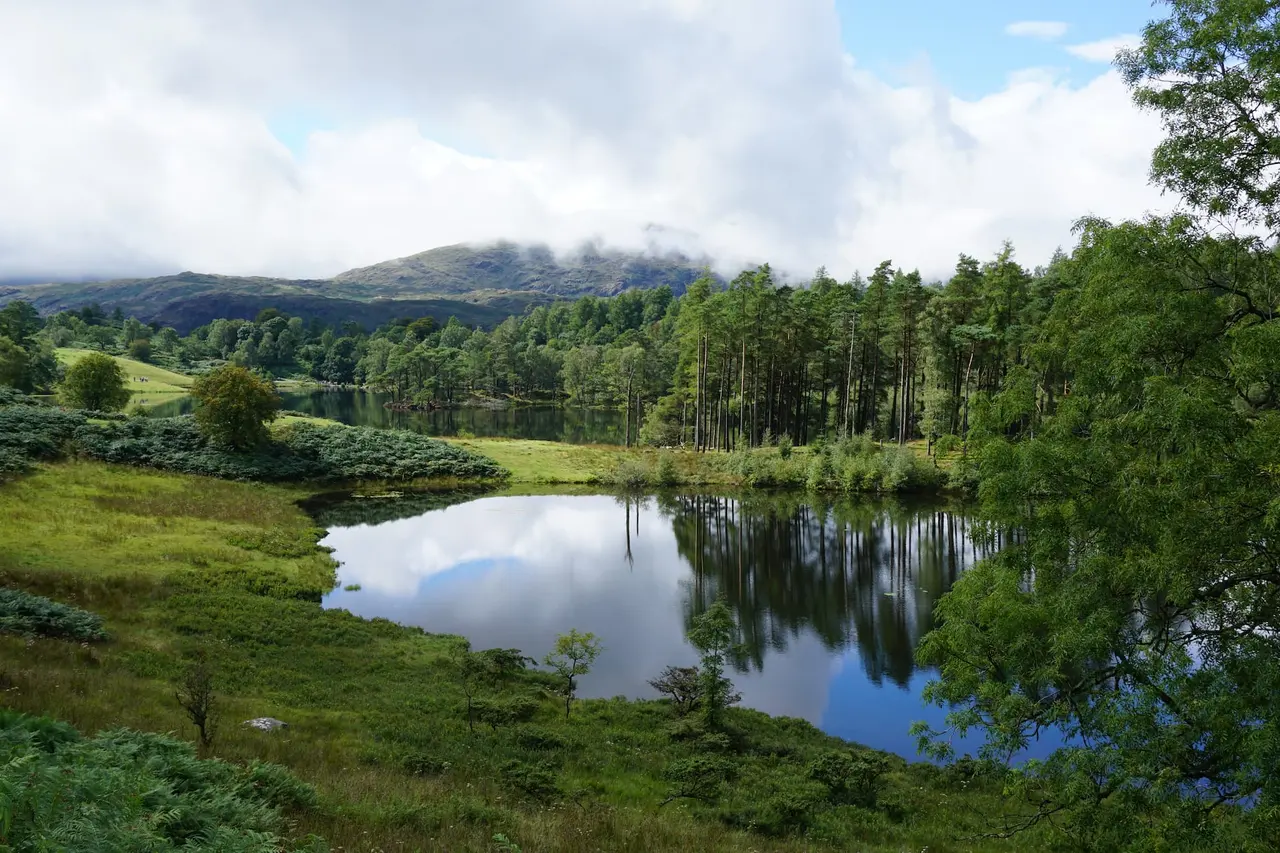
Black Crag Walk — Tarn Hows & Tom Gill Circular Guide
The Black Crag walk in full — a circular route linking Tom Gill waterfalls, Tarn Hows and a Wainwright summit above Coniston. Free GPX, parking, timings and tips.
Read Guide →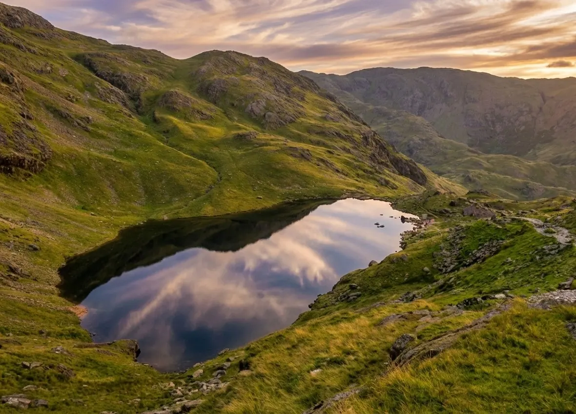
Old Man of Coniston Walk — Circular Route, Parking & Guide
The complete Old Man of Coniston walk guide — an 8.1km circular via Low Water, the summit and Goat's Water. Free GPX, parking, copper-mine history, timings and tips.
Read Guide →