 UKLakeDistrict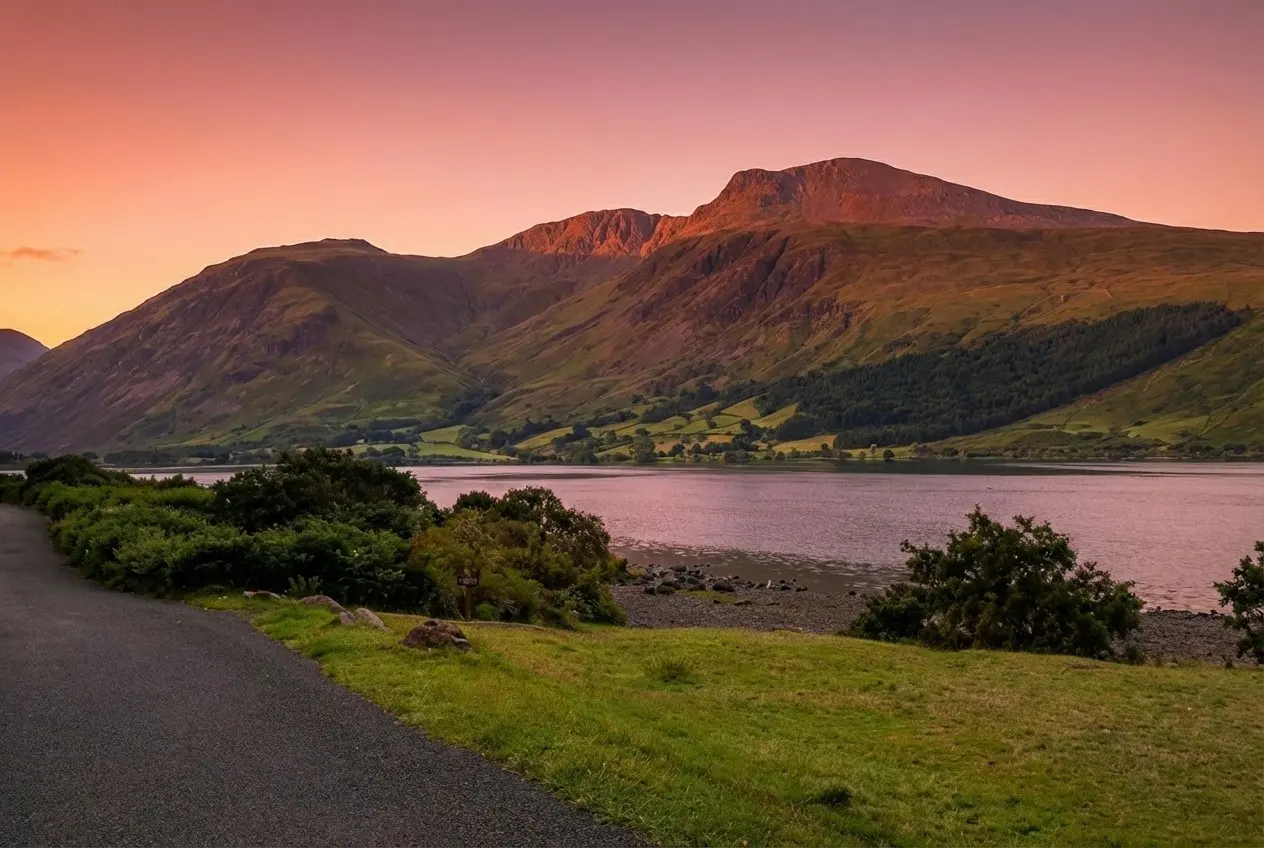
Scafell Pike Walk — Wasdale Route, Parking & Guide
Wainwright · Southern Fells · 978m · England's Highest
Wainwright · Southern Fells · 978m · England's Highest
The complete Scafell Pike walk guide from Wasdale Head — the shortest route to England's highest summit. Free GPX, parking, the Brown Tongue climb, timings and safety.
Walk Description
The Scafell Pike walk from Wasdale Head is the shortest and most direct route to the roof of England — the classic way to stand on the country's highest ground at 978 metres. Don't let 'shortest' fool you: this is a serious mountain day that climbs more than 900 metres in under four kilometres of ascent, a relentless, rocky pull often nicknamed the 'Stairway to Heaven'. It starts gently enough on the valley floor beneath the brooding face of Great Gable, crosses the beck at Wasdale Head, then rears up the stone staircase of Brown Tongue with England's deepest lake, Wastwater, shrinking behind you. Above the boulder-strewn bowl of Hollow Stones the path threads to Lingmell Col before the final scramble over shattered rock to the great summit cairn. On a clear day the reward is one of the finest panoramas in Britain — a 360-degree sweep that on the rarest days takes in Scotland, Ireland, the Isle of Man and Snowdonia. It is the ultimate Lakeland summit, the third of the National Three Peaks, and a genuine rite of passage for any hill walker.
Wasdale Head to Lingmell Beck
From the National Trust car park at Wasdale Head, follow the signed path east towards the fells, crossing the packhorse bridge over Lingmell Beck. The going is gentle here — a valuable warm-up along the valley floor with the sheer flank of Great Gable rising to your left and the whole Scafell massif filling the head of the dale ahead. Take a moment to look back at Wastwater, England's deepest lake, and the famous screes plunging into its far shore. Keep to the main path as it swings up alongside Lingmell Gill, cross the footbridge, and steel yourself: the valley walking is almost over and the real climb is about to begin.
The Climb up Brown Tongue
The gradient bites hard as you tackle Brown Tongue, the broad tongue of ground that carries the path up between Lingmell and the crags of Scafell. This is the workhorse of the walk — a long, well-built but punishing stone staircase that gains height fast. It is the primary 'leg-burner' of the day, and there is no way to rush it; settle into a steady rhythm and let Wastwater sink slowly beneath you. In wet weather the pitched stone can be greasy, so watch your footing. As the angle finally begins to ease you emerge into the vast, boulder-filled bowl of Hollow Stones, ringed by the dark, dripping cliffs of Scafell Crag and Pikes Crag.
Hollow Stones to Lingmell Col
Hollow Stones is a critical navigation point, especially in poor visibility. The path forks: the left branch climbs towards Mickledore (the knife-edge col between Scafell Pike and Scafell — not your route, and guarding the notorious Broad Stand), while the correct line for the Pike bears right and north-east, climbing to Lingmell Col. Under the towering crags this is a wild, atmospheric place, and when cloud drops onto the tops it can feel genuinely serious. Follow the cairned path carefully to the col, where the ground levels briefly and, on a clear day, the summit dome finally reveals itself away to your right.
The Final Boulders to the Summit
From Lingmell Col the path turns for the top, and the terrain becomes the roughest of the day — a jumble of loose scree and broken boulders with no soft ground anywhere. Follow the large cairns religiously; the summit plateau is a maze of grey rock where the path all but disappears and where people most often go astray in mist. Pick your way up steadily, using hands where needed, until the ground stops rising and the enormous summit platform opens out before you.
The Summit (978m) & The Descent
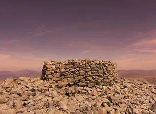
You are standing on the highest ground in England. The summit is crowned by a massive circular stone cairn and war-memorial platform, built up over the years by generations of walkers. On a clear day the view is staggering — Great Gable, the Scafell precipices, the Isle of Man low on the sea, and, on the rarest crystal days, the hills of Scotland, Ireland and Wales. Savour it, then retrace your outward route exactly: down to Lingmell Col, carefully back through Hollow Stones, and down Brown Tongue to the valley. The descent is hard on tired knees and the rock stays slippery when wet, so take your time — most accidents happen on the way down.
Route Essentials
- Parking: Use the National Trust car park at Wasdale Head (CA20 1EX), at the end of the long single-track road along Wastwater. It's pay-and-display (free for NT members) and fills extremely early — aim to arrive before 8:00am in summer, or you'll be parking a long way back down the valley. There is a second NT car park near the campsite.
- Getting there: Wasdale is remote — allow extra driving time on the narrow, gated lanes from Gosforth or Santon Bridge. There is no fuel and virtually no mobile signal in the valley, so arrive with a full tank and your route downloaded offline.
- Navigation is essential: Never rely on a phone alone. The summit plateau is a boulder field that becomes a featureless maze in cloud. Carry a physical OS map (Explorer OL6) and a compass, and know the compass bearings off the top before you set out.
- Layers & weather: The summit is routinely 8–10°C colder and far windier than the valley, and can hold snow into May. Pack a proper waterproof jacket and trousers, hat, gloves and a spare warm layer even on a sunny start, and check the Mountain Weather Information Service (MWIS) forecast.
- Fuel & water: There are no shops or safe water sources once you leave the valley. Carry at least 2 litres of water per person and plenty of high-energy food for the 900m climb.
- Three Peaks note: This is the standard route for the National Three Peaks Challenge, so summer Saturday nights and early mornings can be busy and torch-lit. For a quieter mountain, pick a weekday.
- Safety Notice: The GPX file and route information on this page are for general guidance only. Always carry an OS map and compass, check the weather forecast, and tell someone your plans before setting out. You walk at your own risk.
Gallery
Route Map
Video Guide
What to Bring
- Sturdy, waterproof walking boots with ankle support
- Waterproof jacket and over-trousers
- Warm mid-layer, hat and gloves (even in summer)
- OS Explorer OL6 map and a compass
- At least 2 litres of water per person
- High-energy food and emergency snacks
- Head torch with spare batteries
- Fully charged phone plus a power bank
- First-aid kit and an emergency shelter or survival bag
- Sun protection — hat, sun cream and sunglasses
- Whistle and a printed emergency plan
Best Time to Visit
Late spring to early autumn (May–September) offers the safest conditions and the best chance of the famous long-distance views, with long daylight hours giving you a comfortable margin. Summer weekends — especially during Three Peaks season — are extremely busy, so start at first light or choose a midweek day for a quieter summit. Winter turns Scafell Pike into a full mountaineering objective: snow, ice and short daylight demand an ice axe, crampons and the skills to use them. Whatever the season, pick a settled forecast — there is no view and real danger when the cloud is down.
Local Weather (yr.no)

Forecast provided by yr.no
Safety Information
Important: The GPX file and route description on this page are for general guidance only and should not be relied upon as a sole means of navigation. GPX tracks are approximate and may not reflect current ground conditions, path diversions, or seasonal changes.
Always carry an Ordnance Survey map and a compass, and know how to use them. Check the weather forecast before setting out, tell someone your planned route and expected return time, and wear appropriate footwear and clothing for the conditions.
UKLakeDistrict.com accepts no responsibility for any loss, injury, or damage arising from the use of route information or GPX files provided on this site. You walk entirely at your own risk.
Route Essentials
Frequently Asked Questions
How long does it take to walk Scafell Pike from Wasdale?
Most walkers complete the Wasdale Head round trip in 4.5 to 6 hours, covering about 7.9 km (4.9 miles) with a demanding 907 m of ascent. Fit, fast hillwalkers can do it in around four hours; take longer if you're stopping for photos, navigating in cloud, or walking with children. Always allow extra daylight as a safety margin — the rocky descent is slower than people expect.
Is Scafell Pike from Wasdale hard for beginners?
It is a challenging walk rather than a gentle one. There's no technical scrambling on the standard route, but it climbs more than 900 metres of relentless, rocky ground and demands good fitness and real navigation skills near the summit. Beginners in good shape do complete it regularly, but should go with an experienced companion or in settled weather, carry a map and compass, and never rely on a phone alone on the plateau.
Where do you park for the Wasdale route up Scafell Pike?
The best parking is the National Trust car park at Wasdale Head (CA20 1EX), at the far end of the Wastwater road. It's pay-and-display and free for National Trust members. In peak season it fills by early morning, so aim to arrive before 8:00am; there is a second NT car park near the National Trust campsite, and roadside verges further back fill quickly on busy days.
Which is the easiest route up Scafell Pike?
The Wasdale Head route described here is the shortest and the one with the least total ascent, which is why it's considered the 'easiest' — but it is still steep and rocky throughout. The alternatives from Borrowdale (via Seathwaite and the Corridor Route) and from Langdale (via Esk Hause) are longer and involve more navigation, though some walkers find their gradients kinder. For a first ascent in good weather, Wasdale is the usual choice.
Can you really see Scotland, Ireland and Wales from Scafell Pike?
On an exceptionally clear day, yes. From the 978 m summit the panorama can include the Galloway hills of Scotland, the Mountains of Mourne in Northern Ireland, Snowdonia in Wales and the Isle of Man — a rare view of four nations at once. These conditions are unusual, though, and most days offer superb Lakeland views without the full long-distance show. Clear, dry air after a cold front gives the best chance.
Is there a trig point on top of Scafell Pike?
No — Scafell Pike's summit is marked by a large circular stone cairn and war-memorial platform, not a triangulation pillar. The summit was given to the National Trust in 1919 as a memorial to the men of the Lake District who died in the First World War, and a bronze plaque records the gift. The raised platform is the true high point of England at 978 metres.
Do I need a map and compass, or is a phone enough?
You need a physical map and compass and the ability to use them. Scafell Pike's summit plateau is an open boulder field with no clear path, and it is frequently in cloud; phones lose signal, run out of battery in the cold, and are easily dropped. Carry the OS Explorer OL6 map, take your compass bearings off the summit before you climb, and treat any digital device as a backup, never your only navigation.
Are dogs allowed on Scafell Pike?
Yes, dogs are permitted on the fell, but this is a long, rocky mountain day that isn't suitable for every dog — sharp scree can cut paws and the descent is punishing. Keep your dog under close control or on a lead, particularly around the sheep grazing the lower valley and near the crags and drop-offs higher up. Carry extra water for them, and be honest about whether their fitness matches a 900-metre climb.
Related Walks
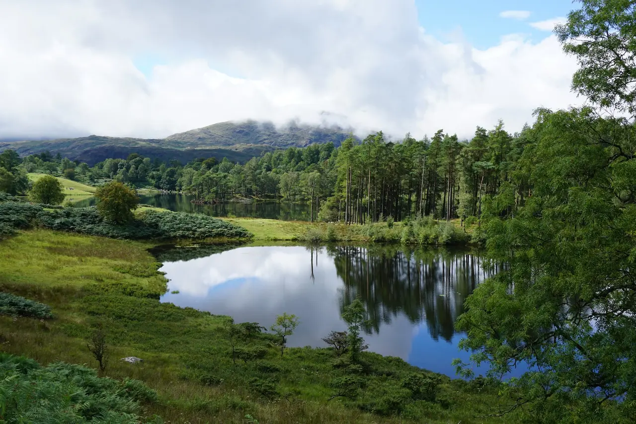
Black Crag Walk — Tarn Hows & Tom Gill Circular Guide
The Black Crag walk in full — a circular route linking Tom Gill waterfalls, Tarn Hows and a Wainwright summit above Coniston. Free GPX, parking, timings and tips.
Read Guide →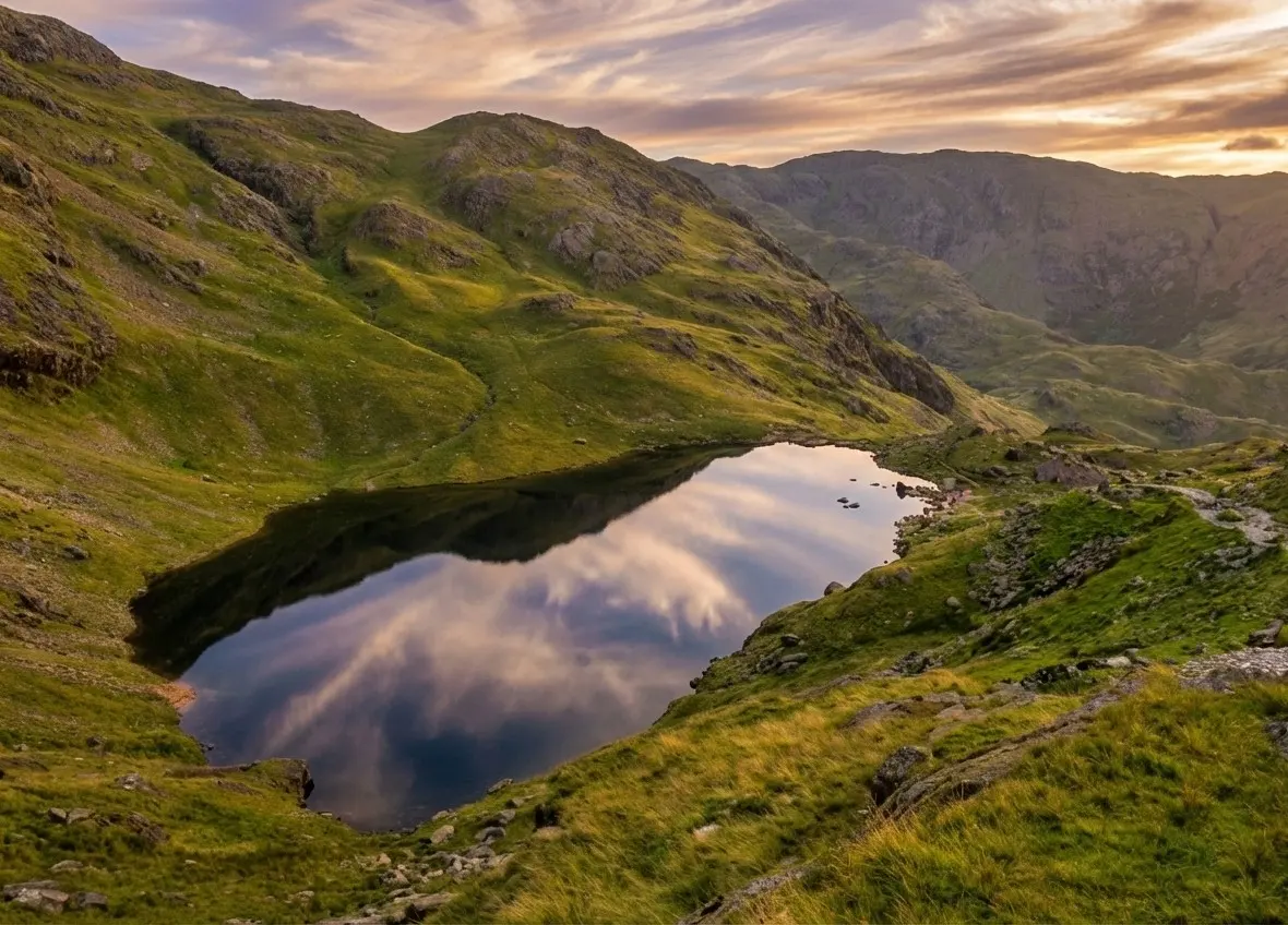
Old Man of Coniston Walk — Circular Route, Parking & Guide
The complete Old Man of Coniston walk guide — an 8.1km circular via Low Water, the summit and Goat's Water. Free GPX, parking, copper-mine history, timings and tips.
Read Guide →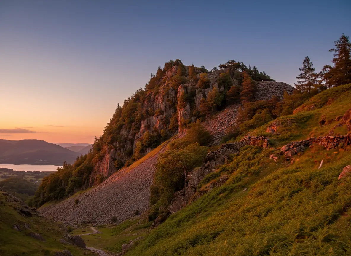
Castle Crag Walk — Borrowdale's Smallest Wainwright Guide
The Castle Crag walk in full — a short, steep circular from Rosthwaite to the smallest Wainwright, with Borrowdale views, slate quarries and a cave. Free GPX and tips.
Read Guide →