 UKLakeDistrict
Lake District Walks
Free route guides for every set of boots, with OS maps, GPX downloads and live mountain weather.
Explore by area
- Ambleside & GrasmereLakeland's walking capital, with Rydal Water, Grasmere and the Fairfield fells on the doorstep.2 walks
- LangdaleThe dramatic glacial valley beneath the Langdale Pikes, Bowfell and Crinkle Crags.1 walk
- Coniston & HawksheadThe Old Man, Tarn Hows and Grizedale Forest between Coniston Water and Windermere.4 walks
- South WindermereGentle fells and big lake views around Newby Bridge and the foot of Windermere.1 walk
- Keswick & BorrowdaleDerwentwater and the wooded jaws of Borrowdale, England's temperate rainforest.1 walk
- ButtermereButtermere, Crummock Water and the High Stile ridge in the quiet north-west.1 walk
- UllswaterAira Force, the lake steamers and the eastern fells around Glenridding and Pooley Bridge.1 walk
- Wasdale & EskdaleThe wild western valleys: Scafell Pike, Wastwater and the La'al Ratty railway.2 walks
- Ulverston & FurnessThe southern gateway to the Lakes, with Morecambe Bay views and market-town walks.1 walk
Loading the map of every walk…
Every walk on the site, coloured by grade. Tap a marker for the guide, or use the Walk Finder map to filter.
Featured walks

Rydal Caves
An easy circular walk from White Moss through woodland and along Rydal Water to a vast slate cavern with stepping stones. Free GPX, parking and tips.
Read guide: Rydal Caves →
High Sweden Bridge
High Sweden Bridge circular walk from Ambleside: a 4.8 km route map up Scandale to the old packhorse bridge, with parking, timings, free GPX and lake views.
Read guide: High Sweden Bridge →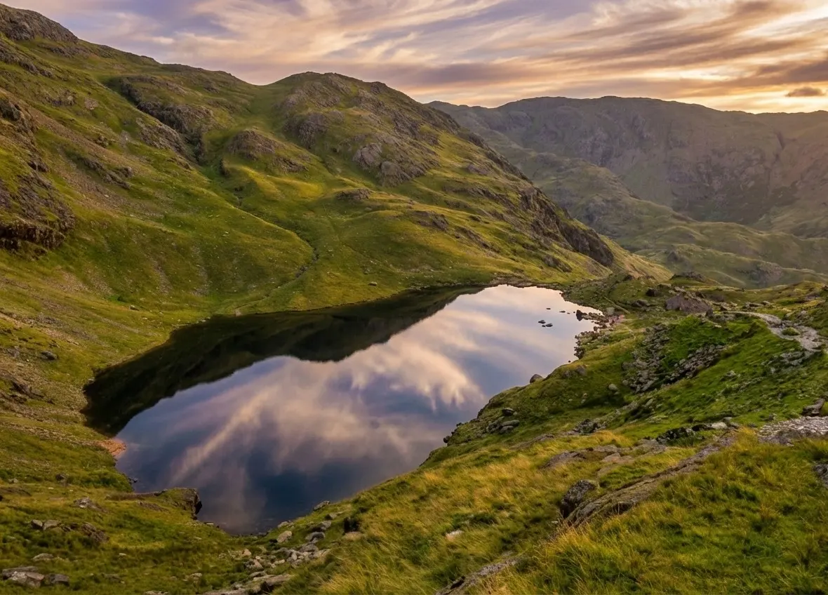
Old Man of Coniston
Old Man of Coniston circular walk: 8.1 km and 3.5–5 hours via Low Water and Goat's Water, with route map, free GPX, car park, difficulty and summit facts.
Read guide: Old Man of Coniston →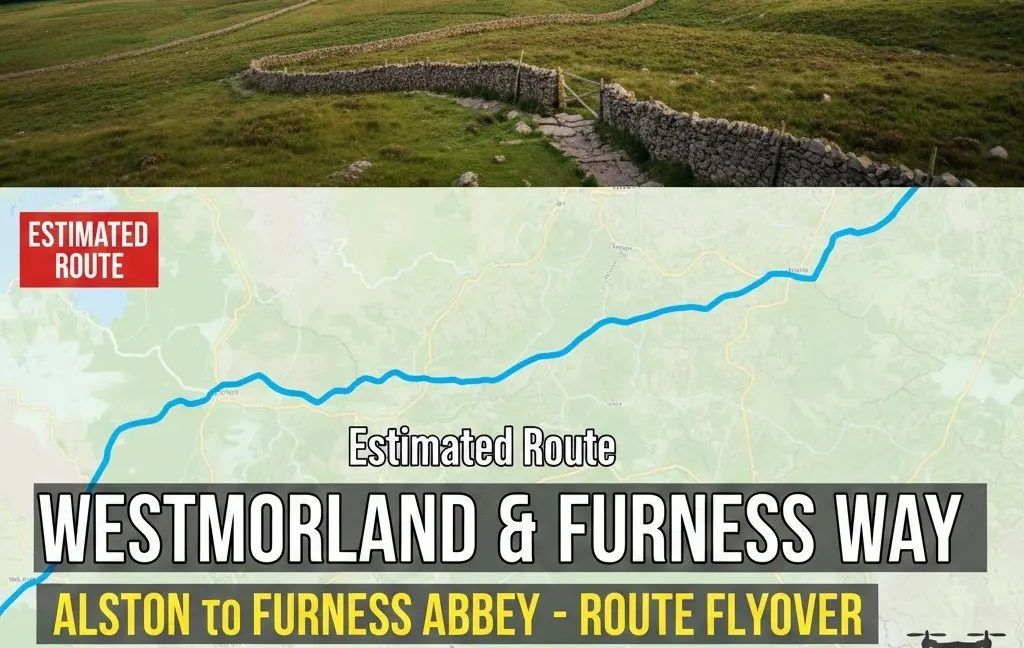
Westmorland & Furness Way
Route map of the 120-mile Westmorland & Furness Way from Alston to Furness Abbey: all six official sections, distances, where to stay and a free GPX.
Read guide: Westmorland & Furness Way →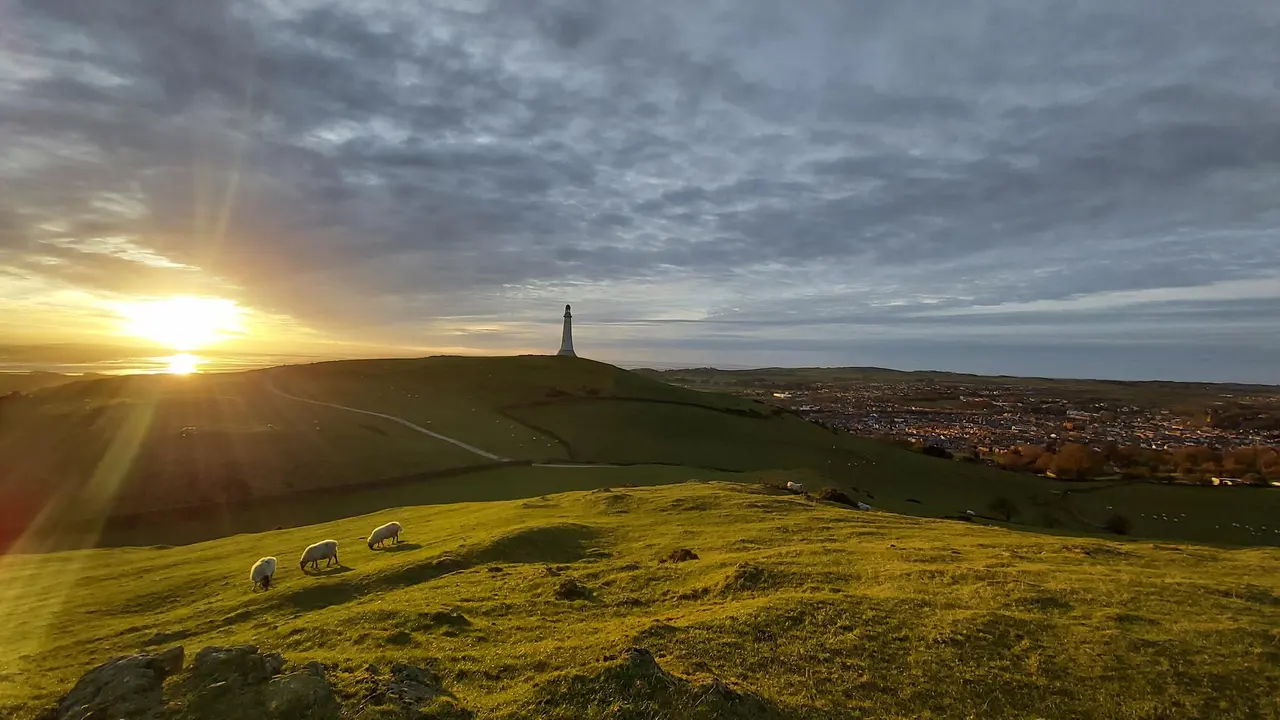
Hoad Hill
Hoad Hill walk from Ulverston town centre to the Sir John Barrow Monument, the 'lighthouse' on the Hoad: route map, parking, free GPX and Morecambe Bay views.
Read guide: Hoad Hill →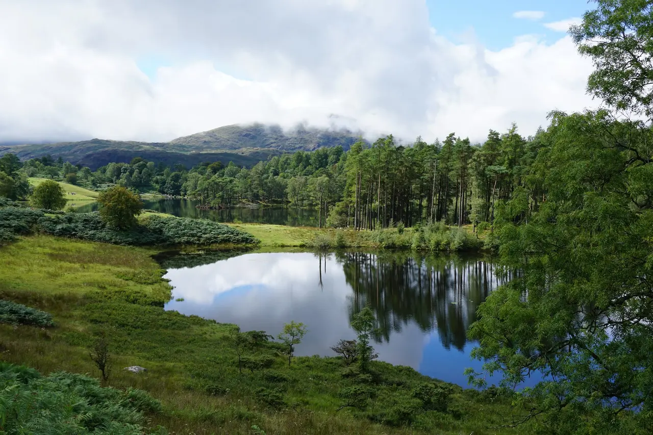
Black Crag & Tarn Hows
A circular walk linking the Tom Gill waterfalls, Tarn Hows and the Wainwright summit of Black Crag above Coniston. Free GPX, parking and timings.
Read guide: Black Crag & Tarn Hows →Walks by type
Plan your walk
Walking in the Lake District: Where to Start
The Lake District is England's largest national park and a UNESCO World Heritage Site — around 900 square miles of mountains, lakes, tarns, waterfalls and valleys in the north-west corner of Cumbria. It holds every one of England's summits over 3,000 feet, including the highest of all, Scafell Pike, as well as England's largest natural lake, Windermere, and its deepest, Wastwater. Whether you want a gentle lakeshore stroll or a full day on the high fells, there's a walk here for every set of boots.
UK Lake District brings together free, detailed walking guides to help you choose the right route and walk it with confidence. Every guide includes an interactive Ordnance Survey route map, a free GPX download, distance and ascent taken from the recorded route, a live three-day mountain weather forecast, parking details and honest notes on terrain and safety.
Choose your kind of walk
- Wainwright walks — the 214 fells described by Alfred Wainwright in his Pictorial Guides. Start low with Castle Crag, the smallest Wainwright, or Black Crag above Tarn Hows, then work up to the Old Man of Coniston and the roof of England on Scafell Pike.
- Waterfall walks — from the Lake District's tallest fall at Scale Force to Ullswater's much-loved Aira Force and the dramatic gorge of Stanley Ghyll Force. They're at their thundering best after rain.
- Family-friendly walks — short routes with big rewards, like the Windermere panorama from Gummer's How and the giant slate cavern on the Rydal Caves walk.
- Town walks — leg-stretchers straight from the high street, such as High Sweden Bridge from Ambleside and Hoad Hill in Ulverston.
- Long-distance walks — multi-day adventures like the Westmorland & Furness Way, the new 120-mile waymarked trail across Cumbria from Alston in the North Pennines to Furness Abbey, opened in September 2026.
You can also browse every route on one page in our complete list of Lake District walks.
Planning a walk in the Lake District
Check the mountain weather. Conditions on the fells can be very different from the valley, and they change fast. Each of our guides includes a live forecast for the walk, and it's worth checking a specialist mountain forecast before any high-level route.
Carry a map and compass. Our GPX files and interactive maps are superb planning tools, but phone batteries fail and signal is patchy in many valleys. The four OS Explorer OL maps — OL4, OL5, OL6 and OL7 — cover the whole National Park, and every guide tells you which sheet you need.
Arrive early or leave the car behind. Popular car parks fill by mid-morning in summer. Many of our routes can be reached by bus, boat or train — including the Borrowdale, Langdale and Coniston "Rambler" buses and the lake steamers on Windermere and Ullswater — and each guide includes transport tips where they're available.
Know your limits. Our difficulty ratings are honest, and our route descriptions highlight the steep, rough or exposed sections so you can choose a walk that suits your group and the day's conditions. If the weather turns, the fells will still be there another day.
Why trust our guides?
Our guides are researched and written by hillwalkers who know the Lake District first-hand. Route statistics come from the recorded GPX track rather than guesswork, and we update our guides as paths, parking and facilities change. Read more about UK Lake District, or get in touch if you spot something that needs updating.