 UKLakeDistrict
Scale Force Walk — Buttermere's Tallest Waterfall Trail
Waterfall Walk · Buttermere · Crummock Water
Waterfall Walk · Buttermere · Crummock Water
Walk to Scale Force, the Lake District's tallest waterfall. Our Buttermere circular guide covers the full route with free GPX download and parking info.
Walk Description
The Scale Force walk leads you to the tallest waterfall in the Lake District — a slender ribbon of white water that plunges some 52 metres (170 feet) through a dark, dripping ravine on the northern flank of Red Pike, hidden between the fell and the rounded top of Starling Dodd. It is a walk of two moods. The first half is all serenity: an easy lakeshore ramble along Buttermere and the shingle beach where its waters spill into Crummock Water, with the great whaleback of Mellbreak rising across the lake and Sourmilk Gill tumbling down the opposite slopes. Then the mood shifts. As the path leaves the bridleway and climbs over rough, boggy ground towards Scale Beck, the valley narrows and the walking turns wilder, until the beck disappears into a gloomy cleft in the crags. From a distance the falls look almost modest — a pale thread against dark rock — but step into the ravine and crane your neck, and the sheer 38-metre main drop and the roar of falling water are unforgettable. This circular route threads together two of the valley's finest lakes, crosses half a dozen becks, and delivers one of Lakeland's most dramatic natural spectacles for the price of a moderate half-day on foot.
Along the Buttermere Lakeshore
Leave the Buttermere village car park and turn right along the road, then almost at once branch right again onto the farm lane signed for the lakeshore path. Two gates in quick succession take you clear of the village buildings, and soon the still waters of Buttermere open out below on your left. Look across the lake to the dark, wooded slopes of Red Pike, where Sourmilk Gill comes crashing down — a torrent that drops more than 350 metres in less than a kilometre. Beyond another large gate (slip through the smaller one beside it), a short flight of steps leads the path to swing left, thread through a stand of trees, and settle down closer to the water's edge. This whole opening stretch is gentle, well-made and utterly peaceful, the perfect calm before the drama to come — a ring of high fells enclosing the valley on every side.
The Shingle Beach & Crummock Water
Where a kissing-gate invites you straight on, ignore it and instead turn right, dropping to a gate that gives onto a permitted path along the shingle beach. This is the low, pebbly neck of land where Buttermere quietly empties into its larger neighbour, Crummock Water — two lakes all but touching, divided only by a strip of stones and the shallow, glass-clear channel of Buttermere Dubs. Turn right along the shore, stones shifting underfoot, with the long fellside of Mellbreak filling the view to the north. After the next gate, ignore a path branching off to the right and keep to the lakeside, savouring one of the finest low-level outlooks in the western fells before the route begins its turn towards the hills.
Sourmilk Gill & the Sessile Oaks
Just before a footbridge, swing right through a kissing-gate close to Sourmilk Gill, then turn right again, away from the bridge, onto a stony path that hugs a steep, wooded slope. You are now walking through a fragment of sessile oak woodland — the native upland oak, its acorns held tight to the twig without stalks, thriving in these wet, western valleys. These trees can stand for centuries, though here in the exposed Lakeland air they grow small, gnarled and beautifully twisted. About 600 metres along, note the stone humpback bridge down to your right: leave it for now, but fix it in mind, as it marks your return. Cross a first wooden footbridge over Near Ruddy Beck, then a second over Far Ruddy Beck, and the walking still feels easy and green.
The Boggy Climb to Scale Beck
Here the character of the walk changes for good. Part company with the bridleway and turn left to head upstream; a few metres on, a reasonably clear path peels off to the right and starts to gain height. The reward is immediate — wide views back over Crummock Water and across to Mellbreak — but the going grows rougher. The path fades as it crosses a flat, boggy shelf where the ground stays wet even in high summer, so pick your line with care. Beyond it the route swings left, climbs onto firmer ground, and, bar one last squelchy patch, a good path now carries you all the way to the waterfall. This is the most demanding section of the day, and waterproof boots earn their keep.
Scale Force — the Main Event
Through a kissing-gate, keep right at a fork and drop towards the bridge over Scale Beck. Just before it, a trail on the left slips into the deepening ravine — take it. The rock walls close in, the light dims, the noise builds, and there ahead is Scale Force: the Lake District's tallest waterfall, an elegant column of white water with a main, unbroken drop of about 38 metres (125 feet) and a total height, counting the cascades above and below, of some 52 metres (170 feet). The path leads right to the foot of the fall, where you must tip your head back to take in its full, dizzying height. Come after a spell of heavy rain and it thunders; arrive in a dry summer and it can dwindle to a thin trickle, so time your visit for when the beck runs full.
The Return via Black Beck
To carry on, cross the Scale Beck bridge, climb out of the gully and turn right through a small gate. A clear path descends beside the beck to a footbridge over Black Beck; over it, bear right along a narrow beckside path, keeping to the right of a broken-down fence and picking your way over some damp ground as you head downstream. Cross the next bridge over Black Beck and aim for the gap in the wall diagonally opposite to your left. Through the gate, a path leads to a further bridge, after which the way turns vague — swing half-left and a faint, grassy trail materialises, heading roughly towards Crummock Water. It can be boggy, but it eventually feeds onto a firmer, stony path and back to the bridge where you first left the bridleway. Swing half-right, briefly retrace your outward steps, and cross a second wooden footbridge soon after.
Buttermere Dubs & Back to the Village
Watch now for the stone humpback bridge over Buttermere Dubs that you clocked on the way out, and turn left to cross it. The track curves right, then left, and runs on to meet a wider track, where you turn left; this swings right and carries you back into Buttermere, with the car park entrance just past the Fish Inn on your left. It is a fitting place to finish — the village offers three well-earned rewards within a stone's throw: the Croft House Café for cake and coffee, the Bridge Hotel for a bar meal, and the historic Fish Inn for a traditional pint at the end of a proper Lakeland day.
Route Essentials
- Parking: Start from the Lake District National Park pay-and-display car park behind the Bridge Hotel in Buttermere village (grid ref NY 174 169, postcode CA13 9UZ). Buttermere is a popular and congested valley, so arrive early in peak season and on bank holidays. There is a second National Trust car park a little further along the lake, and limited roadside parking, but both fill quickly.
- Terrain: Good, well-made paths carry you along the lakeshore, but conditions deteriorate sharply on the approach to Scale Force. Expect boggy ground, rough and pathless sections, and some steep, uneven going near the ravine, with around 159 m of ascent overall. Waterproof boots are essential year-round, and the climb from the bridleway to the falls is the toughest part of the walk.
- The waterfall: Scale Force is at its most spectacular after several days of heavy rain, when Scale Beck is in full spate. In dry summer spells it can shrink to a modest trickle, so check recent weather before you set out. The ravine is deeply shaded and can feel cold even in July — a spare warm layer is worth carrying.
- The sessile oaks: The woodland between Sourmilk Gill and Far Ruddy Beck is native sessile oak — the upland oak whose acorns sit directly on the twig, without stalks. Characteristic of wet, high-rainfall country, these trees can live for centuries but here grow small, twisted and characterful, quite unlike their towering lowland cousins.
- After the walk: Buttermere village has three excellent options a short stroll from the car park — the Croft House Café for light lunches and cakes, the Bridge Hotel for bar meals, and the traditional Fish Inn. Opening hours vary by season, so it's worth checking before you rely on a post-walk pint.
- Safety Notice: The GPX file and route information on this page are for general guidance only. Always carry an OS map and compass, check the weather forecast, and tell someone your plans before setting out. You walk at your own risk.
Fancy chasing more Lakeland cascades? Scale Force is one of several waterfall walks in our collection. For a spectacular gorge and a woodland approach, try the Stanley Ghyll Force walk in Eskdale; for a hidden gem tucked into the high fells above Great Langdale, see the Whorneyside Force walk; and for an easy family outing among forest sculptures, there's the Force Falls walk in Grizedale Forest. You'll find every route in one place on our Lake District waterfalls hub.
Gallery
Route Map
What to Bring
- Waterproof walking boots (essential — boggy approach)
- Waterproof jacket
- Waterproof trousers
- Spare warm layer (the ravine is cold and shaded)
- Water bottle
- Snacks or a packed lunch
- OS Explorer OL4 (The English Lakes — North-western area)
- Phone with the OS Maps app
- Camera (for the falls, lakes and Mellbreak)
- Dog lead (livestock and lakeside paths)
Best Time to Visit
Scale Force is a creature of the weather: it is at its magnificent best after prolonged rainfall, when Scale Beck runs heavy and the fall thunders down its ravine, and it can thin to a disappointing dribble during a dry summer spell — so always check recent conditions before setting out. Autumn is arguably the sweet spot, bringing colour to the sessile oaks and reliable water levels, while spring pairs fresh growth with snow-fed becks. Winter visits can be genuinely dramatic, but the boggy sections on the approach become especially heavy going and the short days leave little margin, so choose a settled day and start early.
Local Weather (yr.no)

Forecast provided by yr.no
Safety Information
Important: The GPX file and route description on this page are for general guidance only and should not be relied upon as a sole means of navigation. GPX tracks are approximate and may not reflect current ground conditions, path diversions, or seasonal changes.
Always carry an Ordnance Survey map and a compass, and know how to use them. Check the weather forecast before setting out, tell someone your planned route and expected return time, and wear appropriate footwear and clothing for the conditions.
UKLakeDistrict.com accepts no responsibility for any loss, injury, or damage arising from the use of route information or GPX files provided on this site. You walk entirely at your own risk.
Route Essentials
Frequently Asked Questions
How tall is Scale Force waterfall in the Lake District?
Scale Force is the tallest waterfall in the Lake District, with a total drop of approximately 52 metres (170 feet). This comprises a single main fall of about 38 metres (125 feet) — a slender, unbroken ribbon of white water — plus smaller cascades above and below. It plunges through a dark, narrow ravine on the northern flank of Red Pike, near Buttermere.
Where do you park for the Scale Force walk from Buttermere?
The best place to park is the Lake District National Park pay-and-display car park behind the Bridge Hotel in Buttermere village (grid ref NY 174 169, postcode CA13 9UZ), which sits right at the start and finish of this circular route. There is a second National Trust car park a little further along the lake and some limited roadside parking, but Buttermere is a busy valley — arrive early in summer and at weekends to be sure of a space.
How long does the Scale Force walk take?
Allow around 3 to 3.5 hours for the full circular walk. It measures roughly 7.4 km (4.6 miles) with about 159 m of ascent according to our GPX track, at a relaxed pace with time to reach the base of the falls. The lakeshore sections are quick and easy, but the boggy, rough ground on the approach to Scale Force slows the going, so don't rush it.
Is the Scale Force walk suitable for children?
Older children who are used to walking will enjoy it, especially the drama of the waterfall ravine at the far end. However, the approach to Scale Force is boggy, rough and pathless in places, with a short scramble into the ravine for the best view, and there is no barrier at the foot of the falls — so it needs supervision and is not suitable for pushchairs. The gentle lakeshore section alone makes a lovely, easy family stroll if you prefer to turn back before the climb.
Can you see Scale Force waterfall without doing the full walk?
Scale Force is genuinely tucked away, so there is no roadside viewpoint — you have to walk in to see it. The shortest approach still follows the lakeshore and the rough climb to the ravine, so the falls always involve a proper walk of a couple of hours there and back. The full circular route via Black Beck described here is the most rewarding way to do it, taking in both Buttermere and Crummock Water.
What is the best time of year to visit Scale Force?
Visit after a spell of heavy rain, when Scale Beck is in full spate and the fall is at its thundering best — the wetter months of autumn, winter and early spring often show it at its finest. Autumn is a particular favourite, adding colour to the sessile oaks alongside reliable water levels. Avoid long dry summer spells, when the waterfall can reduce to a thin trickle and disappoint.
Are dogs allowed on the Scale Force walk?
Yes — dogs are welcome, but they should be kept on a lead. There is livestock in the fields and along the lakeshore paths, several gates and kissing-gates to negotiate, and rough, boggy ground near the falls. Keeping your dog on a lead protects farm animals and wildlife and keeps you on good terms with the landowners whose ground the route crosses.
Is Scale Force really the tallest waterfall in the Lake District?
Yes. At around 52 metres (170 feet) total, Scale Force is the highest waterfall within the Lake District National Park. One point of confusion is worth clearing up: Cautley Spout, in the Howgill Fells, is often called England's highest waterfall at around 180 metres — but the Howgills lie outside the Lake District proper, so Scale Force keeps its crown as the tallest fall in the Lakes themselves.
Related Walks
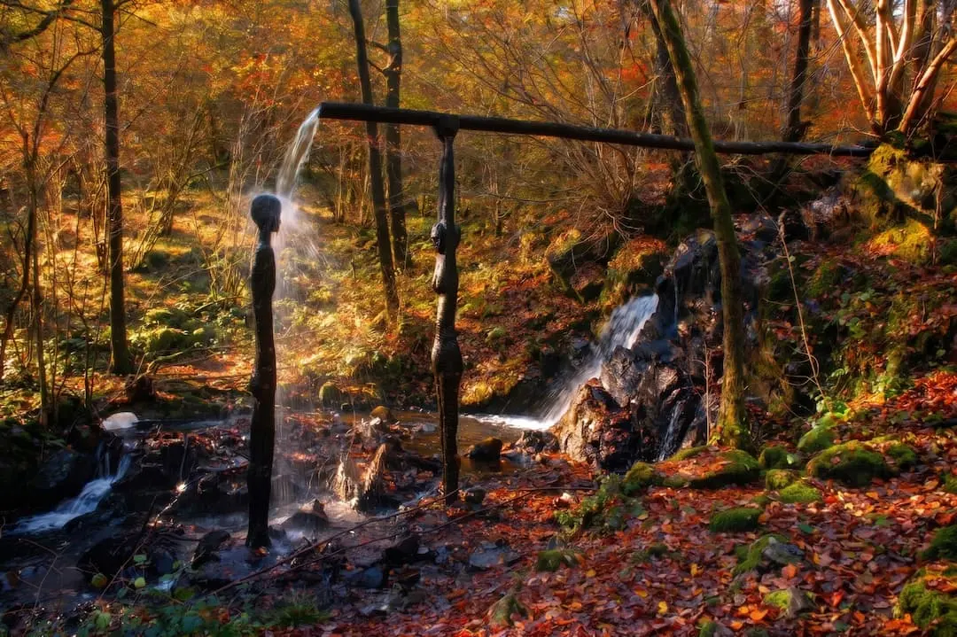
Force Falls Walk — Grizedale Forest Waterfall & Sculpture Trail
Walk to Force Falls in Grizedale Forest — a circular route through woodland, sculptures and Satterthwaite village to a hidden waterfall. Free GPX, parking and tips.
Read Guide →
Stanley Ghyll Force Walk — Eskdale Waterfall & Gorge Guide
The Stanley Ghyll Force walk from Dalegarth Station — through a rhododendron gorge to a 60ft waterfall and its cantilevered viewing platform. Free GPX, parking and tips.
Read Guide →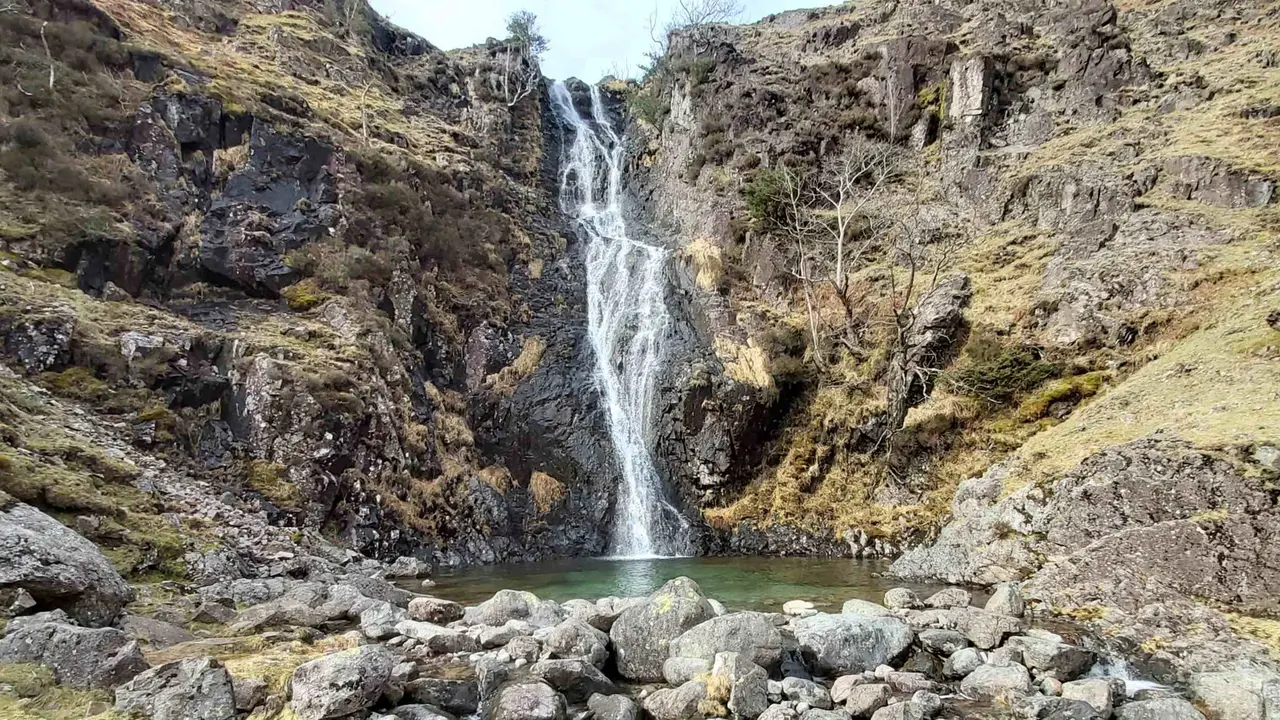
Whorneyside Force Walk — Hidden Langdale Waterfall Guide
The Whorneyside Force walk from Old Dungeon Ghyll — a quiet route up Oxendale to a hidden Langdale waterfall, ending at a legendary hikers' pub. Free GPX and tips.
Read Guide →