 UKLakeDistrict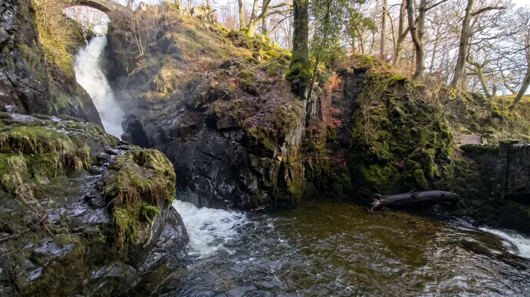
Aira Force Walk — Waterfall Trail & Full Gowbarrow Circular
Waterfall Walk · Ullswater · Gowbarrow Park
Waterfall Walk · Ullswater · Gowbarrow Park
Discover the 65ft Aira Force waterfall and the full Gowbarrow Park circular walk, with interactive OS maps, free GPX downloads and parking info.
Walk Description
The Aira Force walk is one of the most rewarding short adventures on Ullswater's shores — a route that lets you choose your own adventure, from a gentle half-hour stroll to the region's best-loved waterfall, to a fuller half-day circuit over open fell with some of the finest lake views in Cumbria. Aira Beck tumbles around 20 metres through a shaded, rock-walled ravine before spilling toward Ullswater, and the path to it winds beneath towering conifers planted by the Howard family of Greystoke almost two centuries ago — among them a Douglas fir said to be the tallest tree in the county. Cross the high stone footbridges for a bird's-eye view straight down into the falls, or drop to the lower platform and feel the spray on your face.
For those with more time and energy, the trail continues up through Gowbarrow Park's open parkland and onto the fell itself, climbing steadily to a trig point and a viewpoint that opens out across the whole of Ullswater to the dark ridge of the Helvellyn range beyond — regularly rated one of the finest panoramas in the Lake District. This is also the wooded shoreline said to have inspired William Wordsworth's most famous poem, and the setting for one of Lakeland's more haunting local legends. Whichever route you choose, download the GPX, check the weather, and give yourself time to linger.
Through the Arboretum
From the far end of the car park, pass through the stone gateway into the grounds and follow the path through a couple of gates, crossing a small footbridge over a tiny side-beck. You're now walking beneath the Howard family's 1846 plantings: look out for a huge Douglas fir said to be the tallest tree in Cumbria, a pair of towering sitka spruces on the beck's eastern bank with trunks over six metres round, some ancient yews, and a distinctive Chilean pine, or “monkey puzzle” tree. Bear left away from the iron railings and climb gently to a bench — a good spot to pause before the falls come into view.
Down to Aira Force
Cross the bridge at the foot of the falls and turn left, climbing a second, steeper stone stairway to rejoin the path arriving from the right. Before continuing, take the short detour left down a steep flight of steps to the lower platform, right at the base of Aira Force — close enough to feel the spray on your face and to appreciate just how far the water drops through the rock-walled ravine above you.
Onto Gowbarrow Fell
Just before the next gate, take the small wooden gate beside it and bear right onto a fainter path that starts climbing in earnest, with a wall on your left. Cross a ladder stile and settle in for a steady, roughly 700-metre pull uphill — the steepest section of the whole walk — before the gradient finally eases and the path swings away from the wall, heading for the Ordnance Survey trig point on Gowbarrow Fell's summit.
The Fell Top
From the summit, drop down initially to the north-east, then pick up a clear path curving round the remains of an old shooting hut on the fell's eastern flank. Look back from up here and Ullswater opens out below you — one of the best viewpoints anywhere along this stretch of the lake.
The Ullswater Panorama
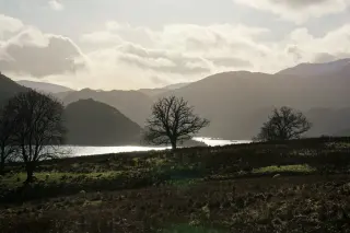
Bear right and follow the path for around a kilometre around the shoulder of a crag. Rounding it delivers the walk's real high point (in every sense): a sweeping panorama across Ullswater to the dark, craggy Helvellyn range beyond. There's a bench nearby, conveniently placed for anyone who wants to sit and take it in rather than just snap a photo and move on.
Lyulph's Tower and the Return
The path continues along the level for a while before dropping gently to a fence, where you'll spot Lyulph's Tower in the fields below — despite its castle-like appearance it was actually built as a Georgian hunting lodge in 1780, not a medieval stronghold. Go through the gate, bear left at the next junction, and descend through the woods to cross the bridge back over Aira Beck. A final climb up some stone steps and through a gap in the railings brings you back into the car park.
Route Essentials
- Parking: The main National Trust car park (CA11 0JS) charges £7 for 2 hours, £8.50 for 4 hours, and £10 for the day (£6/£8/£9.50 at the smaller Glencoyne Bay, Park Brow and High Cascades car parks) — pay by card, cash or the JustPark app. National Trust members park free by scanning their membership card at the machine. Prices correct as of September 2026 — check the National Trust website for current rates.
- Terrain and accessibility: The path through the Glade to the falls is well-surfaced, but beyond it the main route has steep drops and several flights of stone steps, and it isn't suitable for pushchairs or wheelchairs — a baby carrier works far better than a buggy. Once you're up on the open fell the ground can be muddy and partly hidden by bracken, so proper boots matter.
- Toilets and refreshments: There's a toilet block (with accessible facilities and baby-changing) right by the main car park, open 24 hours. The National Trust tea-room next to it serves hot and cold drinks and light bites, indoors or out — opening hours vary seasonally, so it's worth checking before you go if you're relying on it.
- Dogs: Welcome throughout, including in the tea-room, but keep them on a lead — Gowbarrow Park is grazed by livestock and has ground-nesting birds, and there are some genuinely steep drops near the falls.
- Wildlife: The mix of conifer and broadleaf woodland is good red squirrel habitat — early morning or late afternoon gives you the best chance of a sighting.
- Wild swimming: The pools upstream near High Force and the High Cascades car park are known locally as a wild swimming spot, but this isn't an official National Trust amenity. Only swim in calm, settled conditions — avoid it entirely after heavy rain, when the beck runs fast and cold-water shock and slippery rock become real risks.
- Safety Notice: The GPX file and route information on this page are for general guidance only. Always carry an OS map and compass, check the weather forecast, and tell someone your plans before setting out. You walk at your own risk.
Enjoyed chasing the water at Aira Force? It's one of several waterfall walks in our collection. For the Lake District's tallest fall and a lakeshore circuit, try the Scale Force walk from Buttermere; for a spectacular gorge and a woodland approach, see the Stanley Ghyll Force walk in Eskdale; for a hidden gem tucked into the high fells above Great Langdale, there's the Whorneyside Force walk; and for an easy family outing among forest sculptures, take the Force Falls walk in Grizedale Forest. You'll find every route in one place on our Lake District waterfalls hub.
Gallery
Route Map
Short Waterfall Walk Map
This shorter route only explores the waterfall and arboretum around Aira Force itself — it does not climb onto Gowbarrow Fell, so the step-by-step route description and panorama above refer to the full circular walk, not this one. Stick to the marked paths: the stone steps and platforms near the falls get slippery when wet, and the ground beside the beck can be boggy after rain.
What to Bring
- Waterproof, grippy walking boots — the stone steps near the falls are slippery even in dry weather
- A waterproof jacket
- A spare warm layer — the ravine stays shaded and cool even on warm days
- OS Explorer map OL5 (The English Lakes North-eastern area)
- A water bottle
- Snacks or a packed lunch if you're doing the full circular
- Cash or a card for the car park machine (or the JustPark app) — and your National Trust card if you're a member
- A camera or phone — for the falls close up and the Ullswater panorama from the fell
- A dog lead, if you're bringing a dog
- Walking poles — genuinely useful on the steep stone stairways
- Sun protection for the open, exposed fell sections in summer
Best Time to Visit
Aira Force is at its most dramatic after a spell of rain, when Aira Beck runs full and fast — though the stone steps and platforms get correspondingly slippery, so take extra care underfoot. Spring brings fresh growth through the arboretum and daffodils along the wider Ullswater shoreline that this area is historically associated with. Aira Force is one of the most visited sites in the Lake District, so if you can go early, midweek, or out of peak school-holiday season, you'll find the car park easier and the falls themselves far quieter.
Local Weather (yr.no)

Forecast provided by yr.no
Safety Information
Important: The GPX file and route description on this page are for general guidance only and should not be relied upon as a sole means of navigation. GPX tracks are approximate and may not reflect current ground conditions, path diversions, or seasonal changes.
Always carry an Ordnance Survey map and a compass, and know how to use them. Check the weather forecast before setting out, tell someone your planned route and expected return time, and wear appropriate footwear and clothing for the conditions.
UKLakeDistrict.com accepts no responsibility for any loss, injury, or damage arising from the use of route information or GPX files provided on this site. You walk entirely at your own risk.
Route Essentials
Frequently Asked Questions
How long is the Aira Force walk?
It depends which route you take. The full circular via Gowbarrow Fell is 6.8 km (4.25 miles) with 378 m of ascent, taking around 2½–3 hours. The short waterfall-only route is 2.8 km (1.76 miles) with 169 m of ascent and takes roughly 45 minutes to an hour — both GPX files are available to download on this page.
Where do you park for Aira Force?
The main National Trust car park is at CA11 0JS, just off the A592 near Watermillock (grid ref NY 400 200). It fills up quickly in peak season, so the smaller Glencoyne Bay, Park Brow and High Cascades car parks nearby make good alternatives.
Is parking free at Aira Force?
No — it's pay and display, at £7 for 2 hours, £8.50 for 4 hours or £10 for the day at the main car park (slightly less at the smaller alternatives). National Trust members park free by scanning their membership card at the ticket machine. Prices correct as of September 2026 — check the National Trust website before you go.
How high is Aira Force waterfall?
Aira Force drops approximately 20 metres (65 feet) through a narrow, wooded ravine — one of the most photographed waterfalls in the Lake District.
Is Aira Force suitable for pushchairs or wheelchairs?
Not really. The path through the Glade near the car park is well-surfaced and flat, but beyond that the route to the falls has steep drops and several flights of stone steps, and the waterfall itself is not wheelchair accessible. A baby carrier is a much better option than a pushchair.
Are dogs allowed at Aira Force?
Yes, dogs are welcome throughout the site, including in the National Trust tea-room, but must be kept on a lead — Gowbarrow Park is grazed by livestock and used by ground-nesting birds, and there are steep drops close to the falls.
Can you swim at Aira Force?
The pools upstream near High Force and the High Cascades car park are known locally as a wild swimming spot, though it isn't an official National Trust facility. Only swim in calm conditions and avoid it after heavy rain, when currents and cold-water shock become genuine hazards.
Is Aira Force worth visiting after rain?
Very much so — Aira Beck runs fuller and the falls are considerably more dramatic after rain. Just be aware the stone steps and viewing platforms become noticeably more slippery in these conditions, so take care underfoot.
Related Walks
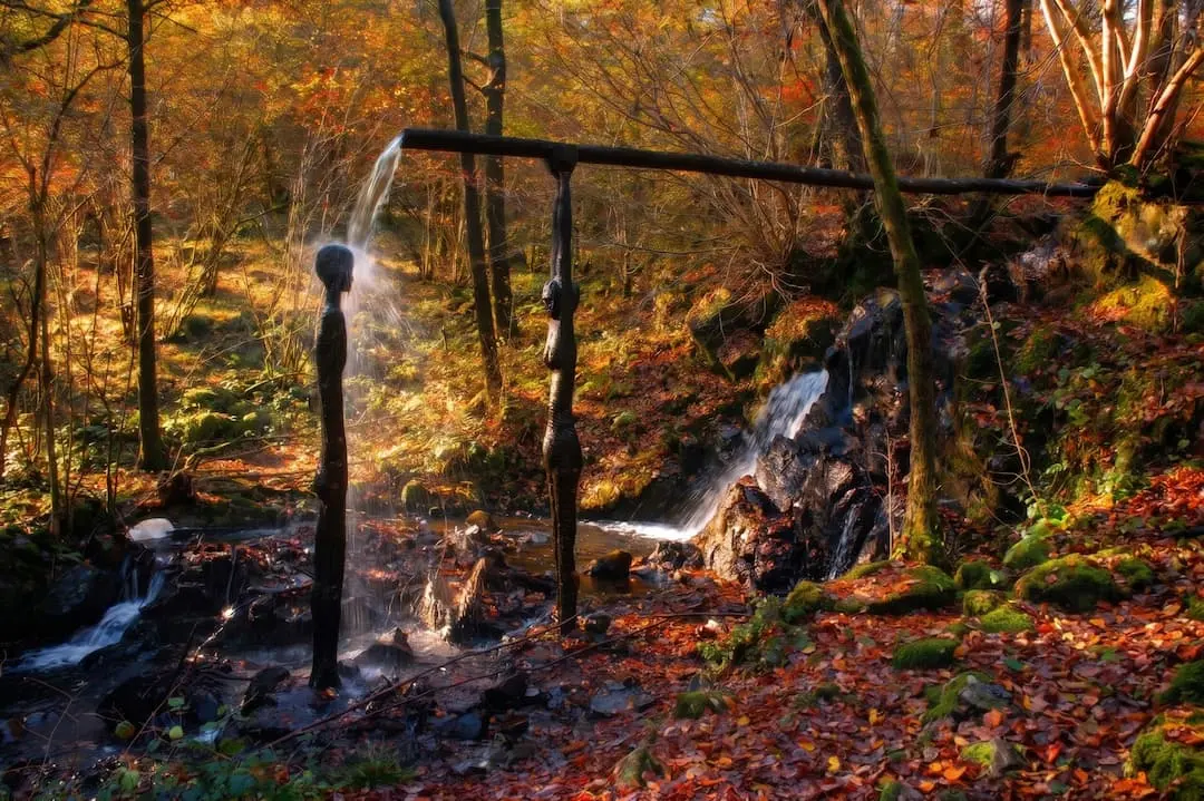
Force Falls Walk — Grizedale Forest Waterfall & Sculpture Trail
Walk to Force Falls in Grizedale Forest — a circular route through woodland, sculptures and Satterthwaite village to a hidden waterfall. Free GPX, parking and tips.
Read Guide →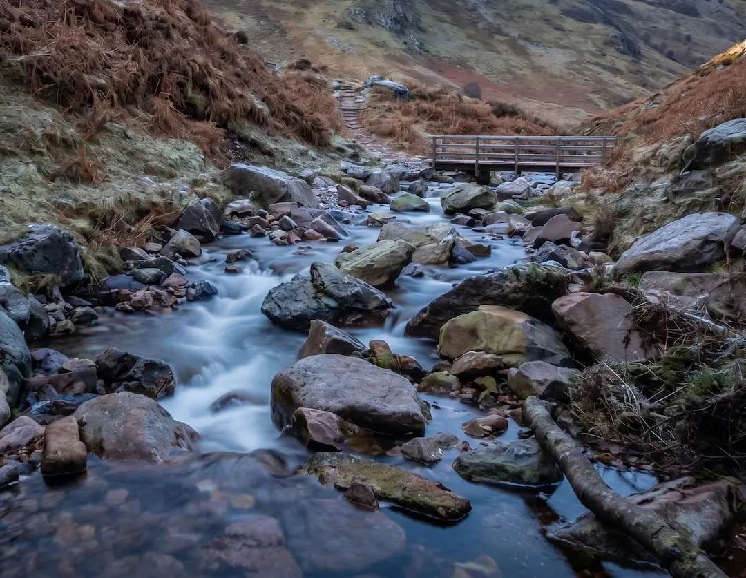
Scale Force Walk — Buttermere's Tallest Waterfall Trail
Walk to Scale Force, the Lake District's tallest waterfall. Our Buttermere circular guide covers the full route with free GPX download and parking info.
Read Guide →
Stanley Ghyll Force Walk — Eskdale Waterfall & Gorge Guide
The Stanley Ghyll Force walk from Dalegarth Station — through a rhododendron gorge to a 60ft waterfall and its cantilevered viewing platform. Free GPX, parking and tips.
Read Guide →