 UKLakeDistrict
Lake District walks
Rainy day walks in the Lake District
Lake District walks for wet weather: waterfalls at their best after rain and sheltered woodland paths, with honest advice on gorges, rocks and swollen becks.
Rainy day walks (9)

Rydal Caves
An easy circular walk from White Moss through woodland and along Rydal Water to a vast slate cavern with stepping stones. Free GPX, parking and tips.
Read guide: Rydal Caves →
Stanley Ghyll Force
Walk from Dalegarth Station through a rhododendron gorge to Stanley Ghyll Force, a 60ft waterfall with a cantilevered viewing platform. Free GPX.
Read guide: Stanley Ghyll Force →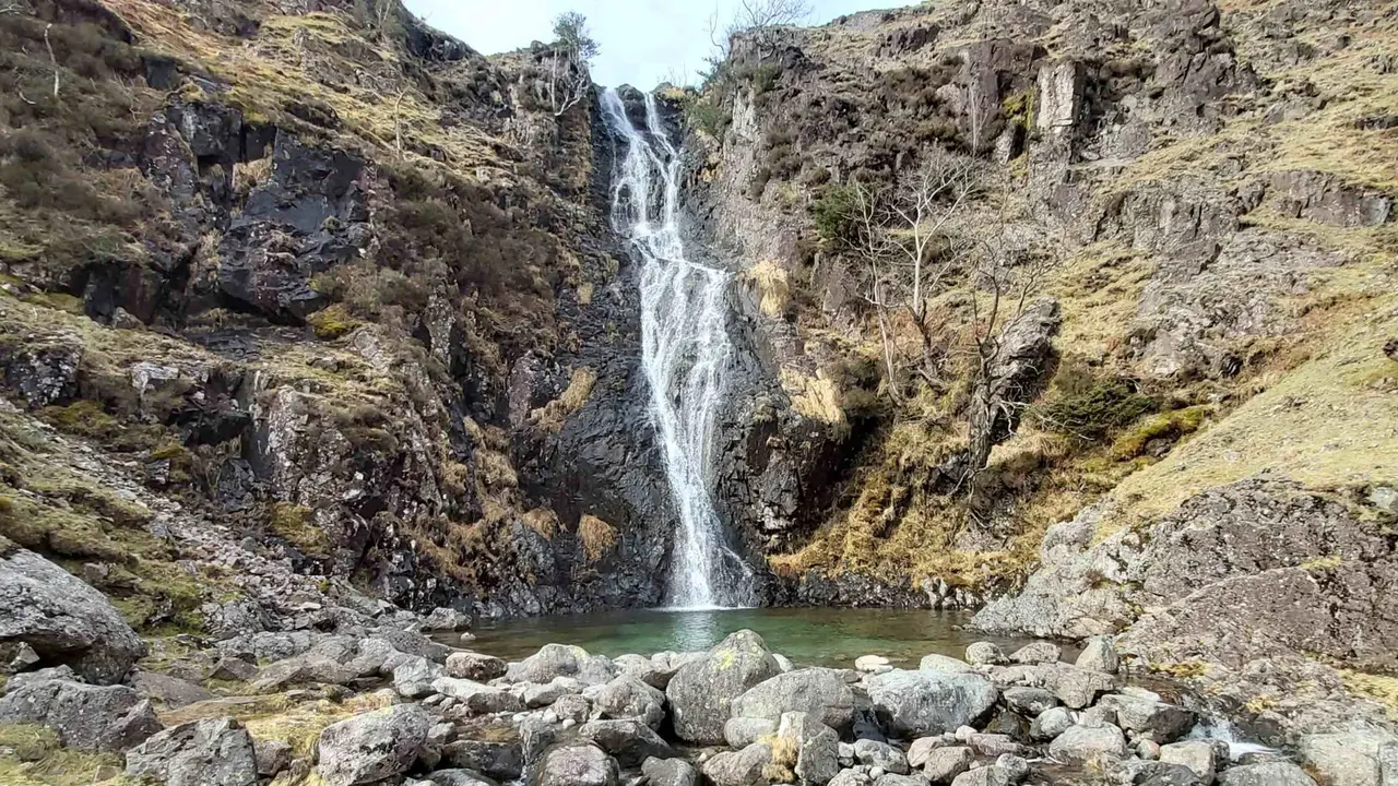
Whorneyside Force
A quiet route from the Old Dungeon Ghyll up Oxendale to a hidden Langdale waterfall, ending at a legendary hikers' pub. Free GPX, parking and tips.
Read guide: Whorneyside Force →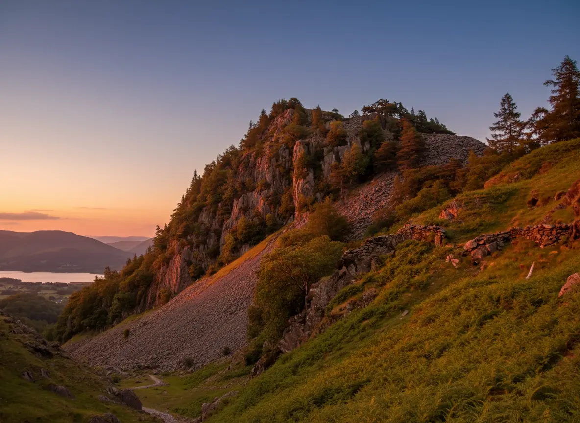
Castle Crag
A short, steep circular from Rosthwaite to Castle Crag, the smallest Wainwright, with Borrowdale views, slate quarries and a cave. Free GPX and tips.
Read guide: Castle Crag →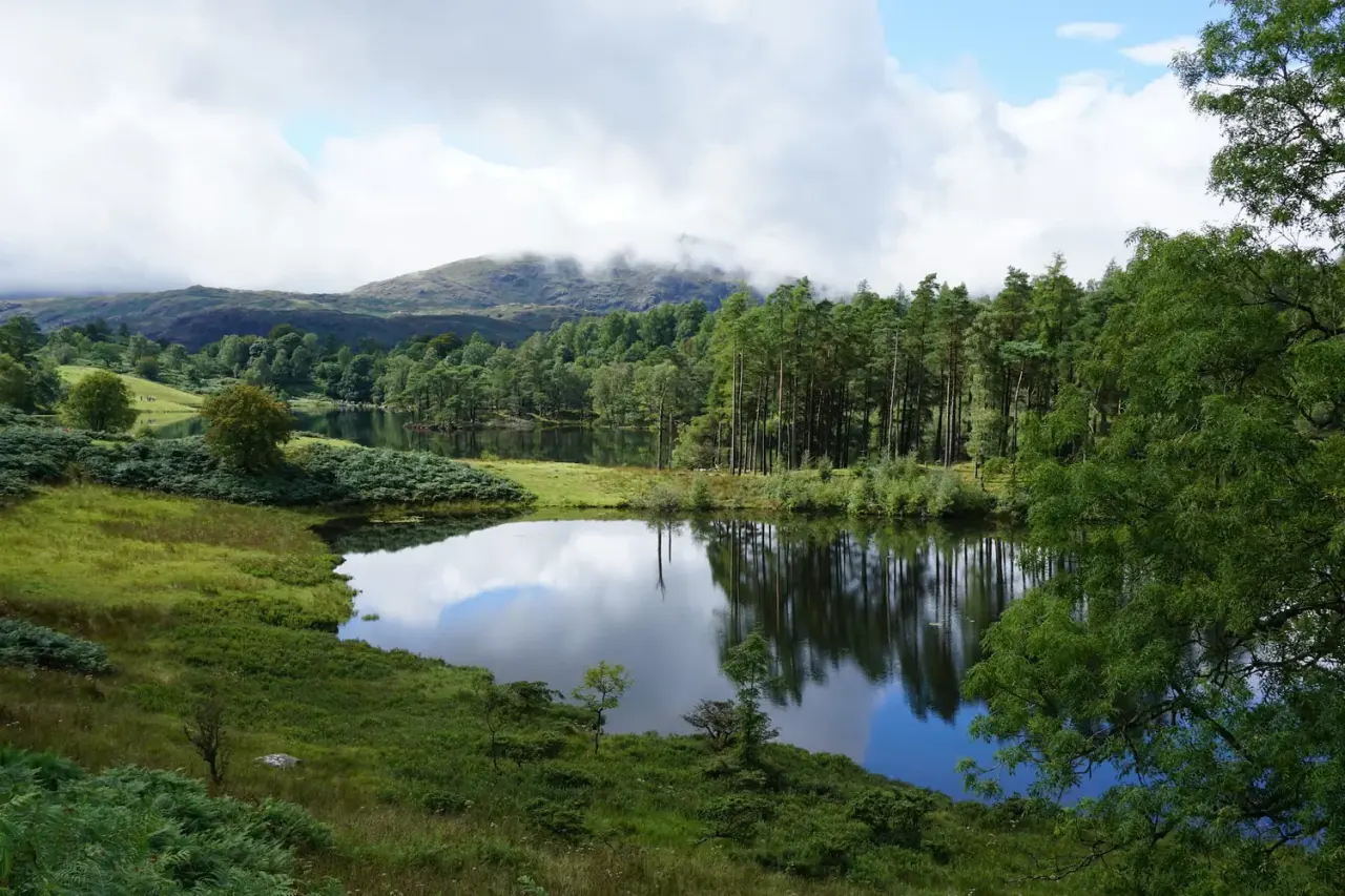
Tarn Hows & Tom Gill
A short Coniston circular via the Tom Gill waterfalls to Tarn Hows, with an OS map, free GPX download and honest parking and accessibility info.
Read guide: Tarn Hows & Tom Gill →
Black Crag & Tarn Hows
A circular walk linking the Tom Gill waterfalls, Tarn Hows and the Wainwright summit of Black Crag above Coniston. Free GPX, parking and timings.
Read guide: Black Crag & Tarn Hows →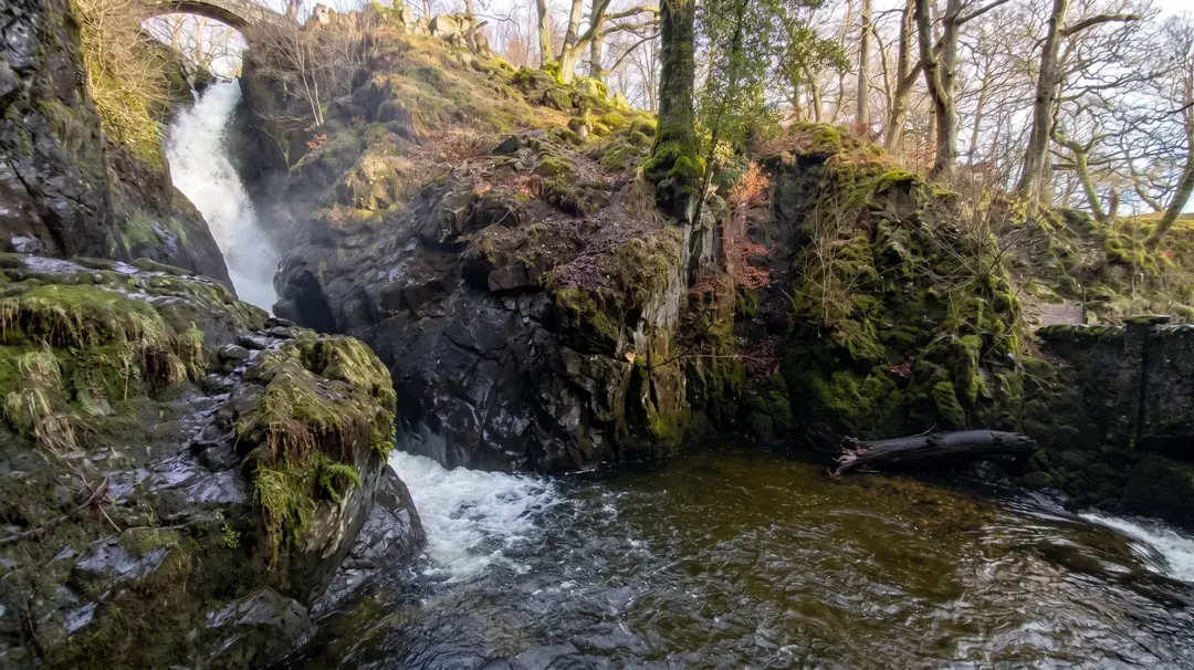
Aira Force & Gowbarrow
Discover the 65ft Aira Force waterfall and the full Gowbarrow Park circular walk, with interactive OS maps, free GPX downloads and parking info.
Read guide: Aira Force & Gowbarrow →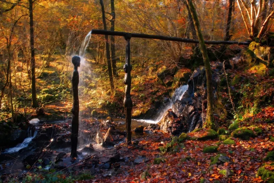
Force Falls, Grizedale
A circular walk through Grizedale Forest, its sculptures and Satterthwaite village to the hidden cascade of Force Falls. Free GPX, parking and tips.
Read guide: Force Falls, Grizedale →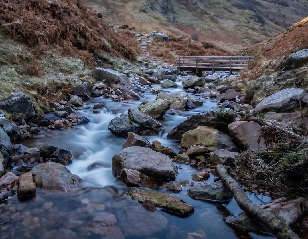
Scale Force
Walk to Scale Force, the Lake District's tallest waterfall. Our Buttermere circular guide covers the full route with free GPX download and parking info.
Read guide: Scale Force →The Lake District is one of the wettest places in England, so it pays to have a few wet-weather walks up your sleeve. When the cloud is down on the high fells and the summits offer nothing but wind and mist, the waterfalls are at their most spectacular and the woods are green, sheltered and atmospheric. The walks on this page all visit a waterfall or spend much of their time in woodland.
Waterfalls after rain
A day or two of rain transforms the Lakeland falls. Aira Force thunders under its stone footbridges; Stanley Ghyll fills its narrow, fern-lined gorge with spray; and Scale Force, the tallest waterfall in the Lake District, is at its best when the becks are full. Tom Gill makes a short, sheltered climb to Tarn Hows, and Force Falls sits in the depths of Grizedale Forest among its sculptures.
Woodland and low-level walks
Trees take the edge off wind and rain. Rydal Caves stays low beside Rydal Water, and the cave itself is a dry spot for a break. Borrowdale's oak woods around Castle Crag are part of a rare temperate rainforest that looks its best when it's damp. On wet days, consider walking only the woodland parts of longer routes.
Gorge and water safety
Wet weather brings its own hazards, so take them seriously. Rocks around waterfalls are slippery in all weathers and treacherous when wet: stay on the paths and behind any fences, and keep a close hand on children and dogs. Don't climb on wet rocks for a photo. Becks rise fast after heavy rain: never try to cross a swollen stream or ford, even one you crossed easily on the way out. Look for a bridge, wait, or turn back. Some higher waterfall routes, such as Whorneyside Force, cross open fellside and becks, so check the forecast and save them for a day when the rain has eased. Gorge paths can also be closed after storms; follow any signs on the ground.
Bring full waterproofs, boots with a good grip and a warm layer, and a dry change of clothes for the car or bus. Our safety guide covers forecasts and water hazards in more detail.
Frequently Asked Questions
What are the best walks in the Lake District when it's raining?
Waterfall and woodland walks. Aira Force, Stanley Ghyll and Tom Gill are all at their best after rain, and woodland routes give shelter from wind. Save the high fells for a clearer day.
Is it safe to visit waterfalls after heavy rain?
Yes, if you stay on the paths. Rocks near waterfalls are very slippery when wet, and becks can rise quickly. Keep behind fences, keep children and dogs close, and never try to cross a swollen stream.
Which is the tallest waterfall in the Lake District?
Scale Force, near Buttermere, is usually described as the Lake District's tallest waterfall, with a main drop of around 50 metres. It's at its most impressive after rain.
Should I climb a fell in the rain?
Experienced walkers do, with the right kit and navigation skills, but cloud, wind and slippery rock make the fells much harder and less rewarding in heavy rain. If the mountain forecast shows strong wind or a low cloud base, choose a low-level walk instead.
What should I wear for a wet-weather walk?
A waterproof jacket and over-trousers, boots with a good grip, a warm mid-layer, hat and gloves, and a spare dry layer in a waterproof bag. Leave a change of clothes in the car or take one on the bus.