 UKLakeDistrict
Lake District walks
Circular walks in the Lake District
Circular Lake District walks that bring you back to where you parked: waterfall loops, lakeshores and small fells, each with a map and free GPX file.
Circular walks (11)
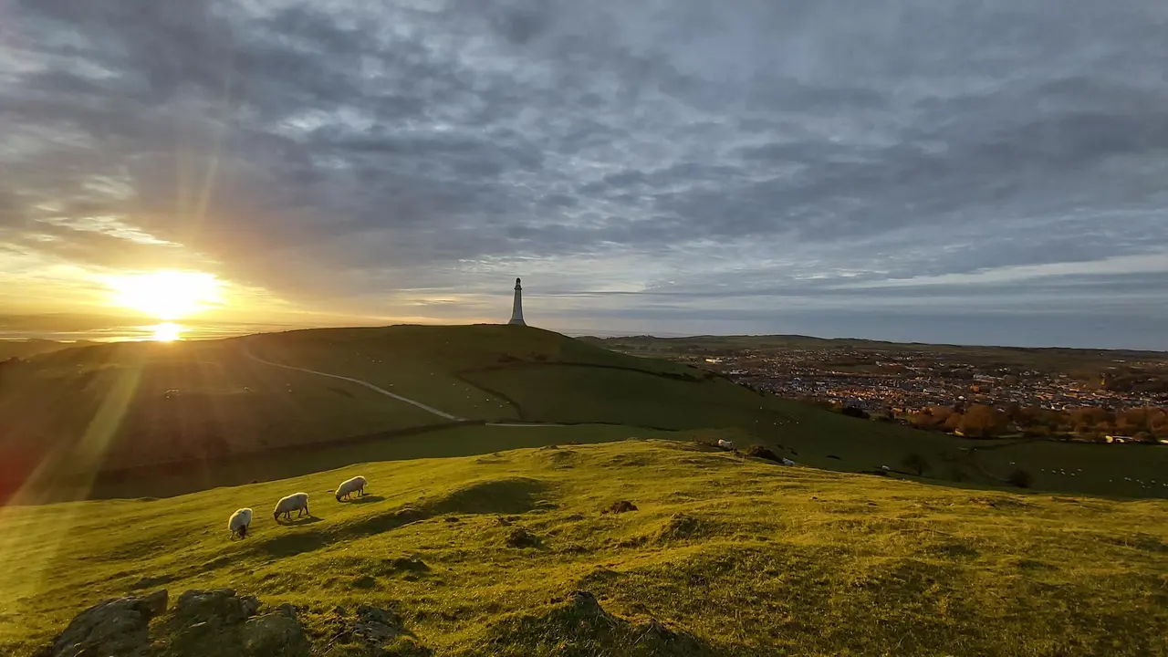
Hoad Hill
Hoad Hill walk from Ulverston town centre to the Sir John Barrow Monument, the 'lighthouse' on the Hoad: route map, parking, free GPX and Morecambe Bay views.
Read guide: Hoad Hill →
Rydal Caves
An easy circular walk from White Moss through woodland and along Rydal Water to a vast slate cavern with stepping stones. Free GPX, parking and tips.
Read guide: Rydal Caves →
Stanley Ghyll Force
Walk from Dalegarth Station through a rhododendron gorge to Stanley Ghyll Force, a 60ft waterfall with a cantilevered viewing platform. Free GPX.
Read guide: Stanley Ghyll Force →
High Sweden Bridge
High Sweden Bridge circular walk from Ambleside: a 4.8 km route map up Scandale to the old packhorse bridge, with parking, timings, free GPX and lake views.
Read guide: High Sweden Bridge →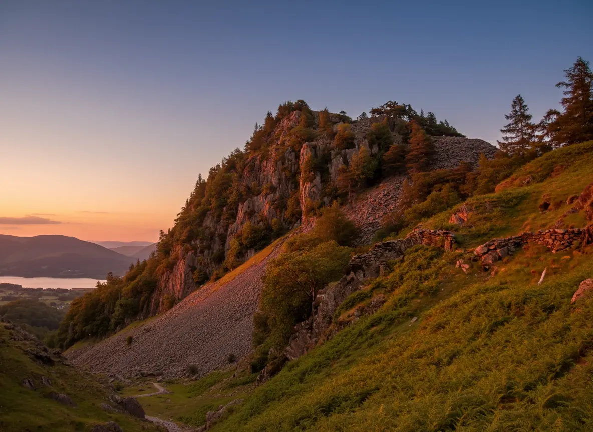
Castle Crag
A short, steep circular from Rosthwaite to Castle Crag, the smallest Wainwright, with Borrowdale views, slate quarries and a cave. Free GPX and tips.
Read guide: Castle Crag →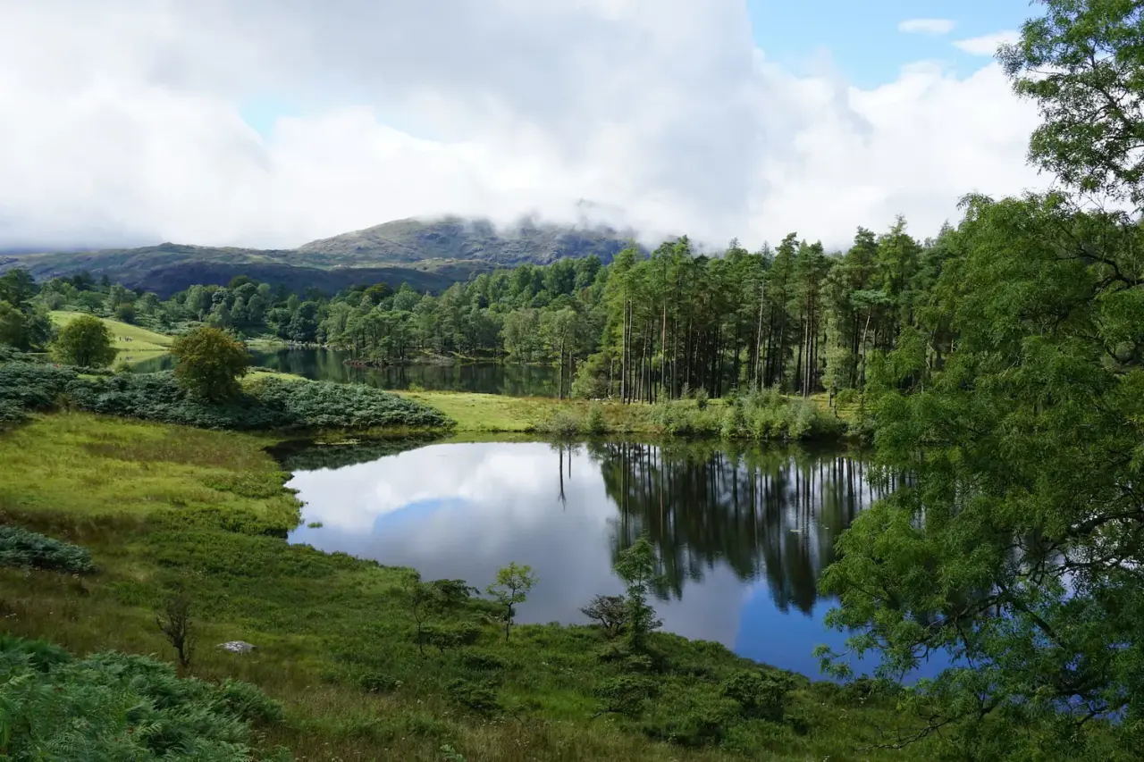
Tarn Hows & Tom Gill
A short Coniston circular via the Tom Gill waterfalls to Tarn Hows, with an OS map, free GPX download and honest parking and accessibility info.
Read guide: Tarn Hows & Tom Gill →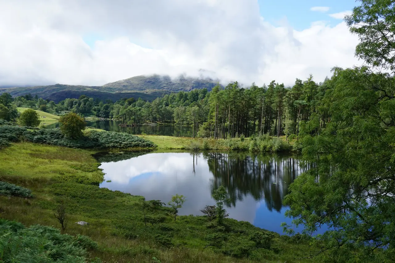
Black Crag & Tarn Hows
A circular walk linking the Tom Gill waterfalls, Tarn Hows and the Wainwright summit of Black Crag above Coniston. Free GPX, parking and timings.
Read guide: Black Crag & Tarn Hows →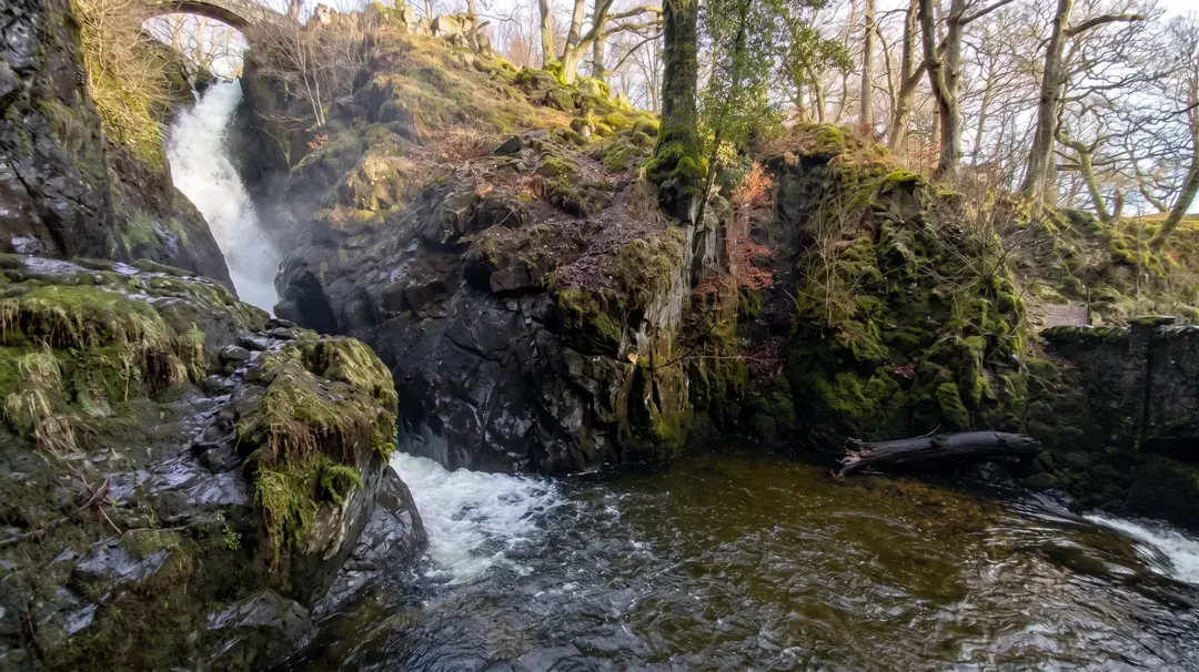
Aira Force & Gowbarrow
Discover the 65ft Aira Force waterfall and the full Gowbarrow Park circular walk, with interactive OS maps, free GPX downloads and parking info.
Read guide: Aira Force & Gowbarrow →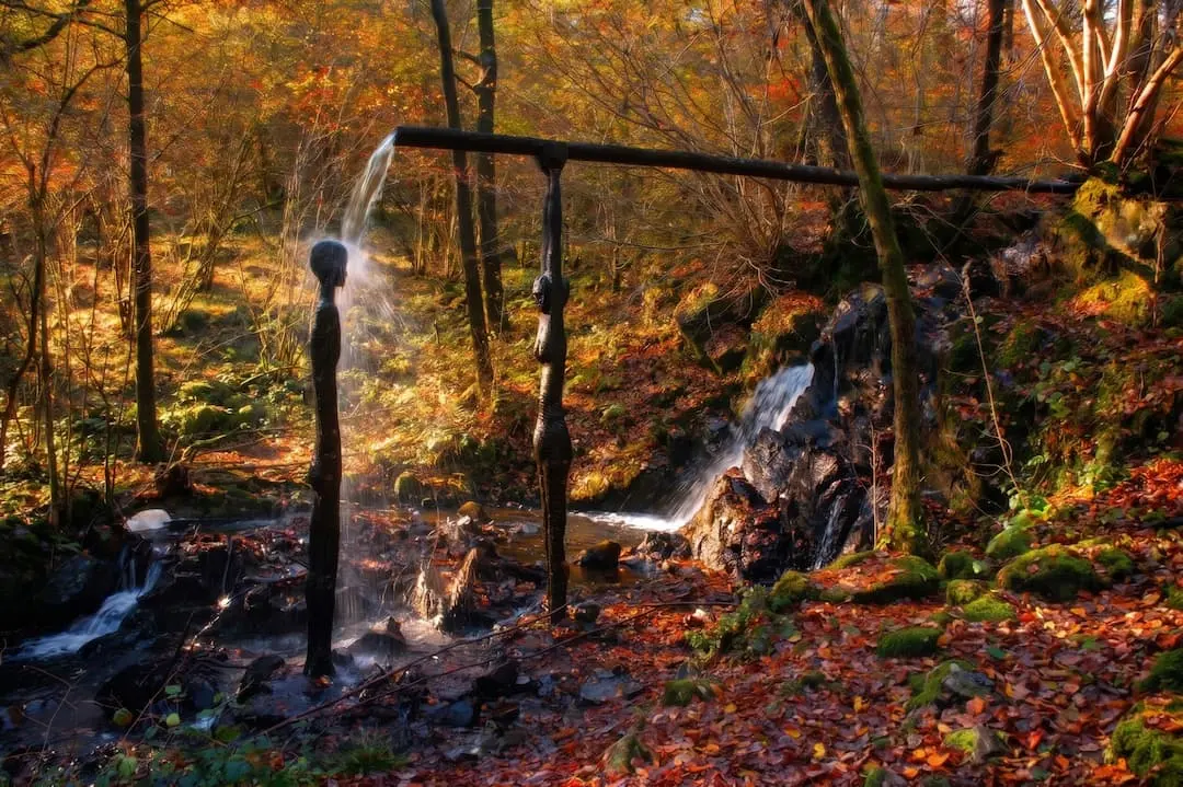
Force Falls, Grizedale
A circular walk through Grizedale Forest, its sculptures and Satterthwaite village to the hidden cascade of Force Falls. Free GPX, parking and tips.
Read guide: Force Falls, Grizedale →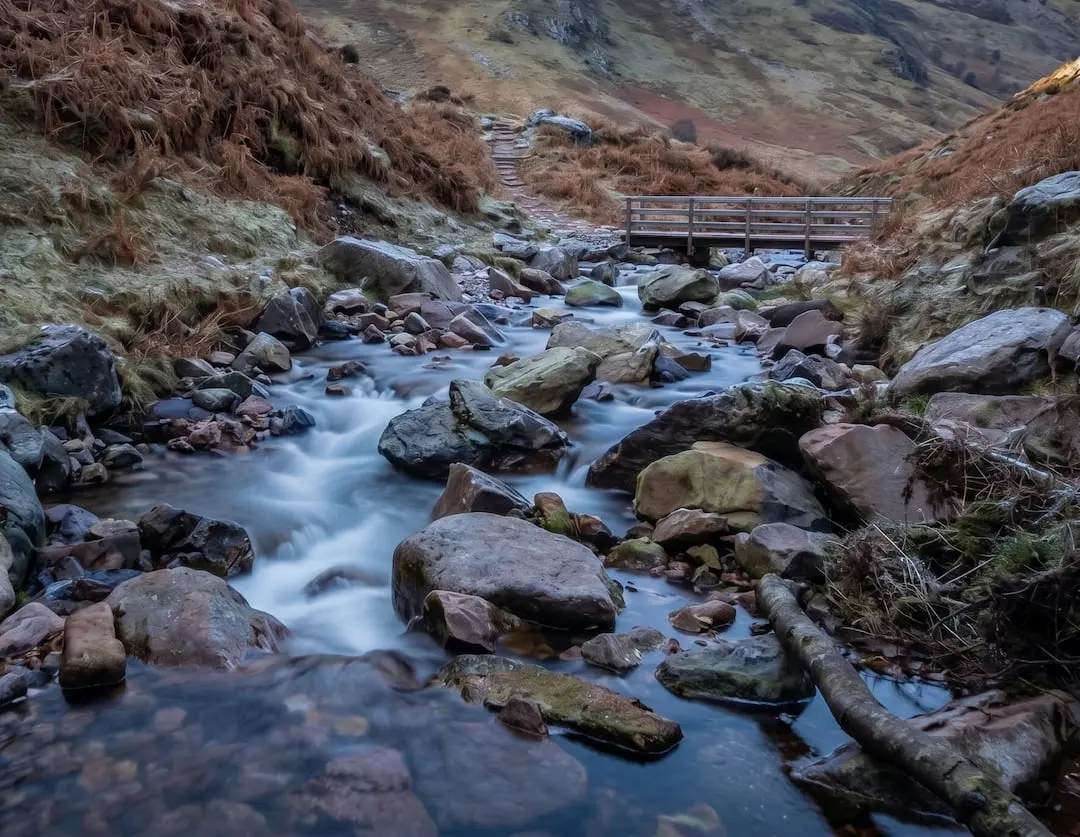
Scale Force
Walk to Scale Force, the Lake District's tallest waterfall. Our Buttermere circular guide covers the full route with free GPX download and parking info.
Read guide: Scale Force →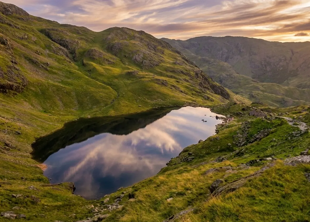
Old Man of Coniston
Old Man of Coniston circular walk: 8.1 km and 3.5–5 hours via Low Water and Goat's Water, with route map, free GPX, car park, difficulty and summit facts.
Read guide: Old Man of Coniston →A circular walk brings you back to the car park, bus stop or café you started from without retracing your steps, so you see something new the whole way round. Every walk on this page is a loop. They range from short lakeside strolls to proper fell days, and every guide has a map, a free GPX file and step-by-step directions.
Why choose a loop?
Loops are the easiest walks to plan: one car park, no bus timetable, and no need to arrange a lift at the far end. They also tend to show a place from more than one angle. On the Aira Force and Gowbarrow walk you climb past the falls through the woods, then return high above Ullswater. At Rydal Caves you walk one shore of Rydal Water and return along the terrace path past the cave. The Old Man of Coniston loop climbs through the old quarries and returns by a different, quieter line.
Waterfalls, lakes and small fells
Many of the Lakes' best short circulars visit a waterfall. Stanley Ghyll in Eskdale threads a deep, fern-filled gorge; Scale Force visits the Lake District's tallest waterfall from Buttermere; and Tom Gill and Tarn Hows combines a waterfall with one of the best-loved tarns in the National Park. For a summit with a loop, Castle Crag in Borrowdale and Black Crag above Tarn Hows are small Wainwrights with big views. In town, Hoad Hill and High Sweden Bridge start right from the high street.
Walking a loop well
The direction matters. Our guides describe each loop in the direction we think works best, often climbing the steeper side and descending the gentler one, or saving the best view for the return. If you reverse it, read the steps carefully, as junctions look different the other way round. Loops also make it harder to turn back halfway, so check the weather and your timing before you commit; our safety guide explains how. Grades run from Easy to Challenging; see walk grades explained to pick the right one.
Every loop on this page has a free GPX file, so you can follow your progress on your phone and see at a glance how much of the circuit is left. Carry the paper OS map too.
Frequently Asked Questions
What is a circular walk?
A walk that starts and finishes in the same place without retracing the same path, so you see new ground the whole way. It's the opposite of an out-and-back walk (there and back the same way) or a linear walk (from A to B).
What is the best short circular walk in the Lake District?
For a short, easy loop, Rydal Caves is hard to beat: a lakeshore, a giant slate cavern and views of the Grasmere fells. For a waterfall, try Stanley Ghyll or Tom Gill and Tarn Hows.
Are there circular walks up a Lake District fell?
Yes. The Old Man of Coniston is a classic circular mountain walk, and Castle Crag and Black Crag are smaller Wainwright summits you can walk as a loop.
Which direction should I walk a loop?
Follow the direction in the guide: it's usually chosen to climb the steeper ground and descend the easier side, or to keep the best views ahead of you. If you reverse a route, take extra care at junctions.
Can I download the circular routes for my phone?
Yes. Every walk has a free GPX file in its route card that you can load into most mapping apps or a handheld GPS. Our GPX and maps guide explains how, and why you should still carry a paper map.