 UKLakeDistrict
Lake District walks
Car-free walks in the Lake District
Lake District walks you can reach without a car: routes near bus stops, train stations and lake piers, with notes on which bus or boat to catch.
Car-free walks (11)
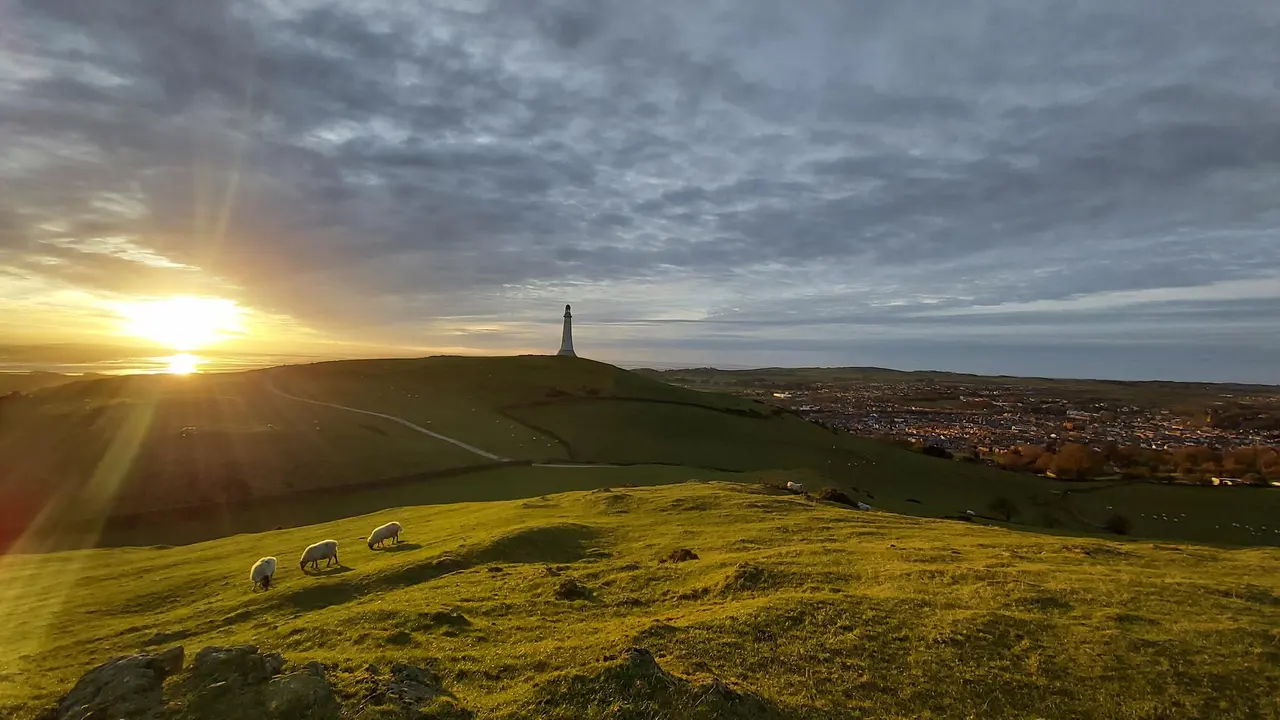
Hoad Hill
Hoad Hill walk from Ulverston town centre to the Sir John Barrow Monument, the 'lighthouse' on the Hoad: route map, parking, free GPX and Morecambe Bay views.
Read guide: Hoad Hill →
Rydal Caves
An easy circular walk from White Moss through woodland and along Rydal Water to a vast slate cavern with stepping stones. Free GPX, parking and tips.
Read guide: Rydal Caves →
Stanley Ghyll Force
Walk from Dalegarth Station through a rhododendron gorge to Stanley Ghyll Force, a 60ft waterfall with a cantilevered viewing platform. Free GPX.
Read guide: Stanley Ghyll Force →
High Sweden Bridge
High Sweden Bridge circular walk from Ambleside: a 4.8 km route map up Scandale to the old packhorse bridge, with parking, timings, free GPX and lake views.
Read guide: High Sweden Bridge →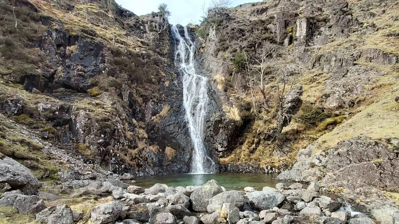
Whorneyside Force
A quiet route from the Old Dungeon Ghyll up Oxendale to a hidden Langdale waterfall, ending at a legendary hikers' pub. Free GPX, parking and tips.
Read guide: Whorneyside Force →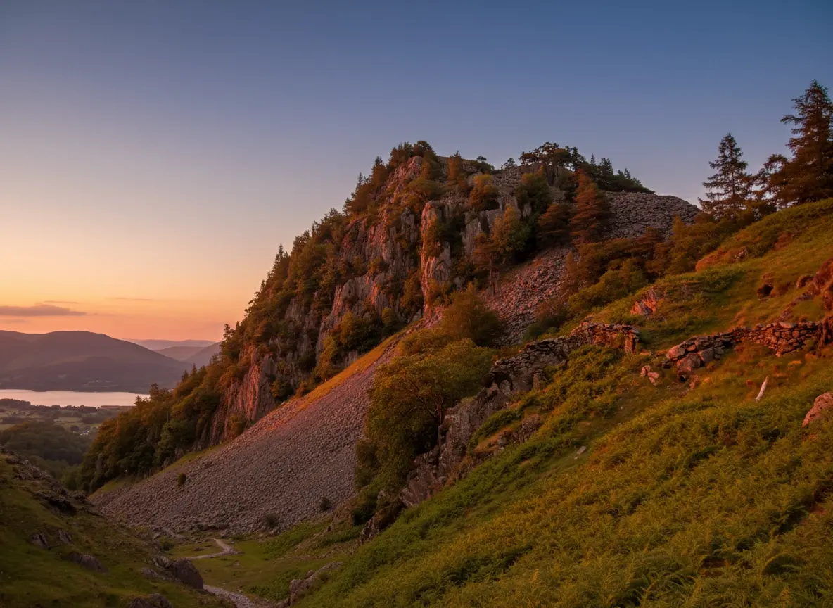
Castle Crag
A short, steep circular from Rosthwaite to Castle Crag, the smallest Wainwright, with Borrowdale views, slate quarries and a cave. Free GPX and tips.
Read guide: Castle Crag →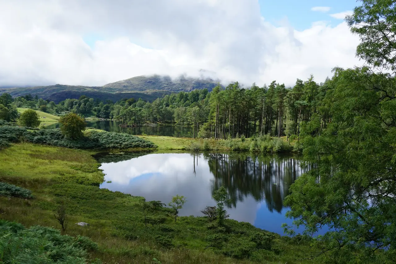
Black Crag & Tarn Hows
A circular walk linking the Tom Gill waterfalls, Tarn Hows and the Wainwright summit of Black Crag above Coniston. Free GPX, parking and timings.
Read guide: Black Crag & Tarn Hows →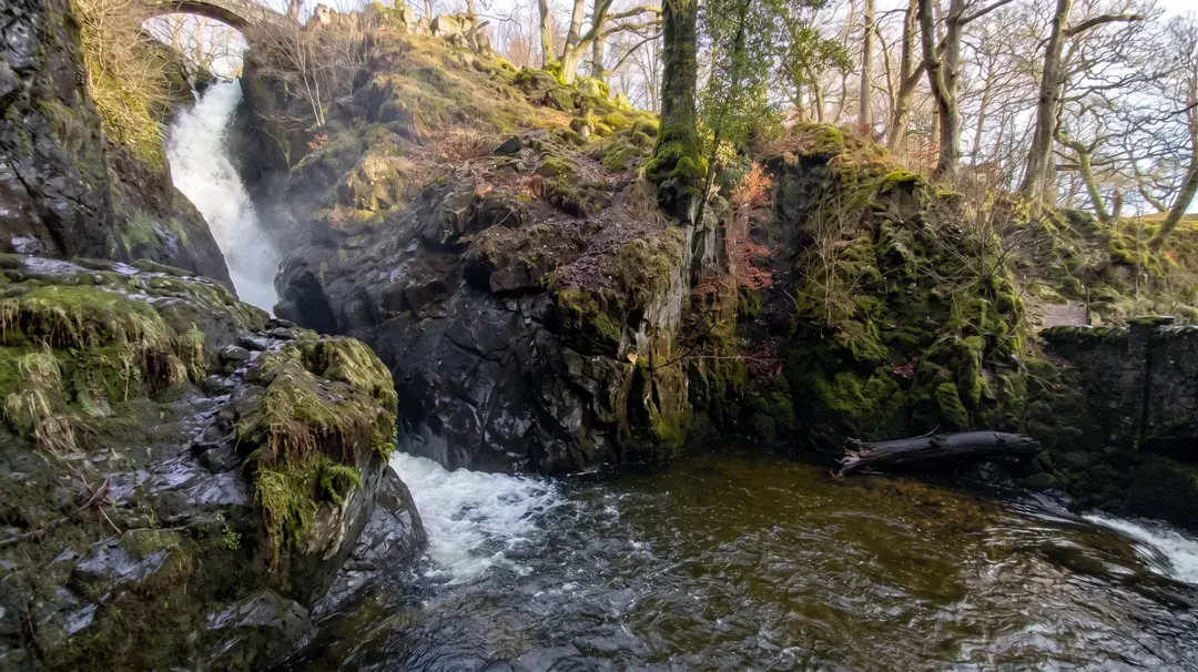
Aira Force & Gowbarrow
Discover the 65ft Aira Force waterfall and the full Gowbarrow Park circular walk, with interactive OS maps, free GPX downloads and parking info.
Read guide: Aira Force & Gowbarrow →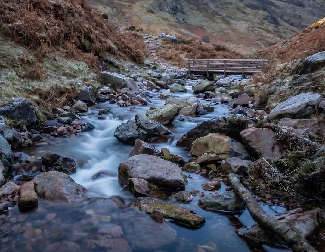
Scale Force
Walk to Scale Force, the Lake District's tallest waterfall. Our Buttermere circular guide covers the full route with free GPX download and parking info.
Read guide: Scale Force →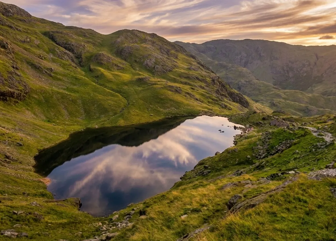
Old Man of Coniston
Old Man of Coniston circular walk: 8.1 km and 3.5–5 hours via Low Water and Goat's Water, with route map, free GPX, car park, difficulty and summit facts.
Read guide: Old Man of Coniston →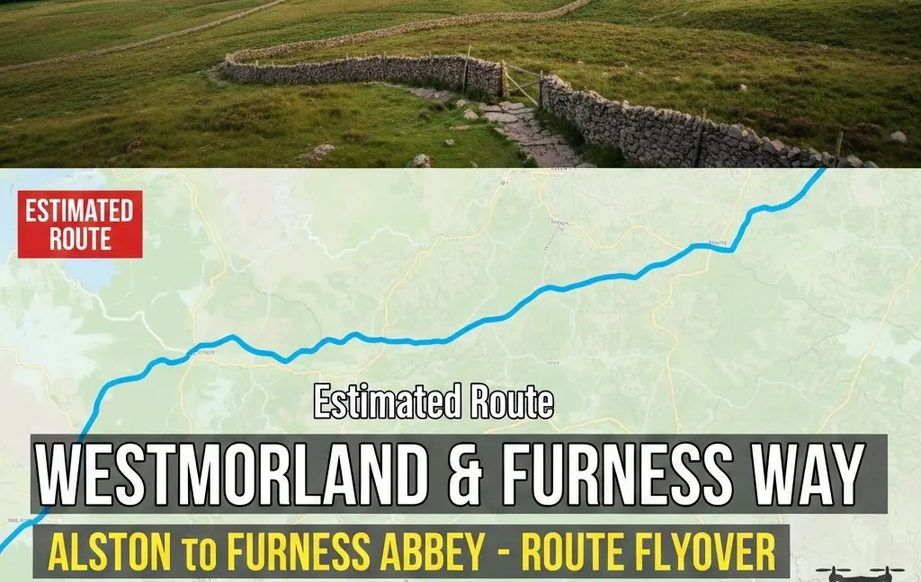
Westmorland & Furness Way
Route map of the 120-mile Westmorland & Furness Way from Alston to Furness Abbey: all six official sections, distances, where to stay and a free GPX.
Read guide: Westmorland & Furness Way →You don't need a car to walk in the Lake District. Every walk on this page can be reached by public transport, and each guide's route card has a "Without a car" note saying which bus, train or boat gets you to the start. Leaving the car behind means no hunt for a parking space at a full trailhead, no parking charges, and the freedom to walk a linear route and catch the bus back.
Buses
The 555 runs all year between Lancaster, Kendal, Windermere, Ambleside, Grasmere and Keswick, and is the backbone of car-free walking. It passes White Moss for the Rydal Caves walk and stops in Ambleside, a few minutes from the start of High Sweden Bridge. From Keswick the 78 runs up Borrowdale to Rosthwaite for Castle Crag, and the seasonal 77/77A Honister Rambler reaches Buttermere for Scale Force. The 516 goes from Ambleside to Great Langdale for Whorneyside Force, the 505 links Windermere and Ambleside with Hawkshead and Coniston for the Old Man of Coniston, and the 508 runs from Penrith along Ullswater.
Trains and boats
Ulverston station is a short walk from the start of Hoad Hill, and the little Ravenglass & Eskdale Railway runs to Dalegarth for Stanley Ghyll. On Ullswater, the lake steamers call at Aira Force pier, close to the falls on the Aira Force and Gowbarrow walk. Several section towns on the Westmorland & Furness Way have railway stations, so you can walk it in day stages by train.
Plan ahead
Bus and boat timetables change with the seasons, and several walkers' services run less often, or not at all, in winter. We deliberately don't quote times or fares: check the current timetable with the operator or Traveline before you travel, and always know when the last bus leaves. Some stops are a little way from the start of a route; the guide notes say how far. Our full guide to the Lake District without a car covers rail gateways, every main bus route and the lake boats.
A car-free day also opens up linear walks: catch a bus or boat out, walk back to your base, and you never have to retrace your steps. Use the Car-free filter in the Walk Finder to see these routes on a map.
Frequently Asked Questions
Which Lake District walks can I do by bus?
Most of ours. Rydal Caves and High Sweden Bridge are on the 555; Castle Crag is on the 78 Borrowdale bus; Whorneyside Force is on the 516 to Langdale; and Scale Force is on the seasonal 77/77A. Each guide's route card names the bus.
Can you get to the start of a Lake District walk by train?
Yes, for some. Hoad Hill starts a short walk from Ulverston station, and the Ravenglass & Eskdale Railway runs to Dalegarth for Stanley Ghyll. Windermere station connects with buses to Ambleside, Grasmere and Keswick.
Do Lake District walkers' buses run in winter?
The main 555 runs all year, but some walkers' services, such as the Honister Rambler, are seasonal, and others run less often in winter. Always check the current timetable before relying on a bus.
Can I use the Ullswater steamers to start a walk?
Yes. The Ullswater boats call at Aira Force pier, a short walk from the falls, which makes a lovely start to the Aira Force and Gowbarrow walk. Sailings are reduced in winter and can be cancelled in strong winds.
Is Scafell Pike reachable without a car?
Not easily from Wasdale: there's no regular bus to Wasdale Head, which is why our Scafell Pike route isn't on this page. Some walkers take a taxi from the coast, or climb from Borrowdale, taking the 78 bus to Seatoller and walking via Seathwaite, which is a much longer day.