 UKLakeDistrict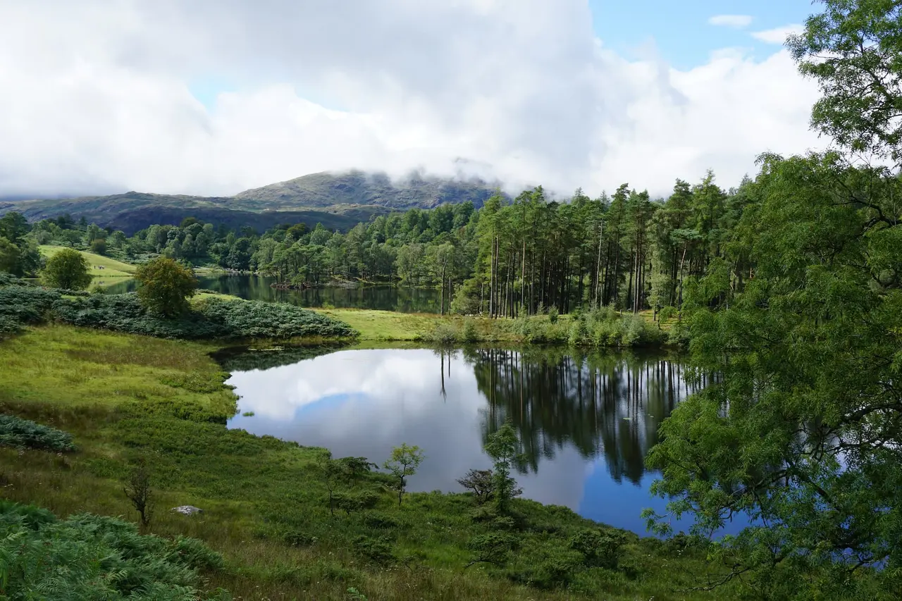
Black Crag & Tarn Hows
Wainwright · Southern Fells · 323m
A circular walk linking the Tom Gill waterfalls, Tarn Hows and the Wainwright summit of Black Crag above Coniston. Free GPX, parking and timings.
Route map & downloads
Loading the interactive route map…
Map not included: carry OS Explorer OL7 and a compass.
- Start / parking
- Glen Mary Bridge National Trust Car Park
- Postcode
- LA21 8DP
- Parking
- Pay & display (free for National Trust members)
- Without a car
- Possible but awkward: the seasonal 505 bus and Coniston Launch get you within walking distance.
Step-by-step route
The Black Crag walk is one of the great value-for-effort days in the southern Lakes — a gentle circular route that strings together tumbling waterfalls, the Lake District's most famous tarn and a genuine Wainwright summit, all for barely 200 metres of climbing. From Glen Mary Bridge the path follows Tom Gill up through woodland past a series of pretty cascades to burst out at the shore of Tarn Hows, the beloved beauty spot with its island-studded water and postcard views of the Langdale Pikes. Beyond the tarn a quiet path climbs through the reclaimed woodland of Iron Keld to the modest but far-seeing top of Black Crag, crowned by its National Trust trig point. Despite standing only 323 metres high, the summit is a superb viewpoint — a low fell perfectly placed to look out over Windermere, Coniston Water, Wetherlam and the higher central fells. Easy enough for families and improving walkers yet ticking off a real Wainwright, this is one of the most rewarding short circuits in the whole district.
Glen Mary Bridge & the Tom Gill Waterfalls
Start at the Glen Mary Bridge roadside car park and take the path that climbs beside Tom Gill into the trees. This is the loveliest opening of any walk in the area: the beck tumbles down through a wooded ravine in a succession of waterfalls and cascades, the biggest a fine cataract framed by mossy rock and overhanging oaks. The path is steady but never steep, climbing gently alongside the water on good, well-used trails. Take your time here — there are pools, plunge basins and photo spots at every turn — before the gill levels off and the trees begin to thin, a sure sign the tarn is close.
Tarn Hows
The path emerges rather magically at the outflow of Tarn Hows, one of the most photographed views in England. Framed by conifers and rolling fell, this island-dotted tarn — actually a Victorian landscaping of several smaller pools — reflects the Langdale Pikes and the Coniston fells on a still day. Turn left and follow the broad, level circular path anticlockwise around the shore; this stretch is largely accessible and hugely popular with families. Watch for the grazing Belted Galloway cattle that the National Trust use to manage the grassland, and keep dogs on a lead. Roughly halfway round, look for the path breaking away uphill to the north for Iron Keld and the summit.
Iron Keld to the Summit
Leave the tarn and climb the quiet track up through Iron Keld, once a dense commercial spruce plantation and now an open, evolving woodland being returned to native trees — a peaceful, birdsong-filled contrast to the busy tarn shore. Pass through a gate onto open access land and follow the path as it rises gently over rougher, sometimes boggy ground to the little rocky top of Black Crag. The final approach is short and easy, and the summit reveals itself as a neat outcrop crowned by a white trig pillar in the care of the National Trust.
The Summit (323m) & Views
For such a low fell the summit of Black Crag is a revelation. The all-round view takes in Windermere to the east, Coniston Water to the south, and a beautifully framed sweep of the higher fells to the north and west — the spiky Langdale Pikes, Wetherlam, and the Coniston range. Note that the fell itself is properly called Black Fell; its summit rocks and the trig point carry the name Black Crag, which is why you'll see both names on maps. It's a fine, breezy spot for a rest before the return.
The Descent to Glen Mary
From the summit, retrace your steps back down through Iron Keld to rejoin the Tarn Hows circuit, then complete the shore path back to the outflow where you first arrived. From here, drop back down the Tom Gill path beside the waterfalls to Glen Mary Bridge — an easy, downhill finish with the cascades for company. If you'd prefer a change of scene you can vary the return using the higher woodland tracks, but the gill descent is the prettiest way to round off the walk.
Route Essentials
- Parking: The Glen Mary Bridge National Trust roadside car park (LA21 8DP) is the ideal start for the full circular and fills up fast on fine days. If it's full, the large main Tarn Hows car park (pay-and-display, free for NT members) is a short distance away — though starting there means you miss the Tom Gill waterfalls on the way up.
- Naming confusion: Don't be thrown by the map — the fell is listed by Wainwright as Black Fell, while its summit and trig point are named Black Crag. You're in the right place; it's the same top.
- Terrain: Mostly good paths, but the stretch through Iron Keld to the summit can be notoriously boggy even in summer, so waterproof boots are recommended. The Tom Gill path has some rocky steps beside the falls.
- Family & dogs: The Tarn Hows circuit itself is largely level and buggy-friendly, but the climb to Black Crag via Iron Keld is not suitable for pushchairs. Keep dogs on a lead near the Belted Galloway cattle around the tarn.
- Facilities: There are toilets and an ice-cream van (in season) at the main Tarn Hows car park. The nearest pubs, cafés and shops are in Coniston and Hawkshead, both a short drive away.
- Make a day of it: Combine the walk with a visit to Hawkshead village or the shores of Coniston Water for a full, gentle day out in the southern Lakes.
- Safety Notice: The GPX file and route information on this page are for general guidance only. Always carry an OS map and compass, check the weather forecast, and tell someone your plans before setting out. You walk at your own risk.
The Black Crag walk at a glance
The Black Crag walk is one of those rare Lake District routes that seems to have been designed to please everyone. In a single, gentle 6.5 km (4-mile) circular it links tumbling waterfalls, the most photographed tarn in England, an evolving native woodland and a genuine Wainwright summit — all for barely 200 metres of ascent. Families tick off a real fell without a hard climb; Wainwright baggers collect one of the softer tops on the list; and photographers get Tarn Hows, Tom Gill and a summit panorama in one outing.
Set between Coniston and Hawkshead in the Southern Fells, the walk starts from Glen Mary Bridge and works its way up beside a wooded ravine to the tarn before climbing quietly to the trig point on Black Crag (323m) — the summit of the fell Wainwright called Black Fell. It is the ideal choice for a half-day when you want maximum scenery for minimum effort, and it combines beautifully with a café stop or a longer exploration of the southern lakes.
Getting to Glen Mary Bridge: parking and public transport
By car, the route begins at the Glen Mary Bridge National Trust roadside car park (near postcode LA21 8DP) on the A593 between Coniston and the Yewdale valley. This small, informal car park is perfectly placed to walk straight up the Tom Gill waterfalls, but it holds only a handful of cars and fills fast on fine days. If it's full, drive on to the much larger main Tarn Hows car park (pay-and-display, free for National Trust members) — though starting there means you miss the cascades on the way up and only catch them on the descent.
By public transport, the walk is trickier but not impossible: the seasonal 505 Coniston/Hawkshead bus and the Coniston Launch–bus combinations put you within reach, and many walkers link this route with a stay in Coniston or Hawkshead and approach on foot. However you arrive, follow the path climbing beside Tom Gill into the trees to begin the circuit.
Tom Gill waterfalls: the loveliest start of any walk here
The opening stretch beside Tom Gill (sometimes written Tom Heights or Glen Mary) is the walk's first highlight. The beck tumbles down a wooded ravine in a chain of waterfalls and cascades, the largest a fine cataract framed by mossy rock and overhanging oaks. After heavy rain this is a genuinely thunderous little gorge, easily the equal of many walks that bill themselves purely as waterfall routes. If cascades are what draw you to the fells, our full Lake District waterfall walks collection gathers the district's best in one place — but few offer a Wainwright summit at the top like this one does.
The climb is steady rather than steep, with pools and photo spots at every turn, and the trees thin just as the gradient eases — a reliable sign that Tarn Hows is close.
Tarn Hows: England's most famous tarn
The path emerges, almost theatrically, at the outflow of Tarn Hows — an island-studded sheet of water backed by conifers and rolling fell, with the Langdale Pikes and Coniston fells reflected on a still day. It is worth knowing that this "natural" beauty spot is largely a Victorian creation: the landscape architect's hand combined several smaller pools into the single scenic tarn we admire today, later gifted to the National Trust by Beatrix Potter, who owned the land and sold it to the Trust at cost.
A broad, largely accessible circular path rings the tarn, popular with families, wheelchair users and buggy-pushers on its surfaced sections. Watch for the Belted Galloway cattle the Trust uses to graze and manage the grassland, keep dogs on a lead, and about halfway round look for the path breaking uphill to the north for Iron Keld and the summit.
Iron Keld, the summit and the view from Black Crag
The climb to the top leaves the crowds behind at once. The track rises through Iron Keld, once a dense commercial spruce plantation and now an open, regenerating woodland being returned to native trees — a peaceful, birdsong-filled contrast to the busy tarn shore. Beyond a gate onto open access land the path crosses rougher, often boggy ground to the neat rocky top and its National Trust trig pillar.
For such a modest height the summit of Black Crag is a revelation. The all-round view takes in Windermere to the east, Coniston Water to the south, and a beautifully framed sweep of higher fells to the north and west — the spiky Langdale Pikes, Wetherlam and the Coniston range. Because Black Crag stands a little apart from the higher ground, its panorama feels far larger than its 323 metres would suggest, which is exactly why Wainwright gave this humble fell its place among the 214.
Making a day of it: nearby walks and attractions
Black Crag sits at the heart of the gentle southern Lakes, so it pairs naturally with a wider day out. Coniston village offers the Ruskin Museum, lake cruises on the steam yacht Gondola, and easy access to the mightier Old Man of Coniston for walkers ready to climb higher. Hawkshead, with its cobbled square and Beatrix Potter gallery, is equally close, and Grizedale Forest — home to our family-friendly Force Falls hike — lies just over the ridge.
For those working through Alfred Wainwright's list, Black Crag is an easy and satisfying tick that leaves plenty in the legs; browse the full Wainwright fells guide to plan your next summit. Families after another low-effort, high-reward outing will love the Rydal Caves walk near Ambleside.
Where to eat, drink and stay
There are toilets and a seasonal ice-cream van at the main Tarn Hows car park, but no refreshments on the route itself, so plan around the start and finish. Coniston has the widest choice — the Black Bull and Sun Inn among its traditional pubs, plus cafés, shops and outdoor stores — while Hawkshead offers tearooms, the historic Kings Arms and Queens Head, and a range of guesthouses. Both villages make excellent overnight bases, putting Tarn Hows, Coniston Water and dozens of other southern-fell walks within a short drive.
Black Crag walk: final tips for a great day
Come with waterproof boots — the Iron Keld section and the summit approach stay boggy even in summer — and time your visit to make the most of the tarn. Arrive early in peak season for a space at Glen Mary Bridge and a quieter shore path, or come out of season when Tarn Hows glows copper and gold and the little summit is all but deserted. After rain, the Tom Gill waterfalls are at their thundering best, making the whole circuit sing.
Take it slowly, savour the tarn, and don't be fooled by the modest numbers: the Black Crag and Tarn Hows circular delivers more variety, beauty and reward per mile than almost any other short walk in the Lake District — and hands you a proper Wainwright at the top for good measure.
Gallery
Video Guide
What to Bring
- Waterproof walking boots (boggy ground near the summit)
- Waterproof jacket and a warm layer
- Water bottle for everyone
- Snacks or a picnic for the tarn or summit
- OS Explorer OL7 map
- Phone with the OS Maps app
- Camera for the waterfalls and Langdale views
- Sun protection on clear days
- Dog lead (cattle graze around Tarn Hows)
- A few coins for the pay-and-display car park
Best Time to Visit
Black Crag is a genuine year-round walk and one of the best in the district after rain, when Tom Gill's waterfalls are at their thundering best. Spring and autumn are especially lovely — bluebells and fresh green in the Tom Gill woods, and spectacular gold-and-copper reflections at Tarn Hows in October. Summer brings crowds to Tarn Hows, so arrive early for parking and a quieter shore path; the little summit is almost always peaceful whatever the season. Winter is fine on a clear day, though the Iron Keld section gets very muddy and the boggy summit approach can freeze.
Local Weather (yr.no)

Forecast provided by yr.no
Mountain forecasts
Summit conditions can be far colder, windier and cloudier than the valley. Check a specialist mountain forecast before you set out:
Safety Information
Important: The GPX file and route description on this page are for general guidance only and should not be relied upon as a sole means of navigation. GPX tracks are approximate and may not reflect current ground conditions, path diversions, or seasonal changes.
Always carry an Ordnance Survey map and a compass, and know how to use them. Check the weather forecast before setting out, tell someone your planned route and expected return time, and wear appropriate footwear and clothing for the conditions. In an emergency dial 999, ask for the Police, then Mountain Rescue. Read our fell safety guide before your first walk.
UKLakeDistrict.com accepts no responsibility for any loss, injury, or damage arising from the use of route information or GPX files provided on this site. You walk entirely at your own risk.
Black Crag & Tarn Hows: Heritage, Nature & Photography
Black Fell in Wainwright's Southern Fells
Black Crag is the summit of Black Fell, the name Alfred Wainwright used for it in Book Four: The Southern Fells. At 323 metres it is one of the lowest fells in all seven volumes, yet its all-round view punches far above its height. Standing apart from the higher Coniston fells, the summit looks in every direction: north to the Langdale Pikes and Fairfield, east along the length of Windermere, and west to Wetherlam and the Old Man.
For Wainwright baggers, Black Fell is a satisfying short day that pairs nicely with neighbouring Holme Fell, another low but rewarding summit on the far side of the A593. Our Wainwright walks hub covers more fells, from the smallest — Castle Crag — to the highest, Scafell Pike.
Beatrix Potter and the Monk Coniston estate
Much of the land on this walk is cared for by the National Trust thanks to Beatrix Potter. In 1930, Potter — by then a successful author and a committed hill farmer — bought the huge Monk Coniston estate, which included Tarn Hows and several farms. She sold half of it to the National Trust at cost soon after and managed the rest on the Trust's behalf, leaving it to the nation in her will when she died in 1943.
Potter's legacy was about more than scenery. She was a passionate breeder of Herdwick sheep, the tough native breed of the Lakeland fells, and was elected president of the Herdwick Sheep Breeders' Association shortly before her death. Many of the farms she bequeathed are still let to tenant farmers who keep Herdwicks on these slopes today.
Conservation grazing: Belted Galloways and Herdwicks
You'll almost certainly meet livestock on this walk. The National Trust uses Belted Galloway cattle — the distinctive black cows with a white band around their middle — and Herdwick sheep for conservation grazing around Tarn Hows. The cattle are hardy enough to live outdoors all year and graze the coarse grasses and bracken that would otherwise swamp the wildflowers, helping to keep the open, park-like landscape that makes the area so photogenic.
They're generally placid, but give them space: keep dogs on a short lead, never walk between a cow and its calf, and if cattle become inquisitive, move calmly away. If you're ever threatened by cattle while walking with a dog, let the dog go — it will outrun them, and so will you.
Photography tips for Tarn Hows and Black Crag
Tarn Hows is at its most photogenic on a still morning, when the islands and pines are mirrored perfectly in the water — the viewpoint above the main car park and the benches along the southern shore give the classic compositions. Autumn brings rich colour from the larches and birches, and a winter frost can be spectacular.
Black Crag's summit is best in late afternoon and early evening, when low western light rakes across the Langdale and Fairfield fells and Windermere glints to the east. Carry a short telephoto lens (or use your phone's zoom) to pick out individual peaks, and a wide lens for the panorama from the trig point.
The Cumbria Way connection
Tarn Hows sits on the route of the Cumbria Way, the 70-mile long-distance path from Ulverston to Carlisle. Walkers heading north from Coniston pass along the tarn on their way to Skelwith Bridge and Great Langdale. If you enjoy linking places on foot, the Cumbria Way begins at the foot of our Hoad Hill walk in Ulverston and passes close to our Whorneyside Force walk in Langdale and Castle Crag in Borrowdale.
Guide last updated .
Frequently Asked Questions
Where is the best place to park for the Black Crag walk?
The best start for the full circular is the Glen Mary Bridge National Trust car park (LA21 8DP) on the A593, which lets you climb beside the Tom Gill waterfalls straight from the off. It's small and fills quickly on fine days. The alternative is the larger main Tarn Hows car park (pay-and-display, free for National Trust members) a short way up the road — handier for space, but you'll bypass the waterfalls.
Is Black Crag a Wainwright?
Yes. Black Crag — the summit of the fell Wainwright called Black Fell — is one of the 214 fells in Alfred Wainwright's Pictorial Guide to the Lakeland Fells (Book Four: The Southern Fells). At just 323 metres it's one of the lower tops on the round, which makes it a popular, achievable tick for walkers building towards the full list.
How long does the Black Crag walk take?
Allow 2.5 to 3.5 hours for the full circular, which covers about 6.5 km (4 miles) with a gentle 217 m of ascent. Add extra time to enjoy the Tom Gill waterfalls and to walk the full Tarn Hows shore path. It's an easy half-day that combines beautifully with a café stop in Coniston or Hawkshead afterwards.
Is the Tarn Hows and Black Crag walk pushchair friendly?
Partly. The Tarn Hows circular path itself is largely level and accessible, and is genuinely suitable for pushchairs and wheelchairs on its surfaced sections. However, the climb up to Black Crag via Iron Keld is not pushchair-friendly — it crosses rough, often boggy ground with a rocky summit approach. For a buggy-friendly outing, stick to the Tarn Hows loop; for the Wainwright, carry little ones in a back carrier.
What are the views like from the summit of Black Crag?
Outstanding for such a modest height. The trig point looks out over Windermere and Coniston Water, with a beautifully framed view north and west to the Langdale Pikes, Wetherlam and the Coniston fells. Because Black Crag stands a little apart from the higher ground, it enjoys an open, uncluttered panorama that far outshines what you'd expect from a 323-metre top.
Can you walk to Tarn Hows and Tom Gill together?
Yes — this route links them perfectly. Starting from Glen Mary Bridge, you climb beside the Tom Gill waterfalls and arrive directly at Tarn Hows, then continue to the Black Crag summit before returning the same lovely way. It's the ideal way to combine the two most popular attractions in this corner of the Lakes into one satisfying walk rather than visiting them separately by car.
Is the Black Crag walk dog friendly?
Yes, but dogs should be kept on a lead, particularly around Tarn Hows, where the National Trust graze Belted Galloway cattle to manage the grassland. Give the cattle plenty of space and never let a dog worry livestock. The rest of the route — the Tom Gill woods and the Iron Keld climb — is fine for dogs under close control; just expect muddy paws near the boggy summit.
Why is Black Crag also called Black Fell?
It's the same hill under two names. Alfred Wainwright and most maps call the fell Black Fell, while the actual summit outcrop and the trig point that stands on it are named Black Crag. The trig point is owned by the National Trust. Seeing both names on the map and signs is completely normal — walkers use them interchangeably for this Southern Fells top.
Nearby walks
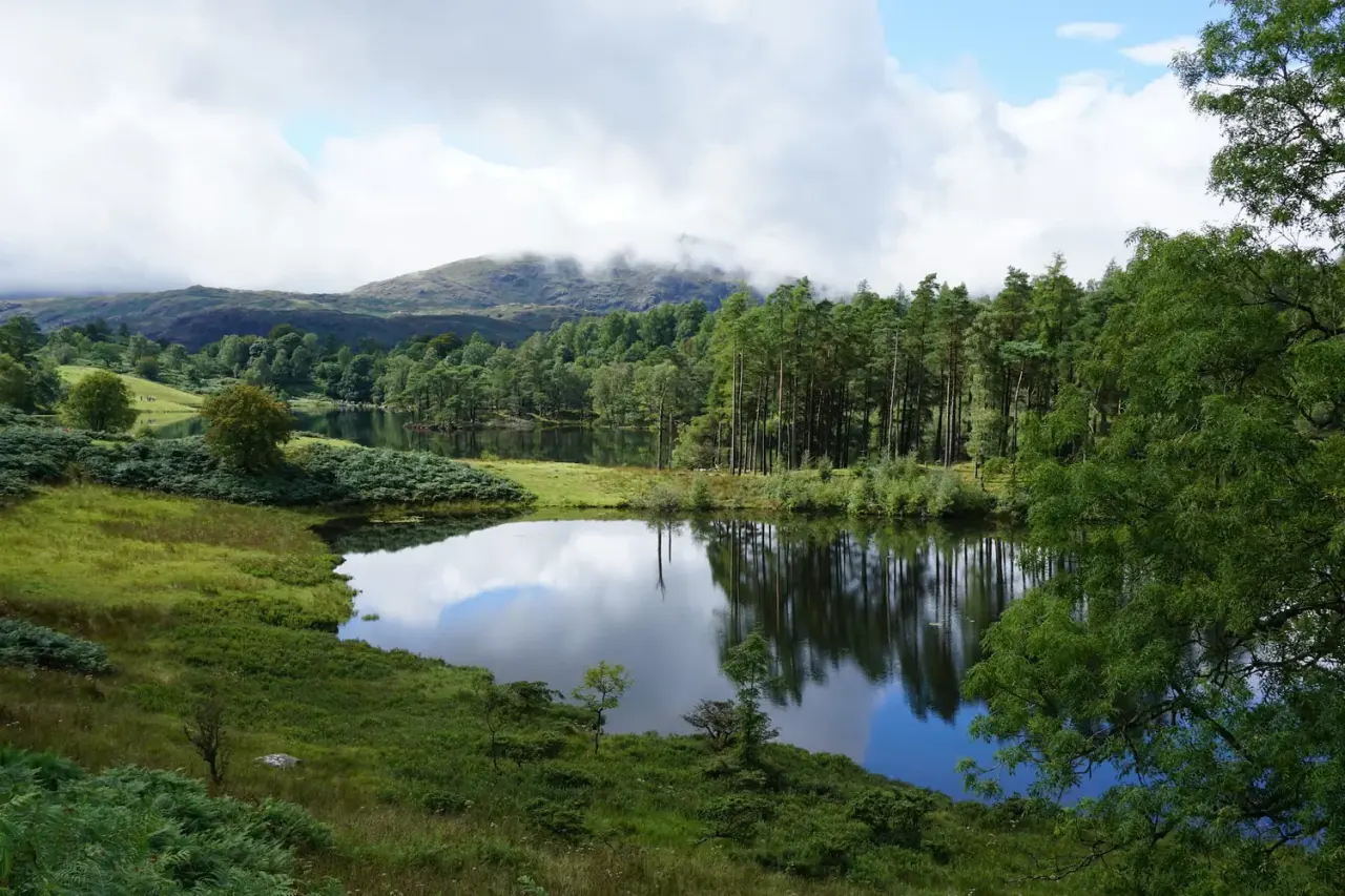
Tarn Hows & Tom Gill
A short Coniston circular via the Tom Gill waterfalls to Tarn Hows, with an OS map, free GPX download and honest parking and accessibility info.
Read guide: Tarn Hows & Tom Gill →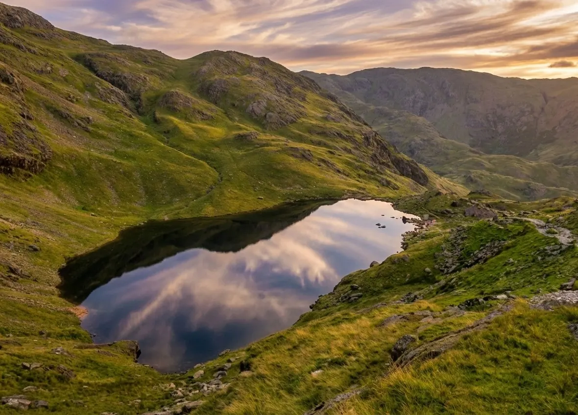
Old Man of Coniston
Old Man of Coniston circular walk: 8.1 km and 3.5–5 hours via Low Water and Goat's Water, with route map, free GPX, car park, difficulty and summit facts.
Read guide: Old Man of Coniston →
High Sweden Bridge
High Sweden Bridge circular walk from Ambleside: a 4.8 km route map up Scandale to the old packhorse bridge, with parking, timings, free GPX and lake views.
Read guide: High Sweden Bridge →
Rydal Caves
An easy circular walk from White Moss through woodland and along Rydal Water to a vast slate cavern with stepping stones. Free GPX, parking and tips.
Read guide: Rydal Caves →More walks in Coniston & Hawkshead →
Similar walks elsewhere
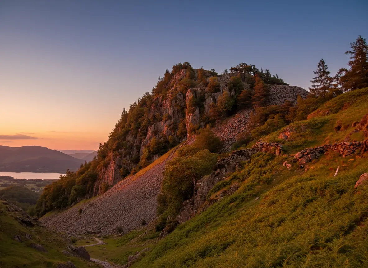
Castle Crag
A short, steep circular from Rosthwaite to Castle Crag, the smallest Wainwright, with Borrowdale views, slate quarries and a cave. Free GPX and tips.
Read guide: Castle Crag →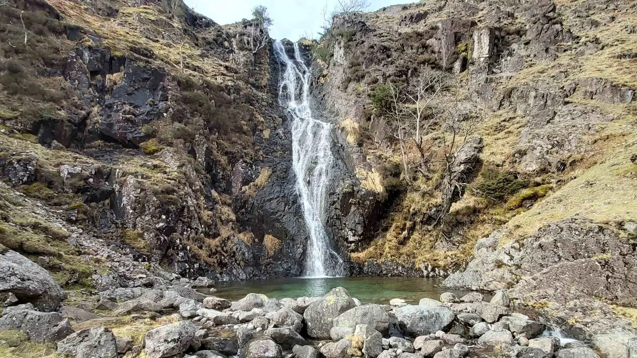
Whorneyside Force
A quiet route from the Old Dungeon Ghyll up Oxendale to a hidden Langdale waterfall, ending at a legendary hikers' pub. Free GPX, parking and tips.
Read guide: Whorneyside Force →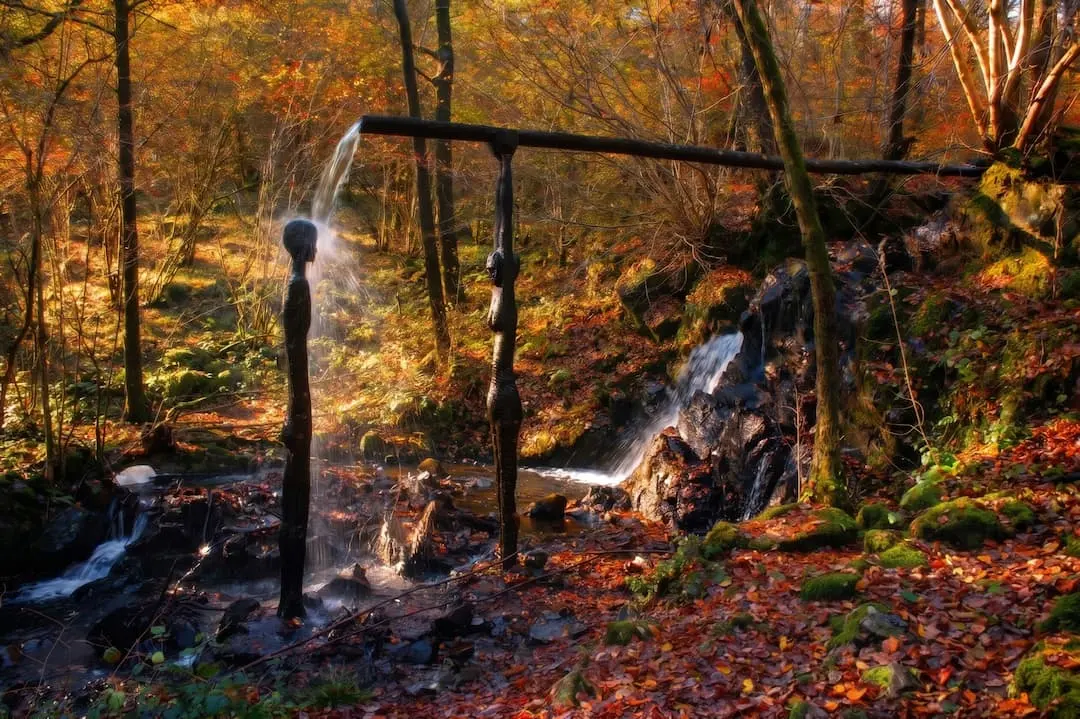
Force Falls, Grizedale
A circular walk through Grizedale Forest, its sculptures and Satterthwaite village to the hidden cascade of Force Falls. Free GPX, parking and tips.
Read guide: Force Falls, Grizedale →