 UKLakeDistrict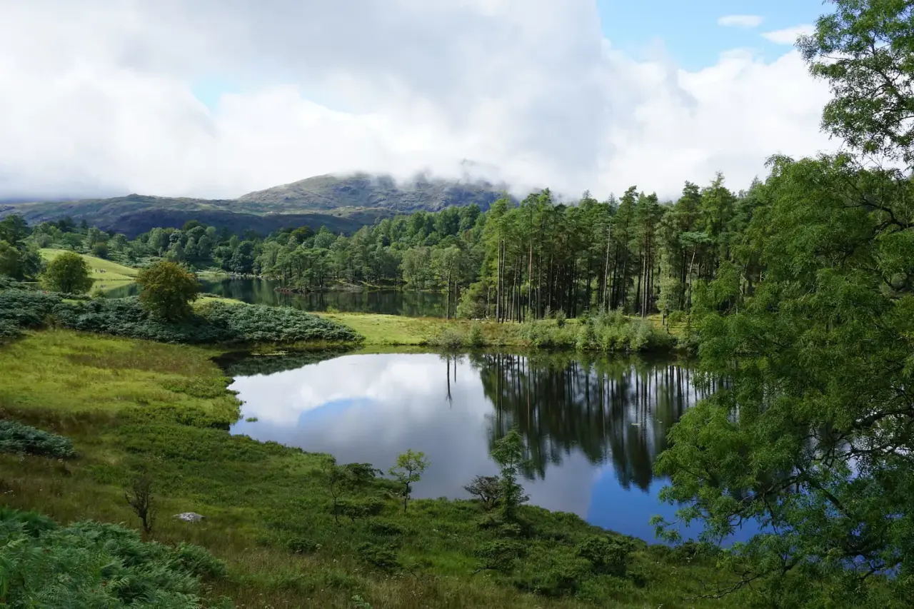
Tarn Hows & Tom Gill
Waterfall Walk · Coniston · Tarn Hows
A short Coniston circular via the Tom Gill waterfalls to Tarn Hows, with an OS map, free GPX download and honest parking and accessibility info.
Route map & downloads
Loading the interactive route map…
Map not included: carry OS Explorer OL7 and a compass.
- Start / parking
- National Trust Tom Gill (Glen Mary) car park
- Grid ref
- SD 321 999
- Parking
- Pay & display (free for National Trust members)
Step-by-step route
The Tarn Hows walk is one of the Lake District's true crowd-pleasers — but there's more than one way to do it, and the version most people never find is the best. From the car park at Glen Mary you climb a shaded, mossy ravine alongside Tom Gill, the little beck that drains Tarn Hows down towards Coniston, passing not one but two waterfalls on the way up. The first is a modest cascade, easy to walk straight past; but as the trees close in and the gorge deepens, the main fall appears — a slender white ribbon of around ten metres dropping over dark, wet rock. It's no Aira Force, but tucked into its narrow cleft of woodland it has a quiet drama all of its own, and it's at its most atmospheric after rain or, as our photos show, under a hard winter frost.
Then comes the moment the whole walk is built around: you step out of the trees and Tarn Hows opens up in front of you — a broad, island-dotted sheet of water ringed by pines with the Coniston fells rising behind. It's one of the most photographed views in Cumbria, and for good reason. Our route makes a partial circuit of the tarn before slipping away from the crowds onto an old byway and dropping back down a quiet valley path past little Yew Tree Tarn to the start. If you'd rather skip the climb, you can drive to the main Tarn Hows car park and simply walk the flat, wide, buggy- and wheelchair-friendly loop around the water instead — we explain both options below, so you can pick the one that suits your day. Download the GPX, check the forecast, and give yourself time to linger by the tarn.
Into Glen Mary
Leave the far end of the Glen Mary car park and follow the path up into the woods with Tom Gill tumbling along on your right. The climbing starts almost at once, but it's gentle and shaded, on a mix of made path and tree-root steps beneath oak and birch. This lower stretch is the prettiest part of the woodland — take it slowly and listen for the beck getting louder as the valley narrows ahead.
The Tom Gill Waterfalls
The first waterfall arrives as a broad little cascade sliding over bare rock — a pleasant enough sight, but only a warm-up. Keep climbing as the gorge tightens and darkens around you and the second, taller fall reveals itself: a clean white plume of roughly ten metres dropping through a slot in the crags. There are a couple of natural viewing spots here; the rock and the steps beside them stay greasy long after rain, so watch your footing and keep dogs and children close.
Out onto Tarn Hows
Above the falls the path eases and the trees suddenly fall away, and there it is — Tarn Hows spread out ahead, its wooded islands and reed-fringed bays backed by the Coniston fells. It's a proper "wow" moment after the enclosed climb, and a good place to pause before you join the busy shore path. Turn along the tarn to begin the circuit.
Around the Tarn
Follow the broad, well-made path that runs around the water. This is the stretch you'll share with families and day-trippers, and the benches dotted along it are perfectly placed for the views across to Wetherlam and the higher Coniston tops. Take your time reading the water — still mornings give the mirror reflections the tarn is famous for. Our route doesn't go all the way round; watch for where it peels off up to the left.
The Old Byway
Leaving the shore, a gate lets you onto an old byway that climbs gently away from the tarn and, almost immediately, away from the crowds. The character changes completely — bracken, scattered thorn trees and open views one minute, cool conifer plantation the next. It's an easy, quiet stretch of walking, and a good chance to feel like you've got the fellside to yourself again.
Yew Tree Tarn and Back
The byway brings you down to a quieter valley path that leads back towards the A593. On the way you pass Yew Tree Tarn, a small, dark, dam-made pool that's easy to miss and well worth the look — another mirror on a calm day. A final short stretch of path returns you through the trees to the Glen Mary car park where you started.
Route Essentials
- Two ways to walk it: Our route is the fuller 3.94-mile circular from Glen Mary, climbing past the Tom Gill waterfalls before reaching the tarn — more rewarding, but with a rocky, uneven ascent that isn't suitable for pushchairs or wheelchairs. If you just want the famous view with the least effort, drive instead to the main Tarn Hows car park and walk the flat, wide, roughly 1.9-mile loop around the water, which is buggy- and wheelchair-friendly. Same tarn, very different walk.
- Parking: The Glen Mary car park sits right on the A593 (grid ref SD 321 999) — sat-nav postcodes for this stretch don't land you exactly at the entrance, so head for this Google Maps pin instead. It's pay-and-display, and the National Trust car parks in this area typically take payment by card or the JustPark app rather than cash — National Trust members park free by scanning their membership card or checking in on the app. Check current tariffs on the National Trust website before you go — prices change and we don't want to quote you the wrong figure.
- Terrain and accessibility: The path around Tarn Hows itself is flat, firm and wide — genuinely one of the most accessible walks in the Lakes, and the National Trust offers all-terrain Tramper mobility scooters to use around the tarn from the main car park (donations welcome). Our route is different: the climb up through the Tom Gill ravine is on uneven, rocky, sometimes slippery steps and is not suitable for pushchairs, wheelchairs or Trampers. A baby carrier beats a buggy if you're set on the waterfall climb.
- Toilets and refreshments: There are toilets at the main Tarn Hows car park; there is no café at the tarn itself, though a refreshment van often parks up there in season. Coniston, a couple of miles away, has a wide choice of pubs and cafés for afterwards.
- Dogs: Welcome, but keep them on a lead — Tarn Hows is grazed by Belted Galloway cattle and Herdwick sheep, and the shoreline is ecologically sensitive.
- Swimming: Tarn Hows is not a swimming spot — the water and shoreline are protected for their sensitive plant and wildlife habitats, and swimming is discouraged. Enjoy the reflections from the bank instead.
- Best in frost or after rain: The Tom Gill waterfalls are slight in a dry spell but come alive after wet weather — and, as our winter photo shows, look their most magical under a hard frost. Tarn Hows itself is at its best on a still morning for the reflections, or in autumn when the surrounding trees turn.
- Safety Notice: The GPX file and route information on this page are for general guidance only. Always carry an OS map and compass, check the weather forecast, and tell someone your plans before setting out. You walk at your own risk.
Gallery
What to Bring
- Waterproof, grippy walking boots — the rock steps beside the Tom Gill waterfalls are slippery even in dry spells
- A waterproof jacket
- A spare warm layer — the ravine stays shaded and cool
- OS Explorer map OL7 (The English Lakes South-eastern area)
- A water bottle
- Snacks or a picnic — the tarn shore has lovely spots to sit, but no café on site
- A card or the JustPark app for the car park — and your National Trust card if you're a member
- A camera or phone — for the waterfall and the classic tarn reflections
- A dog lead, if you're bringing a dog
- Sun protection on bright days — the tarn circuit is open and exposed
Best Time to Visit
The Tom Gill waterfalls need water to impress, so this walk is best after a spell of rain — or, for something special, under a hard winter frost, when the falls rime up with ice. Tarn Hows itself is loveliest on a still, clear morning, when the pines and fells mirror perfectly in the water, and again in autumn as the surrounding trees colour up. As one of the most visited spots in the Lake District, the tarn gets genuinely busy on summer weekends and in school holidays — arrive early or come midweek for quieter paths and an easier time parking.
Local Weather (yr.no)

Forecast provided by yr.no
Safety Information
Important: The GPX file and route description on this page are for general guidance only and should not be relied upon as a sole means of navigation. GPX tracks are approximate and may not reflect current ground conditions, path diversions, or seasonal changes.
Always carry an Ordnance Survey map and a compass, and know how to use them. Check the weather forecast before setting out, tell someone your planned route and expected return time, and wear appropriate footwear and clothing for the conditions. In an emergency dial 999, ask for the Police, then Mountain Rescue. Read our fell safety guide before your first walk.
UKLakeDistrict.com accepts no responsibility for any loss, injury, or damage arising from the use of route information or GPX files provided on this site. You walk entirely at your own risk.
Tarn Hows: The Story Behind the View & How to Make a Day of It
The making of a 'natural' landscape
Tarn Hows is often described as the most beautiful tarn in the Lake District — and yet it's one of its most artificial. Until the mid-19th century the site held a few small tarns and an area of boggy ground known locally as "The Tarns". In the 1860s, landowner James Garth Marshall, a member of a wealthy Leeds flax-spinning family who owned several Lakeland estates, built a dam on the outflow to raise the water level and merge them into the single sheet of water you see today.
Marshall also planted the surrounding slopes with conifers and ornamental trees, deliberately creating the kind of "picturesque" scenery admired by Victorian visitors. More than 150 years on, the result looks so natural that few people guess it was designed. The tarn's outflow is Tom Gill — the very beck whose waterfalls you climb beside at the start of this walk.
Beatrix Potter's gift
In 1930 Beatrix Potter bought the Monk Coniston estate, which included Tarn Hows, and sold half of it to the National Trust at the price she had paid. She managed the Trust's share on its behalf and left the remainder to the nation when she died in 1943. It's thanks to her foresight that Tarn Hows, its farms and the woods around Glen Mary remain open to everyone today. To learn more about her life, visit the Beatrix Potter Gallery in nearby Hawkshead or her farmhouse at Hill Top in Near Sawrey.
Photography at Tarn Hows
Tarn Hows is one of the most photographed places in Cumbria, and a little planning goes a long way:
- Reflections: come on a still, windless morning — ideally soon after sunrise — when the water is glassy and the islands and pines are mirrored perfectly.
- Classic viewpoint: the slope above the southern end of the tarn, near the main car park, gives the iconic view north across the islands to the Coniston fells and Wetherlam.
- Autumn colour: from mid-October the larches around the shore turn gold, and the bracken on the surrounding fellsides glows russet in low sun.
- The waterfalls: the Tom Gill falls sit in shade for much of the day, so an overcast sky gives more even light. A small tripod lets you use a slow shutter speed to smooth the water.
- Winter: a hard frost or a dusting of snow transforms both the tarn and the falls — one of our favourite times to walk this route.
On the Cumbria Way
Tarn Hows lies on the Cumbria Way, the 70-mile long-distance path that runs from Ulverston to Carlisle through the heart of the Lake District. Northbound walkers climb from Coniston to Tarn Hows before descending towards Skelwith Bridge and Great Langdale. If you enjoy the idea of linking walks together, the Cumbria Way starts at the foot of our Hoad Hill walk in Ulverston and continues past our Whorneyside Force walk in Langdale.
Make a day of it: Coniston, Hawkshead and nearby walks
Glen Mary sits between two of the southern Lakes' most appealing villages. Coniston, a couple of miles south, has pubs, cafés, the Ruskin Museum and cruises on Coniston Water aboard the Victorian steam yacht Gondola. Hawkshead, to the east, is a characterful village of whitewashed cottages and courtyards, with the old grammar school where William Wordsworth was a pupil.
This route shares its start with our Black Crag walk, which adds the summit of a Wainwright fell to the waterfalls and tarn — the perfect upgrade on a clear day. For a proper mountain, the Old Man of Coniston rises above the village, and families will love the woodland cascade and sculptures on our Force Falls walk in Grizedale Forest, just over the hill.
Guide last updated .
Frequently Asked Questions
How long is the Tarn Hows walk?
It depends which version you do. Our full circular from Glen Mary, climbing past the Tom Gill waterfalls, is 6.35 km (3.94 miles) with 181 m of ascent and takes around 2–2½ hours — the GPX is free to download on this page. If you just want the flat loop around the tarn from the main car park, that's roughly 1.9 miles and takes most people 45 minutes to an hour.
Where do you park for Tarn Hows?
There are two National Trust car parks. For our fuller circular via the waterfalls, start from the Glen Mary (Tom Gill) car park on the A593 (grid ref SD 321 999) — the sat-nav postcode can drop you short of it, so navigate to this Google Maps pin. For the short flat loop around the water, use the main Tarn Hows car park higher up. Both fill quickly in peak season, so arrive early.
Is the Tarn Hows walk suitable for pushchairs and wheelchairs?
The path around the tarn itself is flat, firm and wide, and is one of the most accessible walks in the Lakes — the National Trust even offers all-terrain Tramper scooters from the main car park. Our route is different: the climb up through the Tom Gill ravine has rocky, uneven steps and is not suitable for pushchairs or wheelchairs.
How high are the Tom Gill waterfalls?
The main fall drops around 10 metres (about 30 feet) through a narrow, wooded ravine, with a smaller cascade lower down. They're modest by Lakeland standards but atmospheric — and much fuller after rain.
How was Tarn Hows formed?
Tarn Hows looks entirely natural but is largely man-made. In the 1860s the landowner James Garth Marshall dammed the outflow beck to merge smaller natural tarns into the single sheet of water seen today, and the surrounding woodland was planted. It later formed part of the Monk Coniston estate that Beatrix Potter helped pass to the National Trust.
Are dogs allowed at Tarn Hows?
Yes, dogs are welcome, but must be kept on a lead — the area is grazed by Belted Galloway cattle and Herdwick sheep, and the tarn shoreline is a sensitive wildlife habitat.
Can you swim in Tarn Hows?
No — Tarn Hows is not a swimming spot. The water and shoreline are protected for their sensitive plant and wildlife habitats, and swimming is discouraged. Enjoy the views and reflections from the bank instead.
When is the best time to visit Tarn Hows?
Early mornings and midweek are quietest and best for parking. Visit a still morning for the famous mirror reflections, after rain or in frost for the Tom Gill waterfalls at their best, and autumn for the colour in the surrounding trees.
Nearby walks
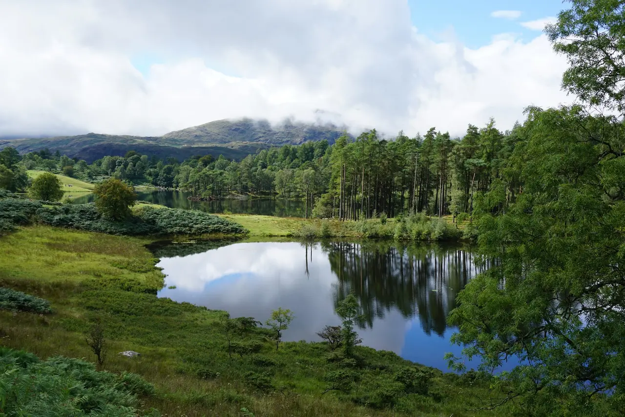
Black Crag & Tarn Hows
A circular walk linking the Tom Gill waterfalls, Tarn Hows and the Wainwright summit of Black Crag above Coniston. Free GPX, parking and timings.
Read guide: Black Crag & Tarn Hows →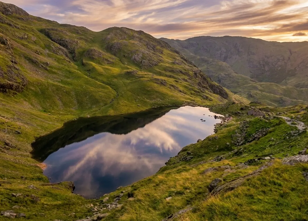
Old Man of Coniston
Old Man of Coniston circular walk: 8.1 km and 3.5–5 hours via Low Water and Goat's Water, with route map, free GPX, car park, difficulty and summit facts.
Read guide: Old Man of Coniston →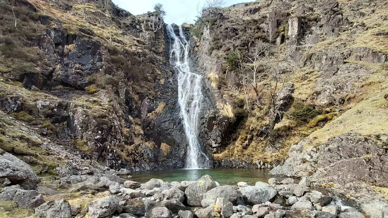
Whorneyside Force
A quiet route from the Old Dungeon Ghyll up Oxendale to a hidden Langdale waterfall, ending at a legendary hikers' pub. Free GPX, parking and tips.
Read guide: Whorneyside Force →
Rydal Caves
An easy circular walk from White Moss through woodland and along Rydal Water to a vast slate cavern with stepping stones. Free GPX, parking and tips.
Read guide: Rydal Caves →More walks in Coniston & Hawkshead →
Similar walks elsewhere
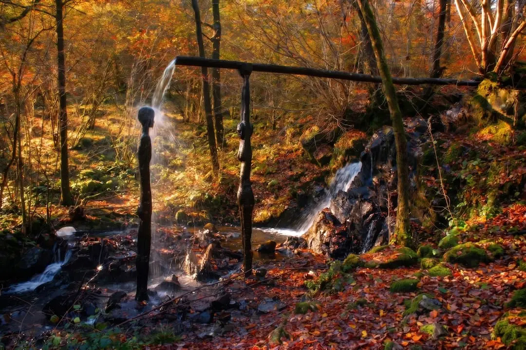
Force Falls, Grizedale
A circular walk through Grizedale Forest, its sculptures and Satterthwaite village to the hidden cascade of Force Falls. Free GPX, parking and tips.
Read guide: Force Falls, Grizedale →
Stanley Ghyll Force
Walk from Dalegarth Station through a rhododendron gorge to Stanley Ghyll Force, a 60ft waterfall with a cantilevered viewing platform. Free GPX.
Read guide: Stanley Ghyll Force →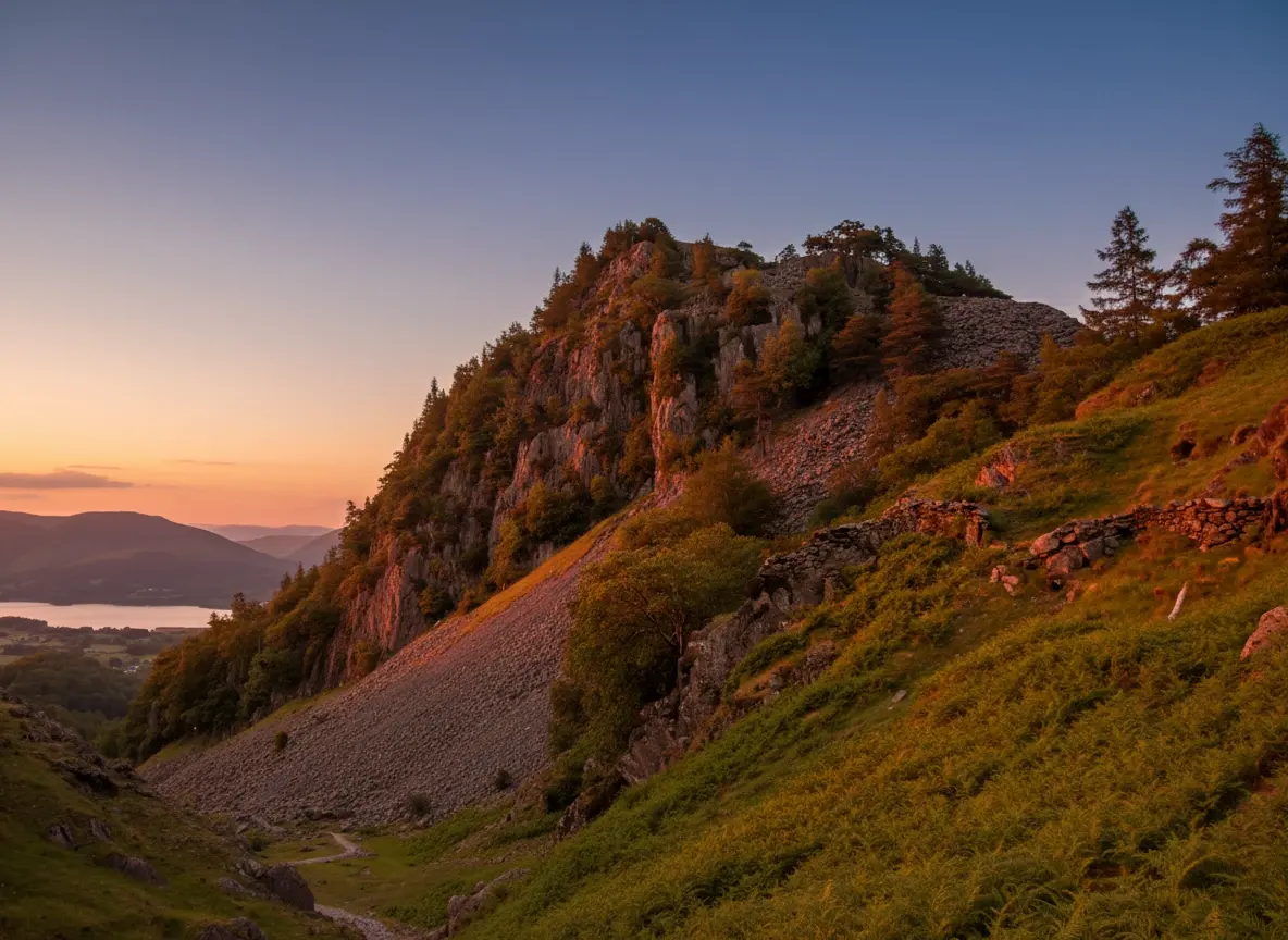
Castle Crag
A short, steep circular from Rosthwaite to Castle Crag, the smallest Wainwright, with Borrowdale views, slate quarries and a cave. Free GPX and tips.
Read guide: Castle Crag →