 UKLakeDistrict
Westmorland & Furness Way
Long-Distance Trail · Alston to Furness Abbey · 120 miles · Opened September 2026
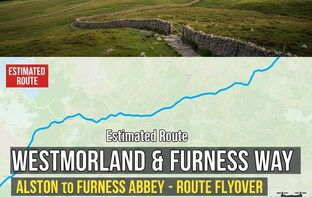
Route map of the 120-mile Westmorland & Furness Way from Alston to Furness Abbey: all six official sections, distances, where to stay and a free GPX.
Route map & downloads
Loading the interactive route map…
Map not included: carry the relevant OS Explorer maps and a compass.
Route overview & stages
The <strong>Westmorland & Furness Way</strong> is England's newest long-distance walking trail — a <strong>120-mile (193 km)</strong> crossing of Cumbria from <strong>Alston</strong>, England's highest market town, to the red-sandstone ruins of <strong>Furness Abbey</strong>. Developed by Westmorland and Furness Council from an idea by local walker and guidebook writer David Pitt, it was <strong>officially launched on 15 September 2026</strong> at the Sedbergh Walking and Wellbeing Festival. The trail is split into <strong>six official sections</strong> and links four protected landscapes in one journey: the North Pennines National Landscape, the Yorkshire Dales National Park, the Lake District National Park and the shores of Morecambe Bay. Along the way you cross the Eden Valley, the Howgill Fells, Windermere and the low Furness fells. Our free <strong>GPX route map</strong> follows the line through every section town (Milburn, Kirkby Stephen, Sedbergh, Bowness and Ulverston) and measures about <strong>188 km with 4,350 m of ascent</strong>. Most people take <strong>8 to 17 days</strong> to walk it end to end, or walk it a section at a time over day trips and long weekends.
The North Pennines & Eden Valley
The trail begins in Alston, England's highest market town, and climbs over the North Pennines, a UNESCO Global Geopark of high moorland and big skies. It then drops west into the pastoral Eden Valley, following the river through red-sandstone villages towards Kirkby Stephen. Ancient stone circles and limestone country along this stretch hint at thousands of years of settlement.
The Howgills, the Dales and the Lakes
From Kirkby Stephen the route crosses into the Yorkshire Dales National Park and the smooth, rounded Howgill Fells to reach Sedbergh, England's Book Town. The longest section then carries you west from the Dales into the Lake District National Park, finishing on the shores of Windermere at Bowness.
Furness Woodlands, Coast & Abbey
The last two sections swap fell for woodland and shore. The trail threads through the Furness woodlands and foothills to the market town of Ulverston, then follows the Furness coast beside Morecambe Bay to finish at Furness Abbey. Once one of the richest Cistercian monasteries in England, the abbey makes a fitting end to the walk.
Section 1 — Over the Pennines: Alston to Milburn (16 miles / 26 km)
From <strong>Alston</strong> the trail climbs onto the high, exposed moorland of the <strong>North Pennines National Landscape</strong>, a UNESCO Global Geopark, before dropping down the steep western escarpment to the village of <strong>Milburn</strong> at the edge of the Eden Valley. It's remote, high and committing, so carry a map and compass from day one. Allow 1–2 days.
Section 2 — Following the Eden: Milburn to Kirkby Stephen (23 miles / 38 km)
A gentler section through the pastoral <strong>Eden Valley</strong>, passing close to <strong>Appleby-in-Westmorland</strong> and following the river through red-sandstone villages and farmland to the market town of <strong>Kirkby Stephen</strong>. It's mostly lower-level riverside and field walking, a restful contrast to the Pennine start. Allow 2–3 days.
Section 3 — Exploring the Dales and Howgills: Kirkby Stephen to Sedbergh (16 miles / 25 km)
Into the <strong>Yorkshire Dales National Park</strong> and over the smooth, whale-backed <strong>Howgill Fells</strong>, which some walkers call 'the sleeping elephants'. This is quiet, spacious ridge walking with far fewer people than the central Lakes, ending in <strong>Sedbergh</strong>, England's Book Town. Allow 1–3 days.
Section 4 — From the Dales to the Lakes: Sedbergh to Bowness (27 miles / 43 km)
The longest section crosses from the Dales into the <strong>Lake District National Park</strong>, through rolling farmland and wooded valleys to the shore of <strong>Windermere</strong> at <strong>Bowness</strong>. Most walkers split it over two or more days. Bowness and Windermere have everything you need to restock. Allow 2–4 days.
Section 5 — Through Furness Woodlands and Foothills: Bowness to Ulverston (21 miles / 34 km)
South from Windermere through ancient woodland, low fells and traditional farmland to the market town of <strong>Ulverston</strong>, where the <a href="/walks/hoad/">Hoad Hill monument</a> marks the way in. Field paths, quiet lanes and the first glimpses of Morecambe Bay set the tone for the finish. Allow 1–3 days.
Section 6 — Along the Furness Coast: Ulverston to Furness Abbey (17 miles / 27 km)
The final section follows the <strong>Furness coast</strong> beside the sands of Morecambe Bay before turning inland to finish at the red-sandstone arches of <strong>Furness Abbey</strong>, on the edge of Barrow-in-Furness. Standing in the ruins after walking from the high Pennines is a memorable end to the trail. Allow 1–2 days.
Route Essentials
- Navigation: the trail has new signage and interpretation boards, but it crosses remote Pennine and Howgill moorland where waymarks are sparse and mist is common. Carry the relevant OS maps, a compass, and a phone or GPS with our GPX route loaded offline.
- Footwear & kit: the terrain runs from boggy moorland and rocky fell to hard-surfaced lanes, so wear sturdy, well-broken-in waterproof boots and pack full waterproofs and warm layers for the high ground.
- Logistics: plan your nights around the section towns (Milburn, Kirkby Stephen, Sedbergh, Bowness and Ulverston). Book ahead in peak season and carry enough food and water for the remote Pennine and Howgill days.
- Fitness & pacing: 120 miles with around 4,350 m of ascent is a serious multi-day walk. 8 to 17 days covers most walkers. Section 4 (Sedbergh to Bowness, 27 miles) is the longest, so plan to split it.
- Walker's Passport: collect stamps at participating venues along the trail. See the official Westmorland and Furness Way pages on Visit Lake District for the current list of stamping points.
- Safety notice: the GPX file and route information on this page are a guide only. Always carry an OS map and compass, check the mountain forecast, follow the official waymarking where it differs from our GPX, and tell someone your plans. You walk at your own risk.
Gallery
Video Guide
What to Bring
- Sturdy, waterproof, well-broken-in walking boots
- Full waterproofs — jacket and over-trousers
- Warm layers, hat and gloves for the high ground
- Full set of OS maps and a compass
- GPS device or phone with the route loaded offline
- Power bank and charging cables
- Rucksack suited to multi-day carrying
- Water bottles/bladder and purification for remote stages
- High-energy food and emergency rations
- First-aid kit, blister care and emergency shelter
- Head torch with spare batteries
- Pre-booked accommodation list, Walker's Passport and cash for rural stops
Best Time to Walk It
The best window for the Westmorland & Furness Way is late spring to early autumn (May–September), when the long daylight hours, drier ground and more settled weather make the high Pennine and Howgill sections far safer and more enjoyable. Early summer offers the longest days for big mileage; September brings quieter paths and often stable conditions. The Eden Valley and Furness sections are walkable much of the year, but the exposed northern moorland can be bleak, boggy and prone to mist and harsh weather in winter, so the full end-to-end route is best avoided outside the main season unless you're experienced in winter hill conditions.
Local Weather (yr.no)

Forecast provided by yr.no
Mountain forecasts
Summit conditions can be far colder, windier and cloudier than the valley. Check a specialist mountain forecast before you set out:
Safety Information
Important: The GPX file and route description on this page are for general guidance only and should not be relied upon as a sole means of navigation. GPX tracks are approximate and may not reflect current ground conditions, path diversions, or seasonal changes.
Always carry an Ordnance Survey map and a compass, and know how to use them. Check the weather forecast before setting out, tell someone your planned route and expected return time, and wear appropriate footwear and clothing for the conditions. In an emergency dial 999, ask for the Police, then Mountain Rescue. Read our fell safety guide before your first walk.
UKLakeDistrict.com accepts no responsibility for any loss, injury, or damage arising from the use of route information or GPX files provided on this site. You walk entirely at your own risk.
Planning the Westmorland & Furness Way
Westmorland & Furness Way at a glance
The Westmorland & Furness Way (sometimes misspelt "Westmoreland and Furness Way") is a 120-mile (193 km) waymarked long-distance trail across Cumbria. It runs from Alston in the North Pennines to Furness Abbey near Barrow-in-Furness, in six sections, and was officially launched on 15 September 2026. One walk takes in the North Pennines National Landscape, the Yorkshire Dales National Park, the Lake District National Park and Morecambe Bay.
| Section | From – to | Distance | Typical days | Transport at the finish |
|---|---|---|---|---|
| 1. Over the Pennines | Alston – Milburn | 16 mi / 26 km | 1–2 | Limited rural buses; Appleby station is the nearest railhead |
| 2. Following the Eden | Milburn – Kirkby Stephen | 23 mi / 38 km | 2–3 | Kirkby Stephen station on the Settle–Carlisle line |
| 3. Exploring the Dales and Howgills | Kirkby Stephen – Sedbergh | 16 mi / 25 km | 1–3 | Buses towards Kendal and Oxenholme |
| 4. From the Dales to the Lakes | Sedbergh – Bowness | 27 mi / 43 km | 2–4 | Windermere station; frequent buses and lake cruises |
| 5. Through Furness Woodlands and Foothills | Bowness – Ulverston | 21 mi / 34 km | 1–3 | Ulverston station on the Furness Line |
| 6. Along the Furness Coast | Ulverston – Furness Abbey | 17 mi / 27 km | 1–2 | Stations at Barrow-in-Furness and Dalton |
Section names and distances are the official figures from Westmorland and Furness Council. Rural bus services can be limited, so check current timetables with Traveline before you travel. For the official route pages, suggested itineraries and the Walker's Passport, see Visit Lake District.
Who created the Westmorland & Furness Way?
The idea came from David Pitt, a local walker and guidebook writer whose first long-distance trail was Alfred Wainwright's Coast to Coast in 1978. Westmorland and Furness Council, the unitary authority created in 2023 for the old Eden, South Lakeland and Barrow districts, developed his concept into a signed route through its Countryside Access Team, working with local organisations and volunteers. It was opened during the 2026 Sedbergh Walking and Wellbeing Festival.
Journey's end: the story of Furness Abbey
The Way finishes at one of the great monastic ruins of northern England. Furness Abbey was founded in 1123 by Stephen, Count of Boulogne — later King Stephen — for monks of the Savigniac order, who merged with the Cistercians in 1147. Over the next four centuries it became one of the wealthiest Cistercian houses in the country, owning vast tracts of land across Furness and the southern Lakes, including farms, fisheries, iron workings and woodland.
The abbey was surrendered to Henry VIII in 1537 during the Dissolution of the Monasteries, and its buildings were stripped and left to decay. What remains — soaring arches of red sandstone in the quiet "Vale of Deadly Nightshade" — is now cared for by English Heritage. Check opening times before you arrive, and allow time to explore: it's a fitting place to finish a journey across the county.
Training and preparation
With more than 4,300 metres of ascent spread over around 188 km, the Way is a serious undertaking. In the months before you set off, build up to walking back-to-back long days carrying the pack you'll use, ideally on mixed terrain including rough moorland. Break in your boots well in advance and test your full waterproofs in bad weather — blisters and wet kit are what end most long-distance walks early.
Navigation matters, too. Waymarks are sparse on the open moorland, so practise using your GPX track alongside a paper map and compass, and know how to take a bearing in mist before you reach the high Pennine and Howgill sections. Load the route onto more than one device and carry a power bank.
Accommodation, baggage and camping
Most walkers use a mix of B&Bs, inns, hostels and campsites. Accommodation in the smaller villages is limited and books up fast in summer, so reserve your key nights well ahead. Some local taxi firms will move bags between overnight stops by arrangement, which makes the high days far more enjoyable.
Note that wild camping is not legally permitted in England without the landowner's consent (outside a few specific areas), so plan to use campsites or ask permission. If you do camp discreetly on high ground with permission, arrive late, leave early, never light fires, and leave no trace.
Walking responsibly across Cumbria
The route crosses farmland, open access land, grouse moor and national park. Follow the Countryside Code: leave gates as you find them, keep dogs under close control around livestock and ground-nesting birds (on a lead between March and July on access land), and take all litter home. Be aware that some upland areas may be temporarily closed for land management or during the lambing season, so check local notices as you go.
If you'd like a taste of the landscapes before committing to the full walk, try some of our day walks along its corridor: Hoad Hill in Ulverston on the final stages, Gummer's How near the southern end of Windermere, or High Sweden Bridge from Ambleside. Browse all our guides on the Lake District walks page.
Guide last updated .
Frequently Asked Questions
How long is the Westmorland & Furness Way?
The Westmorland & Furness Way is officially 120 miles (193 km) long, from Alston in the North Pennines to Furness Abbey on the Furness peninsula. Our GPX trace of the route measures about 188 km with 4,346 m of total ascent. Most walkers take 8 to 17 days end to end, and it's split into six sections of 16 to 27 miles that you can walk one at a time.
When did the Westmorland & Furness Way open?
The trail was officially launched on 15 September 2026 during the Sedbergh Walking and Wellbeing Festival (14–20 September 2026). It was developed by Westmorland and Furness Council's Countryside Access Team with local organisations and volunteers, building on an original idea by local walker and guidebook writer David Pitt.
What are the six sections of the Westmorland & Furness Way?
- Over the Pennines: Alston to Milburn, 16 miles (26 km)
- Following the Eden: Milburn to Kirkby Stephen, 23 miles (38 km)
- Exploring the Dales and Howgills: Kirkby Stephen to Sedbergh, 16 miles (25 km)
- From the Dales to the Lakes: Sedbergh to Bowness, 27 miles (43 km)
- Through Furness Woodlands and Foothills: Bowness to Ulverston, 21 miles (34 km)
- Along the Furness Coast: Ulverston to Furness Abbey, 17 miles (27 km)
Is there a route map or GPX for the Westmorland & Furness Way?
Yes. The interactive route map near the top of this page shows the whole trail, and you can download the GPX file for free to load into OS Maps, Komoot, a Garmin or your phone. Our GPX follows the trail through every section town. Where it differs from the official waymarking on the ground, follow the waymarks. The official route pages are on Visit Lake District.
Is the Westmorland & Furness Way waymarked?
Yes. The trail launched with new signage and interpretation boards along the route. Waymarks are sparse on the open Pennine and Howgill moorland, though, and cloud can come down quickly up there. Always carry a map and compass as well as the GPX.
How hard is the Westmorland & Furness Way?
Overall it's a challenging multi-day walk. The Eden Valley, Furness woodlands and coast are gentle lowland walking. The North Pennine crossing from Alston and the Howgill Fells are remote, exposed upland that needs fitness and confident navigation. With around 4,350 m of ascent over 120 miles, the full trail suits experienced long-distance walkers. Single sections are a good way to start.
When is the best time of year to walk it?
The best time is May to September, when daylight is long and the high ground is driest. The Eden Valley and Furness sections can be walked most of the year. The exposed North Pennine and Howgill moorland is prone to mist, bog and harsh weather in winter. Always check the mountain forecast before a high section.
Where do you stay on the Westmorland & Furness Way?
Plan your nights around the section towns: Alston, Milburn, Kirkby Stephen, Sedbergh, Bowness/Windermere and Ulverston. Kirkby Stephen, Windermere and Ulverston also have railway stations, so walking it in sections is easy. Rural accommodation is limited, so book ahead in summer. You can also collect stamps in the trail's Walker's Passport at participating venues along the way.
Day walks near the route
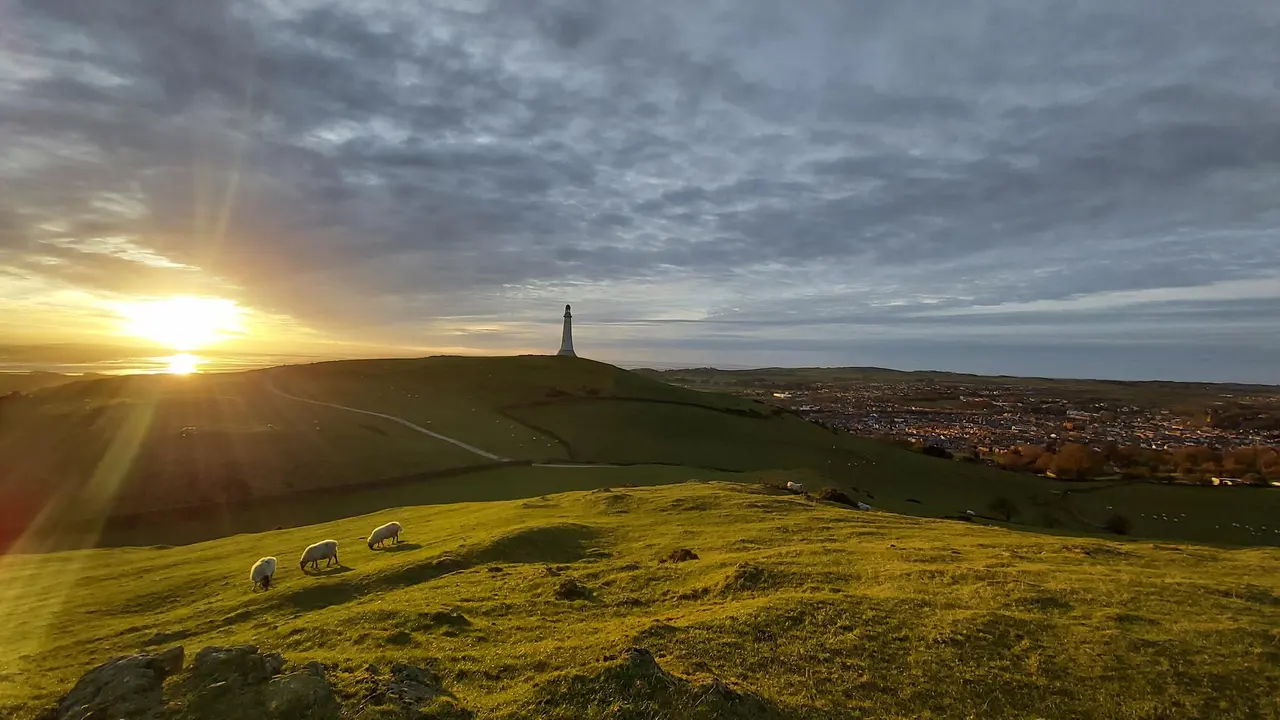
Hoad Hill
Hoad Hill walk from Ulverston town centre to the Sir John Barrow Monument, the 'lighthouse' on the Hoad: route map, parking, free GPX and Morecambe Bay views.
Read guide: Hoad Hill →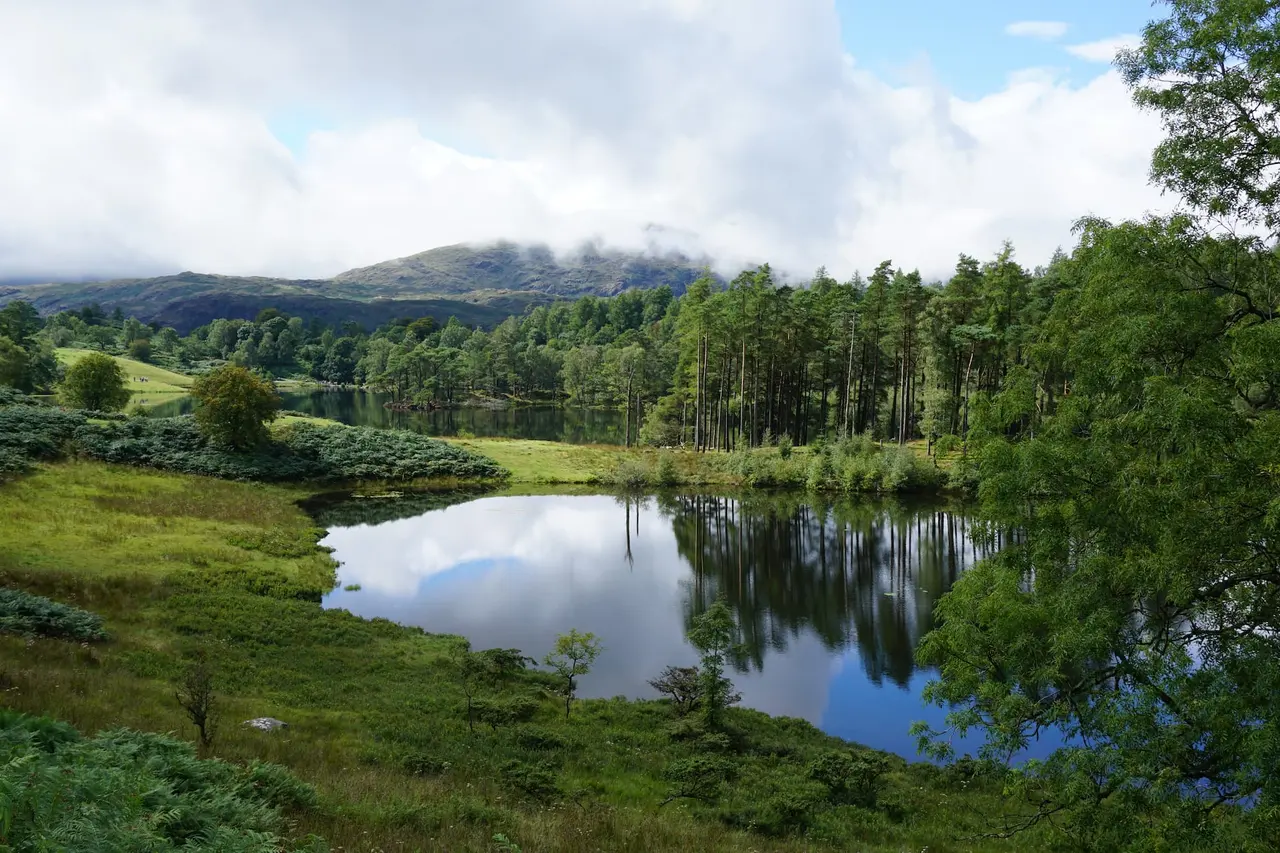
Black Crag & Tarn Hows
A circular walk linking the Tom Gill waterfalls, Tarn Hows and the Wainwright summit of Black Crag above Coniston. Free GPX, parking and timings.
Read guide: Black Crag & Tarn Hows →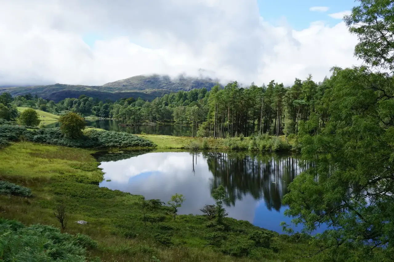
Tarn Hows & Tom Gill
A short Coniston circular via the Tom Gill waterfalls to Tarn Hows, with an OS map, free GPX download and honest parking and accessibility info.
Read guide: Tarn Hows & Tom Gill →
High Sweden Bridge
High Sweden Bridge circular walk from Ambleside: a 4.8 km route map up Scandale to the old packhorse bridge, with parking, timings, free GPX and lake views.
Read guide: High Sweden Bridge →
Old Man of Coniston
Old Man of Coniston circular walk: 8.1 km and 3.5–5 hours via Low Water and Goat's Water, with route map, free GPX, car park, difficulty and summit facts.
Read guide: Old Man of Coniston →
Rydal Caves
An easy circular walk from White Moss through woodland and along Rydal Water to a vast slate cavern with stepping stones. Free GPX, parking and tips.
Read guide: Rydal Caves →