 UKLakeDistrict
Lake District Walks
Every route guide on UK Lake District in one place. Filter by area, grade, length, time, dogs and more, and every guide comes with an interactive Ordnance Survey route map, a free GPX download and a live weather forecast.
Walks
15 walks

High Sweden Bridge
High Sweden Bridge circular walk from Ambleside: a 4.8 km route map up Scandale to the old packhorse bridge, with parking, timings, free GPX and lake views.
Read guide: High Sweden Bridge →
Rydal Caves
An easy circular walk from White Moss through woodland and along Rydal Water to a vast slate cavern with stepping stones. Free GPX, parking and tips.
Read guide: Rydal Caves →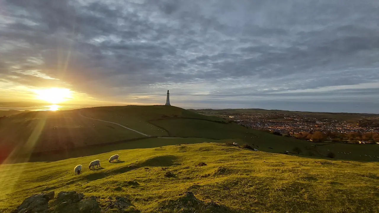
Hoad Hill
Hoad Hill walk from Ulverston town centre to the Sir John Barrow Monument, the 'lighthouse' on the Hoad: route map, parking, free GPX and Morecambe Bay views.
Read guide: Hoad Hill →
Gummer's How
Gummer's How walk: a 2.7 km family-friendly climb from a free Forestry England car park to a 321 m summit above Windermere. Route map, free GPX and tips.
Read guide: Gummer's How →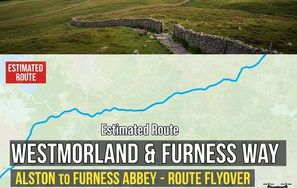
Westmorland & Furness Way
Route map of the 120-mile Westmorland & Furness Way from Alston to Furness Abbey: all six official sections, distances, where to stay and a free GPX.
Read guide: Westmorland & Furness Way →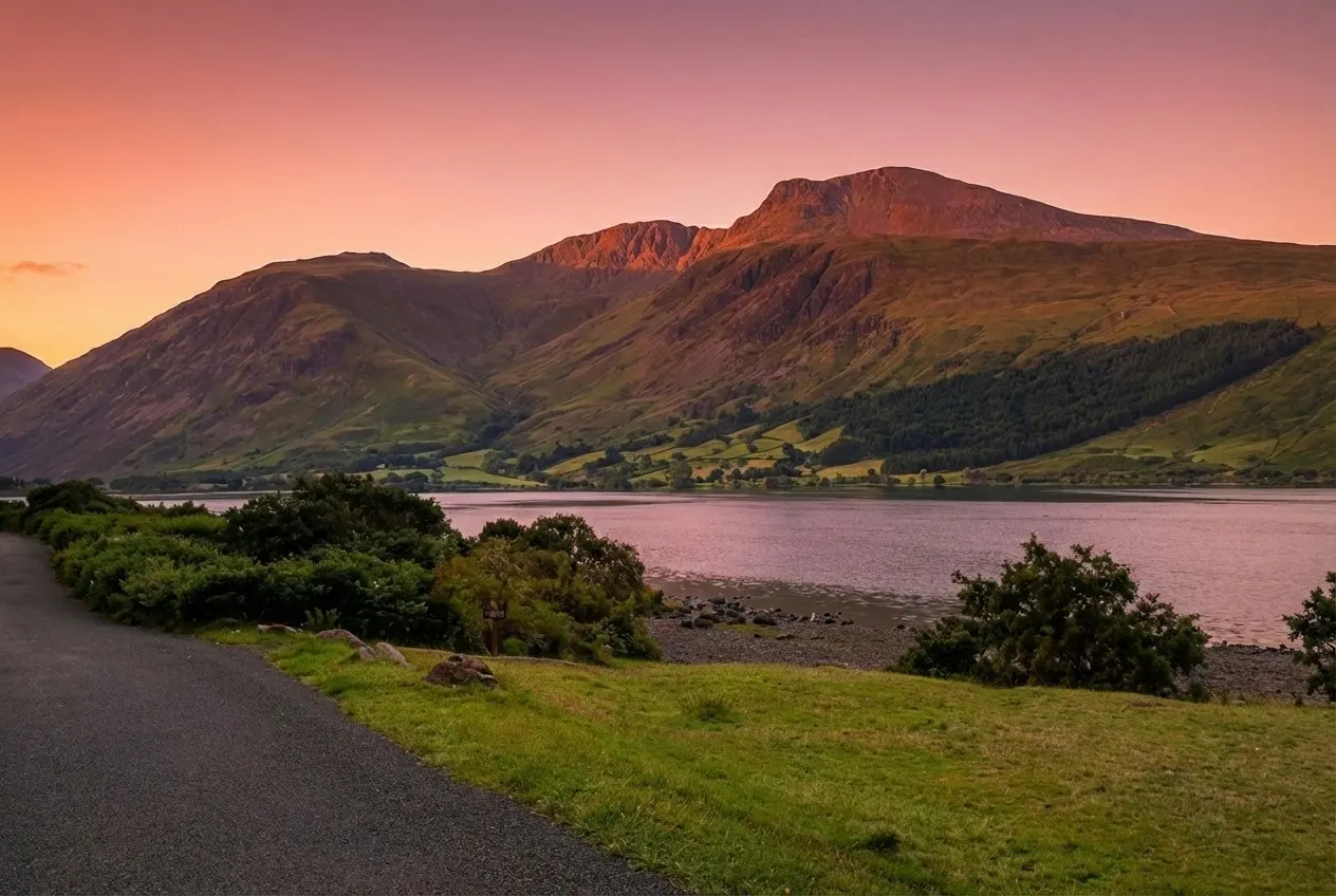
Scafell Pike from Wasdale
The shortest route to England's highest summit: our Scafell Pike walk from Wasdale Head, with free GPX, parking, the Brown Tongue climb and safety tips.
Read guide: Scafell Pike from Wasdale →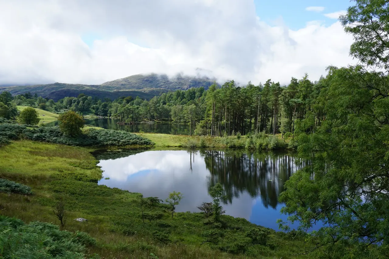
Black Crag & Tarn Hows
A circular walk linking the Tom Gill waterfalls, Tarn Hows and the Wainwright summit of Black Crag above Coniston. Free GPX, parking and timings.
Read guide: Black Crag & Tarn Hows →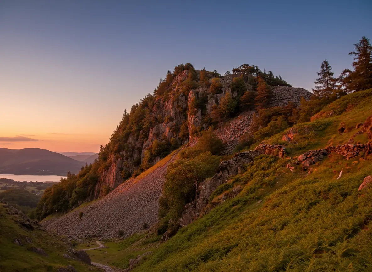
Castle Crag
A short, steep circular from Rosthwaite to Castle Crag, the smallest Wainwright, with Borrowdale views, slate quarries and a cave. Free GPX and tips.
Read guide: Castle Crag →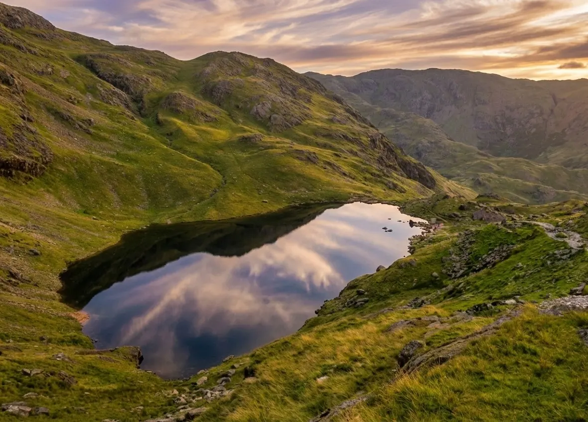
Old Man of Coniston
Old Man of Coniston circular walk: 8.1 km and 3.5–5 hours via Low Water and Goat's Water, with route map, free GPX, car park, difficulty and summit facts.
Read guide: Old Man of Coniston →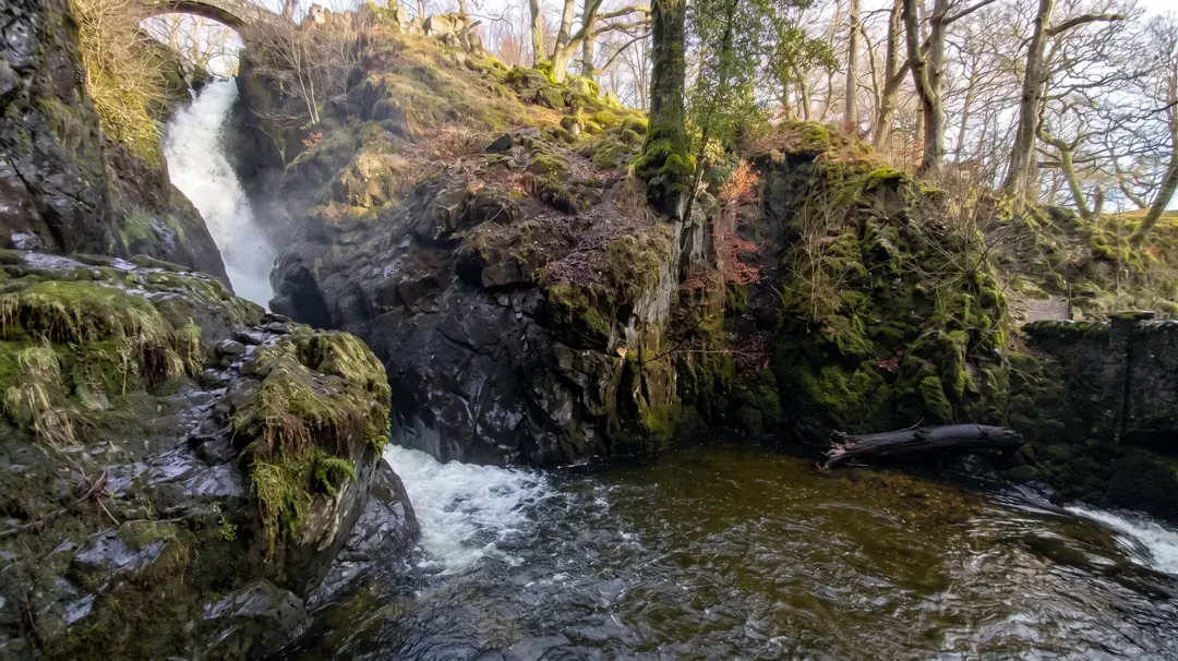
Aira Force & Gowbarrow
Discover the 65ft Aira Force waterfall and the full Gowbarrow Park circular walk, with interactive OS maps, free GPX downloads and parking info.
Read guide: Aira Force & Gowbarrow →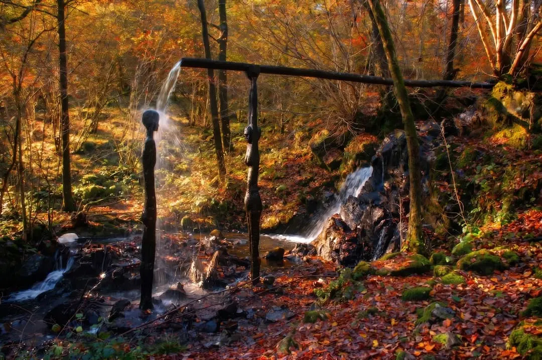
Force Falls, Grizedale
A circular walk through Grizedale Forest, its sculptures and Satterthwaite village to the hidden cascade of Force Falls. Free GPX, parking and tips.
Read guide: Force Falls, Grizedale →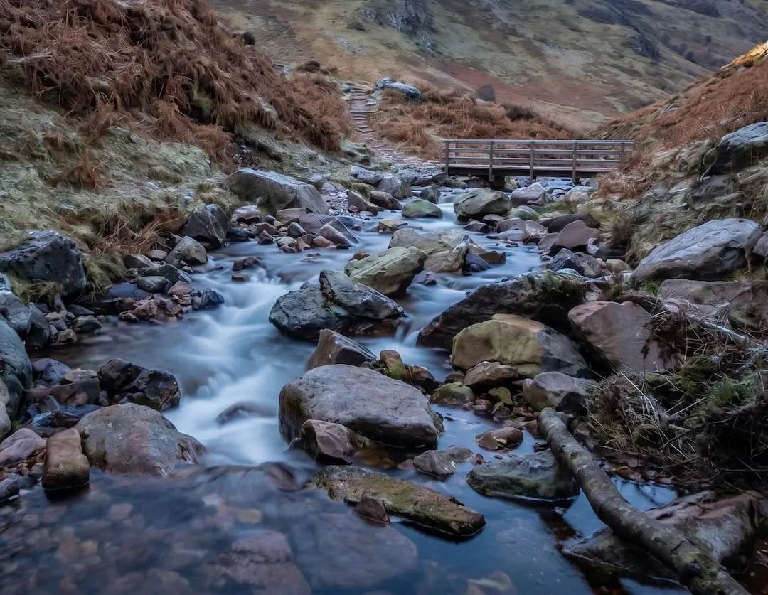
Scale Force
Walk to Scale Force, the Lake District's tallest waterfall. Our Buttermere circular guide covers the full route with free GPX download and parking info.
Read guide: Scale Force →
Stanley Ghyll Force
Walk from Dalegarth Station through a rhododendron gorge to Stanley Ghyll Force, a 60ft waterfall with a cantilevered viewing platform. Free GPX.
Read guide: Stanley Ghyll Force →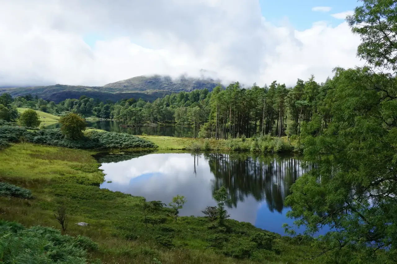
Tarn Hows & Tom Gill
A short Coniston circular via the Tom Gill waterfalls to Tarn Hows, with an OS map, free GPX download and honest parking and accessibility info.
Read guide: Tarn Hows & Tom Gill →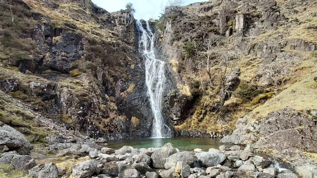
Whorneyside Force
A quiet route from the Old Dungeon Ghyll up Oxendale to a hidden Langdale waterfall, ending at a legendary hikers' pub. Free GPX, parking and tips.
Read guide: Whorneyside Force →No walks match all of those filters. Try removing a filter. These are the closest matches:
How to Choose a Lake District Walk
Start with distance, ascent and time
Every card above shows the route's distance and grade, and each guide adds the total ascent and a realistic time. Ascent matters more than distance in the fells: a 5 km walk with 250 metres of climbing, such as Castle Crag, can take longer than a flat 7 km lakeshore stroll. As a rule of thumb, allow around an hour for every 4–5 km of distance, plus an extra hour for every 600 metres of ascent — then add time for stops, photos and rough ground.
Match the walk to the weather
On clear, settled days, head high for the views — the Old Man of Coniston and Scafell Pike are at their best when the tops are free of cloud. When the fells are in mist or rain, choose a low-level or woodland route instead. Waterfall walks are the perfect wet-weather choice, since the falls are at their most dramatic after heavy rain, and sheltered routes such as Force Falls in Grizedale Forest and Rydal Caves stay enjoyable in poor visibility. Every guide includes a live three-day forecast for the walk.
Walks by area
- Ambleside, Grasmere & Langdale: High Sweden Bridge, Rydal Caves and Whorneyside Force.
- Coniston & Hawkshead: the Old Man of Coniston, Black Crag, Tarn Hows and Tom Gill and Force Falls, Grizedale.
- Windermere & the south: Gummer's How and Hoad Hill, Ulverston.
- Keswick, Borrowdale & Buttermere: Castle Crag and Scale Force.
- Ullswater: Aira Force and Gowbarrow.
- The western valleys: Scafell Pike from Wasdale and Stanley Ghyll Force in Eskdale.
- Across Cumbria: the Westmorland & Furness Way long-distance route.
Using our GPX files and maps
Each guide has a free GPX file you can load into the OS Maps app, a handheld GPS or most walking apps, and an interactive route map to preview the walk before you go. They're excellent planning and navigation aids, but they're not a substitute for a paper map and compass — batteries run flat and signal is unreliable in many Lakeland valleys. Carry the relevant OS Explorer map, check the forecast, and tell someone where you're going.
Guide last updated .